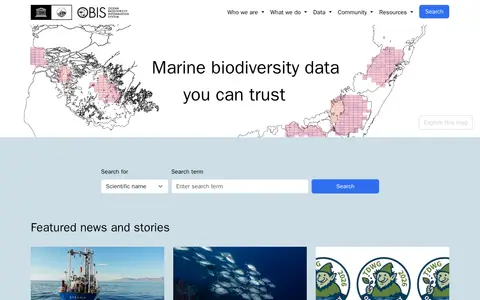
The Ocean Biodiversity Information System (OBIS) is a platform focused on marine biodiversity data. It provides tools including a data mapper, API, and community resources for accessing, contributing to, and quality-controlling datasets. OBIS coordinates global collection, aggregation, and sharing of marine biodiversity data, and shares data with global biogeographic information systems.
Directory
Search results
Published directory entries matching your search.
Filters

members.oceantrack.org
The Ocean Tracking Network is an aquatic animal tracking, data management, and partnership platform based at Dalhousie University in Canada. Its data centre collects, aggregates, cross-references, preserves, and disseminates aquatic telemetry data, and aims to inform global biogeographical information systems such as OBIS as data becomes publicly accessible under the OTN Data Policy. A map lists affiliated projects filterable by collection, contact, country, or species.


october7files.com
A website presenting documents and evidence about the October 7 attack, including operation orders, captured maps, and manuals. Sections cover Hamas's background, exploitation of civilian infrastructure, and documentation of the massacre by security forces, rescue teams, and press.

mrgris.com
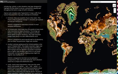
Oilslick is a color elevation map layer by Drew Roos designed to highlight fine terrain detail and work across the full range of Earth's elevation. It aims to maximize lightness contrast for small elevation differences and avoid favoring lower elevations, using a zig-zagging lightness pattern with each cycle covering 500m and hue completing one cycle over 9,275m of land elevation.

dpla-okhub.library.okstate.edu
OKHUB is Oklahoma's participation in the Digital Public Library of America. Partners collaborate with DPLA to increase online access to collections held by cultural organizations across Oklahoma, offering users Oklahoma collections alongside millions of items such as photographs, maps, manuscripts, and audio-visual materials from libraries, archives, and museums across the United States.

mermaid-js.github.io
Mermaid live editor for writing diagrams, flowcharts, sequence charts, and visual documentation.
opencontext.org
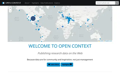
Open Context is a publishing service for archaeological and related research data, including images, maps, field notes and 3D models. It explains publishing of field documentation and data, faceted search and map-based visualization, and data download. It charges a one-time fee for publishing services, with project tiers such as a small project at $350.

opendata.kelowna.ca
Open Data Portal - City of Kelowna is the municipal open data portal for the City of Kelowna. It provides access to local municipal open data, maps, applications and stories. Users can download City of Kelowna GIS data, build applications using available resources, and participate in efforts to solve local community issues.

unstats-undesa.opendata.arcgis.com
Open SDG Data Hub is an ArcGIS Hub platform focused on dataset discovery and access. It allows users to discover, analyze and download data in formats including CSV, KML, Zip, GeoJSON, GeoTIFF and PNG. The platform provides API links for GeoServices, WMS and WFS, and supports the creation of StoryMaps and Web Maps for data visualization.

open-loiret.opendata.arcgis.com
open-loiret.opendata.arcgis.com is an ArcGIS Hub site that provides access to geospatial datasets. Users can discover, analyze and download data in formats including CSV, KML, Zip, GeoJSON, GeoTIFF and PNG. The site offers API links for GeoServices, WMS and WFS, and supports the creation of StoryMaps and Web Maps.

openaddresses.io
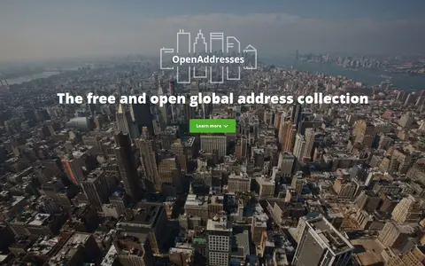
OpenAddresses is a free and open global collection of address data. It combines street names, house numbers and postal codes with geographic coordinates to connect digital to physical places. The data can be parsed and imported into a database, placed on a map, or used for geocoding, and is openly licensed.

openaq.org
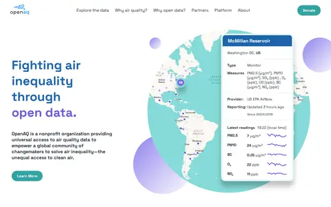
OpenAQ is a nonprofit environmental technology organization that provides open access to ground-level air quality data. It aggregates data from hundreds of sources worldwide and harmonizes them on an open-source platform. Users can access data through a REST API, an interactive map, and the OpenAQ Explorer web application. The platform provides physical measurements rather than aggregated values such as air quality indexes.
opendatakerala.org
OpenDataKerala is a community-driven open data initiative serving Kerala State in India. It manages projects including local self-government election data, open geographic portals, and open mapping initiatives, and organizes events such as Wikiconference Kerala, State of the Map Kerala, and Open Data Days.

opendronemap.org
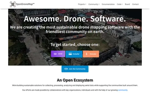
OpenDroneMap is drone mapping software that generates maps, point clouds, 3D models and DEMs from images taken by any camera in any orientation. Its ecosystem includes ODM, a command line toolkit for processing aerial images from drones, balloons or kites, plus NodeODM, CloudODM, PyODM, ClusterODM and other projects.

ni-lgln-opengeodata.hub.arcgis.com
OpenGeoData.NI, also referred to as OpenGeoData Niedersachsen, is a platform for discovering, analyzing and downloading geospatial data. It offers data downloads in formats including CSV, KML, Zip, GeoJSON, GeoTIFF and PNG, provides API links for GeoServices, WMS and WFS, and supports data analysis and the creation of StoryMaps and web maps.

opengeofiction.net
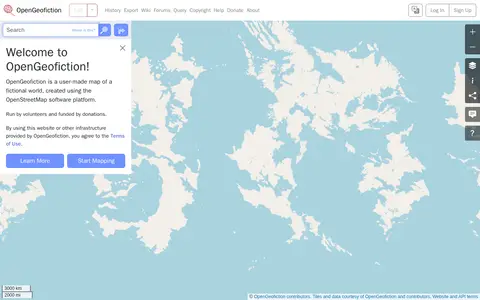
OpenGeofiction is a user-made map of a fictional world, created using the OpenStreetMap software platform. The site is run by volunteers and funded by donations, and use of the website or other provided infrastructure is subject to the Terms of Use. It offers a way to learn more and start mapping.

openmaptiles.org
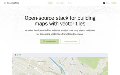
OpenMapTiles is an open-source stack for building world maps with OpenStreetMap vector tiles. It includes a vector tile schema, ready-to-use map styles, and tools for generating vector tiles. It works with MapLibre GL, Leaflet, OpenLayers, GIS, and WMTS. The project was created by MapTiler, which maintains the schema and tools.
openrailwaymap.app
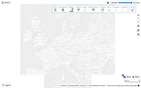
Explore railway infrastructure on a world map.

openscope.io
openScope is a free and open source air traffic control simulator. The interface references arrivals, overflights, departures, fixes and runways, SID and STAR displays, airspace depiction, restricted areas, terrain, video maps, settings, speech, traffic, an airport guide, commands, a tutorial, a changelog and chat.
openstreetmap.org
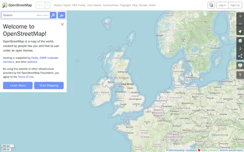
OpenStreetMap is a map of the world created by contributors and free to use under an open license. The site offers help resources, including a beginners' guide, a community forum, mailing lists and a wiki.
opensupplyhub.org
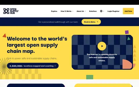
Open Supply Hub is an open map where brands, suppliers, and advocates search, share, and collaborate on supply chain data. It maps production locations, assigns each location a universal OS ID, and standardizes shared data for matching. Suppliers can claim and verify their location on a free supplier database, and the platform is described as a Digital Public Good.
opentracksapp.com
OpenTracks is an open-source sport tracking application described as completely respecting privacy. Its features include elevation gain estimates, Bluetooth LE heart rate sensors, photos and markers during tracking, online and offline maps, and map theming. A pure offline version without internet permission is available via F-Droid. The app contains no in-app analytics and no cloud integration.
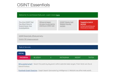
osintessentials.com
Curated OSINT toolkit with links for people search, social media, maps, domains, and research.
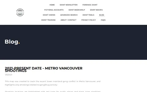

osinttechniques.com
OSINT Techniques is a blog covering open-source intelligence topics, with sections on forensic OSINT, fictional accounts, books, movies, videos, tools and training. One post from 2021 presents a map tracking lower mainland gang conflict shootings in Metro Vancouver, built from news articles and law enforcement releases.