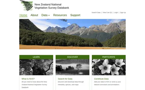
The New Zealand National Vegetation Survey Databank is a repository for vegetation survey data. Users can search for and download datasets through metadata, species and maps, view scientific names and NVS species code lists, and access the NVS Express tools and developer resources. Datasets may be open access or require the owner's permission before download.
Directory
Search results
Published directory entries matching your search.
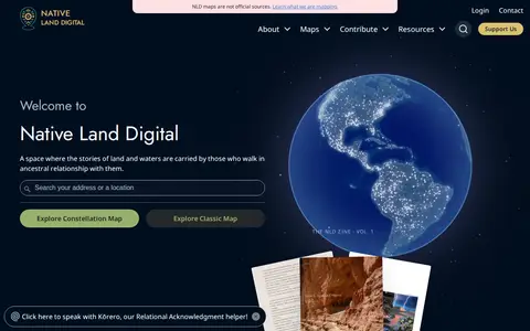
Native Land is a resource and app for learning about Indigenous territories, languages, lands, and ways of life, and for mapping Indigenous territories, treaties, and languages. It also states that its maps are not official sources. The site notes it provides geoJSONs and an API for free.
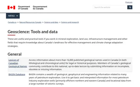
A Natural Resources Canada geoscience tools and data page that gathers geological, geophysical and geochemical resources. It includes a lexicon of Canadian geological names, petroleum exploration databases, geochemical surveys, geophysical data repositories, groundwater and permafrost networks, and marine geoscience databases and map services.
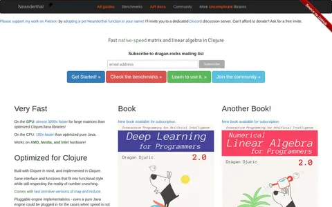
Neanderthal is a Clojure library for fast native matrix and linear algebra, built with native BLAS and LAPACK for number crunching and wrapped in a small Clojure layer. It offers pluggable engine implementations, including a pure Java engine, plus primitive versions of map and reduce.
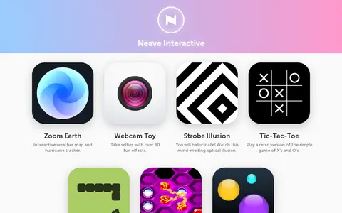
Neave Interactive offers a collection of browser-based apps. These include Zoom Earth, an interactive weather map and hurricane tracker, and Webcam Toy for taking selfies with over 80 effects. The site also lists small games and toys such as Strobe Illusion, Tic-Tac-Toe, Snake, Hexxagon and Bouncy Balls.
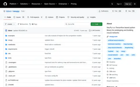
NeuPy is a Python library built on Tensorflow for prototyping and building neural networks. The repository notes that the library is no longer actively maintained. It includes examples and notebooks covering algorithms such as Boltzmann machines and self-organizing maps.
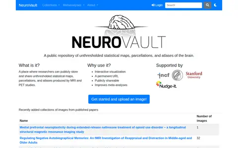
NeuroVault is a public repository where researchers can store and share unthresholded statistical maps, parcellations and atlases produced by MRI and PET studies. It offers interactive visualization, permanent URLs and publicly shareable images, and the site states it improves meta-analyses. An API provides access to atlases, collections and images.
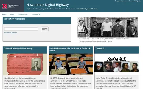
New Jersey Digital Highway is an online portal for New Jersey culture and history, drawing on collections from cultural heritage institutions. It provides searchable digital collections, exhibits on topics such as Chinese immigration and Seabrook Farms, digital maps, an environmental digital library, a peer-reviewed studies journal, and resources for students and teachers.
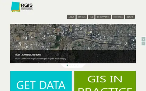
The New Mexico Resource Geographic Information System Program provides a data portal for GIS information. Its Image Archive Program, maintained by the Earth Data Analysis Center at the University of New Mexico, hosts historical aerial photography data for New Mexico and the US Southwest, alongside space shuttle imagery, satellite imagery, topographic maps, and digital data.
New Westminster Open Data is the official open data portal for the city of New Westminster. It enables users to discover, analyze, and download municipal datasets in formats including CSV, KML, Zip, GeoJSON, GeoTIFF and PNG. The portal provides API links for GeoServices, WMS, and WFS, and supports the creation of StoryMaps and Web Maps for data visualization.
The Newfoundland and Labrador Open Data portal releases government datasets under an open licence, free of charge for anyone to use and reuse for any purpose. It offers tabular and spatial dataset catalogs, tags for finding data by topic, and charts and maps built from individual datasets. Data is provided in accessible, machine-readable formats such as XLS, CSV and TXT.
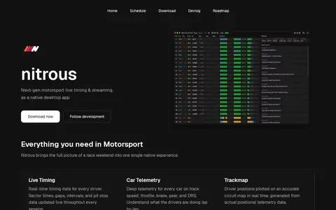
Nitrous is a native desktop app for motorsport live timing and streaming. It connects to Formula 1 data feeds and presents live timing, car telemetry, trackmap, race control messages and session replay. Basic live timing and telemetry work without a subscription; streaming features such as F1 TV or the Driver Tracker Track Map require an active F1 subscription linked to the account. The app runs on macOS, Linux and Windows.
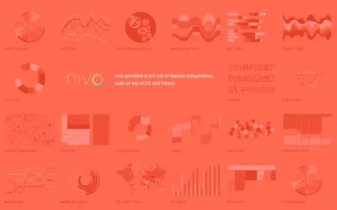
Nivo is a library of React data visualization components built on top of D3 and React. It provides a range of dataviz components including chord diagrams, line charts, bar charts, pie charts, choropleth maps and other visualization types.
NJParcels.com provides New Jersey property information, real estate and sales data, and interactive maps and metrics of taxation and valuation data. Data is pulled from official sources, including the Monmouth Tax Board web application, and links parcel and other GIS and demographic data. Users can drill down by county, municipality, block and lot, or search by mailing or street address.
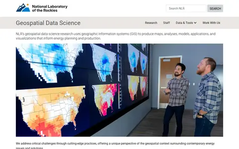
NLR's geospatial data science research uses geographic information systems (GIS) to produce maps, analyses, models, applications, and visualizations that inform energy planning and production. The work offers a geospatial perspective on contemporary energy issues and solutions.
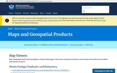
A National Centers for Environmental Information page presenting maps and geospatial products, including map viewers with data visualization tools and story maps combining maps, narrative text, images and multimedia. It also links to ArcGIS REST service directories for GIS servers with metadata and download formats for programmers and developers.
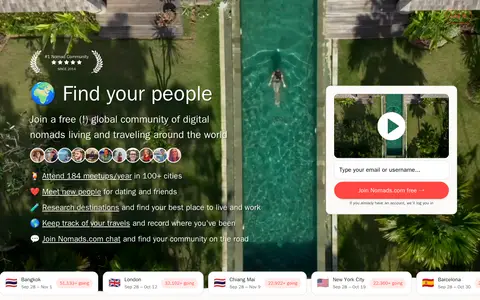
Nomads.com, formerly Nomad List, is a community and research site for digital nomads and remote workers. It offers tools to explore places based on cost of living, internet speed and weather, and a global community with meetups, chat and a members map. The site states it has been the #1 Nomad Community since 2014.
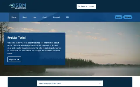
The North Carolina Open Data Portal is operated by the North Carolina Office of State Budget and Management (OSBM). It provides public access to state datasets, with features including data maps, charts, and API access.
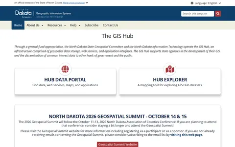
The GIS Hub is operated by the North Dakota State Geospatial Committee and North Dakota Information Technology. It is an infrastructure of geospatial data storage, web services, and application interfaces that supports state agencies' GIS development and shares common interest data with other government levels and the public. A data portal and Hub Explorer mapping tool provide access.
Northstar is a modding framework client that allows users to host their own Titanfall 2 servers using custom scripts and assets, including vanilla content. Installers such as FlightCore and VTOL provide mod management, and the project lists planned features including a party system, mod auto download and mapping tools.
Northstar is a Titanfall 2 modding and custom server framework listed on Thunderstore, a mod database and API for downloading Titanfall 2: Northstar mods. The listing catalogs packages across categories such as client-side mods, custom menus, maps, models, server-side mods and skins.
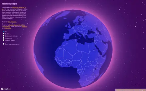
Notable People is a map showing birthplaces of the most notable people around the world, using data from Morgane Laouenan et al. The data has been processed to display only one person for each unique geographic location with the highest notability rank, with filters by category.
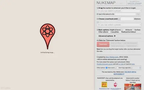
NUKEMAP is a website created by Alex Wellerstein for visualizing the effects of nuclear detonations. Users drag a marker to a target, choose a warhead yield or preset, and detonate; the map renders effects and supports export to Google Earth as KMZ.
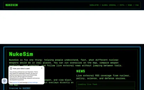
NukeSim is an educational nuclear explosion simulator with effects modeling. It lets users run scenarios on a map, compare weapon profiles, view blast, thermal, radiation and fallout overlays, browse a global arsenal database, read articles and follow external nuclear news. The project states it is inspired by NUKEMAP.