
Directory

Search results

Published directory entries matching your search.

Search results

35 listings
unavco.org

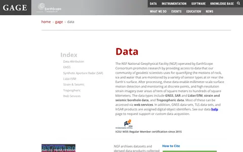
The NSF National Geophysical Facility, operated by EarthScope Consortium, provides access to geodetic data used to monitor motion of rock, ice and water at or near the Earth's surface. Data types include GNSS, synthetic aperture radar, lidar/SfM, strain and seismic borehole data, and tropospheric data; most are accessible via web services.

Dataset & Data Search 0
oedatarep.ct.ingv.it

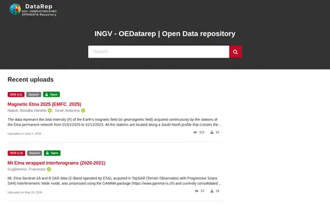
OEDataRep is the open data repository operated by INGV - OE and powered by the InvenioRDM platform. It hosts research data collections, features recent uploads, and provides documentation, search guides, a data registry, data policies, and related services including TSDSystem and Geoserver. Users can contribute data via GitHub, and the repository is listed in relevant research data platforms.

Dataset & Data Search 0
geologyontario.mndm.gov.on.ca

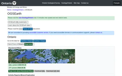
OGSEarth provides KML geospatial information for Ontario geological data, covering provincial datasets and regional coverage for Northern and Southern Ontario. The page lists datasets regularly updated, including bedrock geology, mining claims, drill holes, and aggregate resources. Datasets can be bookmarked via links on the page.

Dataset & Data Search 0
openlandmap.org

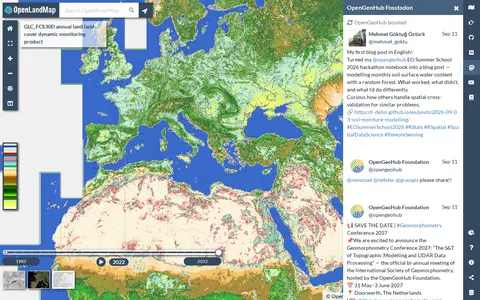
Searchable repository for finding geography datasets and datasets.

Dataset & Data Search 0

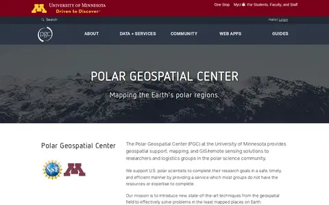
The Polar Geospatial Center at the University of Minnesota provides geospatial support, mapping, and GIS and remote sensing solutions to researchers and logistics groups in the polar science community. It maintains a library of commercial satellite imagery, elevation models, and a historical and contemporary map catalog, and offers browser-based tools for accessing polar data.

Dataset & Data Search 0

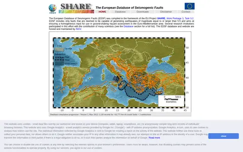
The European Database of Seismogenic Faults was compiled under the EU SHARE project. It includes only faults deemed capable of generating earthquakes of magnitude 5.5 or larger and aims to provide homogeneous input for ground-shaking hazard assessment in the Euro-Mediterranean area. The database and website are hosted and maintained by INGV.

Dataset & Data Search 0
vmf.geo.tuwien.ac.at

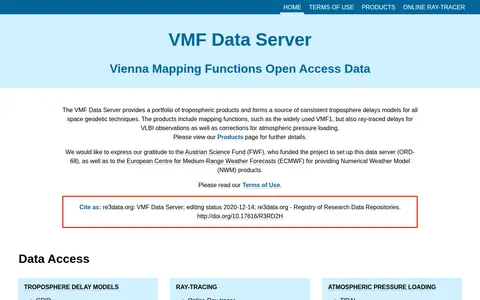
The VMF Data Server provides a portfolio of tropospheric products and consistent troposphere delay models for space geodetic techniques. Products include mapping functions such as VMF1, ray-traced delays for VLBI observations, and corrections for atmospheric pressure loading. The server was set up under a project funded by the Austrian Science Fund.

Dataset & Data Search 0
pid.volare.vorarlberg.at

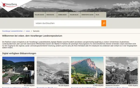
Searchable repository for finding geography datasets and datasets.

Dataset & Data Search 0
world-stress-map.org

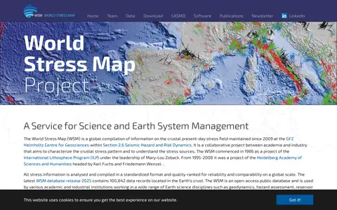
The World Stress Map is a global compilation of information on the crustal present-day stress field, maintained since 2009 at the GFZ Helmholtz Centre for Geosciences. It is an open-access database with stress information compiled in a standardized, quality-ranked format. The 2025 database release contains 100,842 data records in the Earth's crust.

Dataset & Data Search 0
worldpop.org

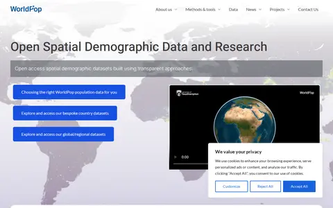
WorldPop is a geospatial and population research project that develops and provides open access, high-resolution spatial demographic datasets and solutions, with a focus on low- and middle-income countries. The project creates peer-reviewed research and methods for constructing these datasets, and offers access to bespoke country-level and global or regional datasets, along with tools including an API and GIS plugins.

Dataset & Data Search 0
wovodat.org

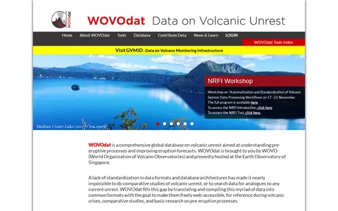
WOVOdat is a global database on volcanic unrest maintained by WOVO and hosted at the Earth Observatory of Singapore. It offers tools including data search by volcano, Boolean searches, side-by-side comparisons, and a web service for data retrieval. Submitted data is converted into XML format and stored in a MySQL database system.

Dataset & Data Search 0