





NSF GAGE Facility

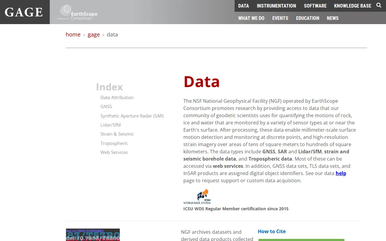
The NSF National Geophysical Facility, operated by EarthScope Consortium, provides access to geodetic data used to monitor motion of rock, ice and water at or near the Earth's surface. Data types include GNSS, synthetic aperture radar, lidar/SfM, strain and seismic borehole data, and tropospheric data; most are accessible via web services.

Website Directory import
0 shouts Added Sep 23, 2026 unavco.org
www.unavco.org/data/data.html
NSF GAGE Facility website preview

Features

  • Data types include GNSS, SAR, Lidar/SfM, strain and seismic borehole Source: www.unavco.org

Links

Tags