Directory

Search results

Published directory entries matching your search.

Search results

35 listings
geode-sdk.org

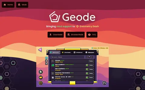
Geode is a fan-made extension for Geometry Dash that adds mod support to the game. It is open-source and offers an in-game mod list for Windows, macOS, Android and iOS, along with a hooking syntax and built-in UI components for modders. The site notes that Geode is currently broken after the Geometry Dash 2.2091 update and that a fix is in progress.

Game-Specific Tools 0
github.com

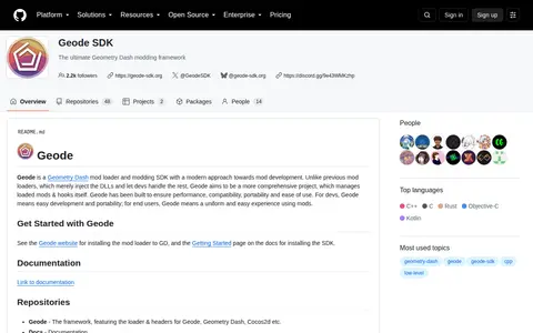
Geode Sdk is a GitHub repository or organization with source code, releases, documentation, or project resources.

Game-Specific Tools 0
Preview unavailable
twitter.com

Geode Sdk is a gaming tool for game fixes, launchers, mods, status checks, cloud gaming, or utilities.

Game-Specific Tools 0
geoportal.rlp.de

Find and access geophysics and geodesy research data, with indexed datasets.

Dataset & Data Search 0
ilrs.cddis.eosdis.nasa.gov

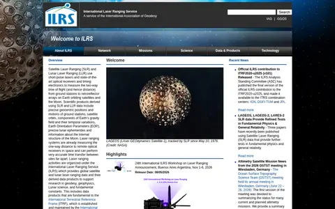
The International Laser Ranging Service provides global satellite and lunar laser ranging data and derived data products. Satellite and lunar laser ranging use short-pulse lasers and optical receivers to measure two-way time of flight from ground stations to retroreflector arrays on satellites and the Moon. The service supports research in geodesy, geophysics, lunar science and fundamental constants.

Dataset & Data Search 0

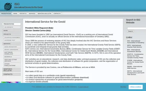
The International Service for the Geoid is a service of the International Association of Geodesy, provided by centres at Politecnico di Milano and NGA. It collects and distributes geoid data on a worldwide scale, distributes software for geoid determination, conducts research on geoid determination procedures, organizes geoid schools, and edits and distributes Newton's Bulletin.

Dataset & Data Search 0
openaltimetry.org

Find and access geophysics and geodesy research data, with indexed datasets.

Dataset & Data Search 0

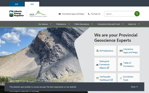
The Alberta Geological Survey is a provincial geoscience body that publishes geological data, maps and reports for Alberta. It offers publications and interactive tools, including the Geothermal Atlas, the Mineral Occurrences dashboard, the Table of Formations and an earthquake dashboard.

Dataset & Data Search 0
floodobservatory.colorado.edu

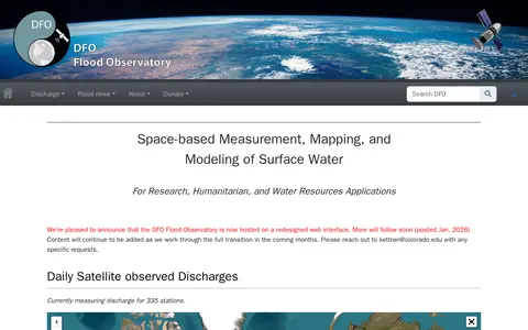
Search geography data collections and supporting datasets from USA.

Dataset & Data Search 0

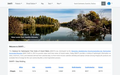
The Database for Hydrological Time Series of Inland Waters (DAHITI) was developed in 2013 by DGFI-TUM. It provides hydrological information on lakes, reservoirs, rivers and wetlands derived from satellite altimetry and optical remote sensing imagery. Products are available free of charge after a short registration process.

Dataset & Data Search 0
hpiers.obspm.fr

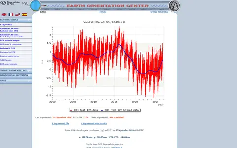
The Earth Orientation Center is the EOP Product Centre of the International Earth Rotation and Reference Systems Service. It collects time series of Earth Orientation Parameters from astro-geodetic techniques, archives them for FTP and web access, and computes combined solutions including the IERS C04 and C01 series. It also produces DUT1 and leap second announcements.

Dataset & Data Search 0
earthenv.org

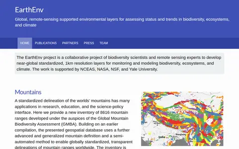
EarthEnv is a collaborative project of biodiversity scientists and remote sensing experts that develops near-global standardized 1km resolution layers for monitoring and modeling biodiversity, ecosystems, and climate. It presents datasets including mountain delineations, tropical cloud forests, precipitation, topography, habitat heterogeneity, land cover, cloud cover climatology, a digital elevation model and freshwater environmental variables.

Dataset & Data Search 0
gddp.pro

GDDP is a project started by Trusta that orders Geometry Dash levels into tiers by difficulty, aiming to help players improve by completing tiers from Beginner to Obsidian. The site offers completion tracking, leaderboards, a Geode mod and a private server.

Game-Specific Tools 0
data.kigam.re.kr

Research data portal for exploring geology records, including geospatial data.

Dataset & Data Search 0
geofon.gfz.de

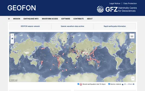
GEOFON is a seismic network and waveform data archive operated under the GEOFON Program at GFZ. The site provides rapid earthquake information on recent events and points to interactive forum and messaging services, along with information on SeisComP software.

Dataset & Data Search 0
icgem.gfz.de

ICGEM is the International Centre for Global Earth Models, coordinated by IGFS of the IAG. It collects and archives global gravity field models and provides a web interface, visualization of models and their time variation, and a calculation service for gravity field functionals. It also offers tutorials and assigns DOIs to model datasets.

Dataset & Data Search 0
datacenter.ipgp.fr

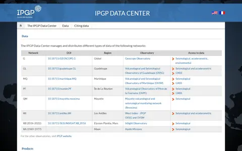
The IPGP Data Center manages and distributes several types of data from networks including the Geoscope Observatory and the volcanological and seismological observatories of Guadeloupe, Martinique, Réunion and Mayotte. It also provides access to validated earthquake data and volcano activity reports, and hosts the IPGP Research Collection for sharing and preserving research data and documents.

Dataset & Data Search 0

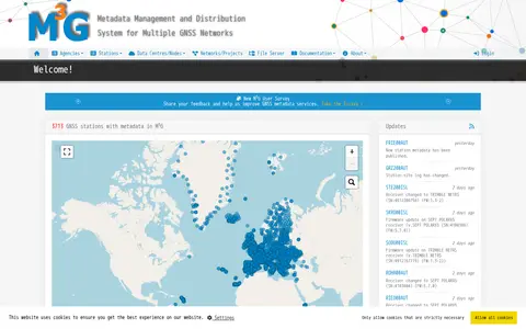
M3G is a metadata management system for multiple GNSS networks. It lists GNSS stations with details such as identifiers, site names, DOMES numbers, installation dates, countries, cities, data licenses, GeodesyML, site logs and MOID, and displays recent station update notices.

Dataset & Data Search 0
navdat.org

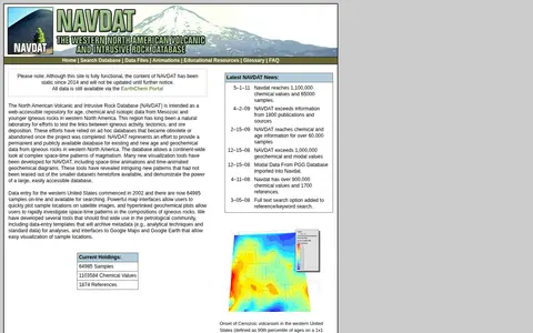
NAVDAT is a web-accessible repository for age, chemical and isotopic data from Mesozoic and younger igneous rocks in western North America, allowing a continent-wide view of magmatism patterns. The site remains functional but its content has been static since 2014 and will not be updated until further notice; data is still available via the EarthChem Portal.

Dataset & Data Search 0