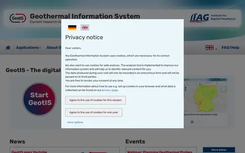

GeotIS is a free digital information system about geothermal energy in Germany, developed by the LIAG Institute for Applied Geophysics with universities, research institutions and companies on behalf of the German Bundestag. It presents subsurface models and offers maps, statistics and tools for investigating geothermal potential, from initial overview to calculation of possible returns.
Directory
Search results
Published directory entries matching your search.
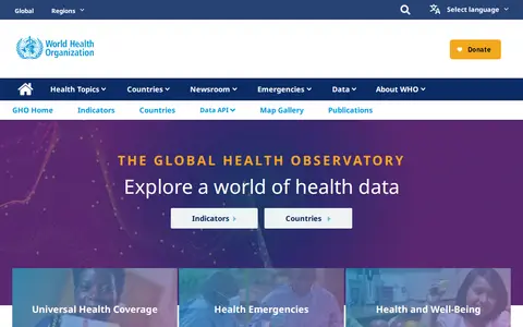
The Global Health Observatory data repository is the World Health Organization's gateway to health-related statistics for its 194 Member States, providing access to over 1000 health topic indicators through indicators, countries, a data API and a map gallery. COVID-19 data is not currently provided by the GHO APIs.
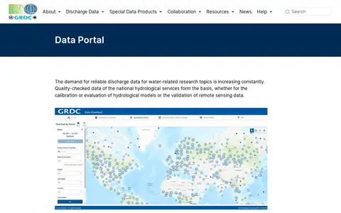
The GRDC Data Portal is a web-based tool for searching and visualising runoff stations and time series data in map and table view. Users select stations, regions, subregions or countries and download data in six formats, with optional subregion or watershed boundaries. Hydrological data are released only for research purposes; commercial use and redistribution are not allowed.
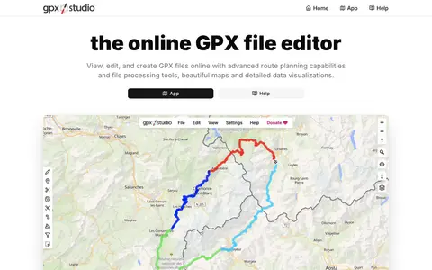
GPX Studio edits, merges, cleans, and visualizes GPS tracks and route files in the browser.
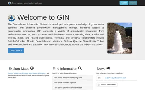
Groundwater Information Network (GIN) is a resource for exploring and accessing groundwater data. It provides maps for exploring aquifers and related groundwater information, and allows users to view and download water well and monitoring site information.
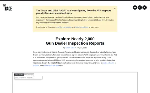
Gun Dealer Inspections is a database from The Trace for searching inspection reports of federally licensed gun dealers. It contains reports for nearly 2,000 licensees inspected between 2015 and 2017 that received revocations, warnings or other penalties. Users can explore a map or browse by state, outcome or violation.
Open Data Hartford is a data portal for discovering, analyzing and downloading data. It offers downloads in CSV, KML, Zip, GeoJSON, GeoTIFF or PNG formats, API links for GeoServices, WMS and WFS, and analysis with charts and thematic maps.
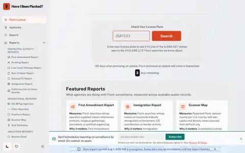
Have I Been Flocked? is a search tool for checking whether a license plate appears in Flock Safety audit logs. It draws on data from Flock searches and offers reports on First Amendment and immigration-related searches plus a map of reported Flock camera counts by U.S. county.
House Creep is a web-based directory that catalogues stigmatized and noteworthy residential properties worldwide. It offers free access to crowdsourced historical reports on homes with criminal, creepy, or notable pasts, including murder houses, haunted residences, and famous historic homes. The platform includes curated property collections, a city search function, and a paid VIP tier that unlocks an interactive map for location-based property history searches.
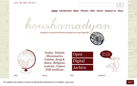
Houshamadyan is a project to reconstruct Ottoman Armenian town and village life. The site provides maps, themes, music, a library, a video library and a shop, with new articles on dialect, songs, sayings, monasteries and commerce.
US incident information system for wildfires, emergency incidents, maps, and official updates.
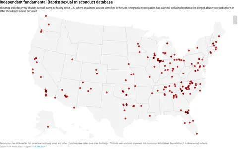
A map listing every church, school, camp or facility in the U.S. where an alleged abuser identified in the Star-Telegram's investigation has worked, including locations worked before or after the alleged abuse occurred. Some churches no longer exist and others have taken over their buildings.
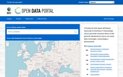
The INGV Open Data Portal provides public access to metadata from the institutional Data Registry of the Istituto Nazionale di Geofisica e Vulcanologia, covering research data in seismology, volcanology and environment. Data are attributed to their authors and can be searched by keyword or by drawing an area on a map; datasets are listed by availability of web services for programmatic access.
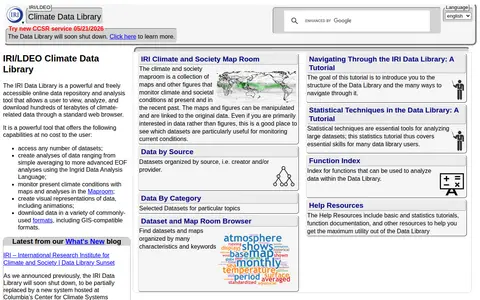
The IRI Data Library is a freely accessible online repository and analysis tool for climate-related data. It allows users to view, analyze and download hundreds of terabytes of data through a web browser, access datasets, create analyses with the Ingrid Data Analysis Language, monitor climate conditions in the Maproom, and download data in GIS-compatible formats.
The Jewish Virtual Library is a resource from the American-Israeli Cooperative Enterprise containing articles, photographs and maps on Jewish history, Israel, Israel–United States relations, the Holocaust, antisemitism and Judaism, plus politics, biographies, travel guides and a section on Jewish women.
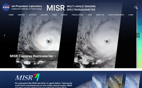
The Multi-angle Imaging SpectroRadiometer (MISR) is a NASA instrument onboard the Terra satellite, presented by the Jet Propulsion Laboratory. The site offers news, events, image quizzes and visualizations including 3D globe animations, world maps and stereo anaglyphs. It also references a tool for the MISR Plume Height Project.
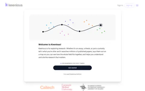
Keenious is an AI-assisted tool for exploring published academic research. It searches about 177M publications, groups results into research areas on a map, and explains unfamiliar terms, methods, and statistics beside the paper. It also translates studies published in other languages. The source states it does not write essays, paragraphs, or assignment outlines.
The KIT Whole-Body Human Motion Database is a large-scale database of captured whole-body human motion. Motion is normalized with the master motor map reference model, and recordings are manually annotated with tree-structured tags for searching. The data include object positions and subject–object relations.

Browse digitized texts, images, archives and cataloged cultural materials.
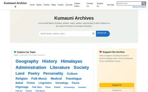
Kumauni Archives is a non-profit library of books, articles, maps, audios, manuscripts and other artifacts on the study of Kumaun and Kumauni literature. It offers browsing by topic and hosts theses and other entries.
The Kunitachi College of Music Repository is the institutional repository of Kunitachi College of Music. It operates on the WEKO3 platform using Netcommons and Maple CMS, and provides features for searching repository items, sorting results by attributes such as title, registrant, and publication date, as well as exporting and printing listed items.
The Kurume University Institutional Repository is the institutional repository for Kurume University. It is built on the WEKO3 platform using Netcommons and Maple CMS, and provides functions for searching repository items, sorting results by attributes including title, registrant, and publication date, as well as exporting and printing listed items.
The Kwassui Women's University Repository is the institutional repository for Kwassui Women's University. It operates on the WEKO3 platform with Netcommons and Maple CMS, and provides features for searching repository items, sorting results by attributes such as title, registrant, and publication date, as well as exporting and printing listed items.
KyGovMaps Open Data Portal is a platform for accessing Kentucky-specific geographic information system (GIS) data and mapping applications. Users can explore, download and analyze geospatial datasets, combine data via map tools, and develop custom web and mobile applications using the portal's resources.