
developers.google.com
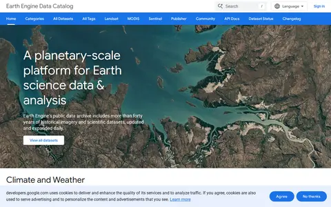
Google Earth Engine catalog of satellite imagery, climate data, land cover, and geospatial datasets.
Directory
Published directory entries matching your search.
Google Earth Engine catalog of satellite imagery, climate data, land cover, and geospatial datasets.

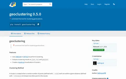
Python package for clustering geographic coordinates and grouping location data points.

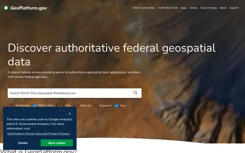
US geospatial portal for discovering government maps, data layers, services, and geographic resources.