
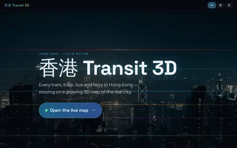

Hong Kong Transit 3D is an independent project presenting a real-time 3D schedule simulation of Hong Kong's trains, trams, buses, and ferries over real terrain. Vehicles move according to published frequencies and the Hong Kong clock, not GPS tracking. The map includes depth-true tunnels, a per-line underground cross-section view, and trilingual support.
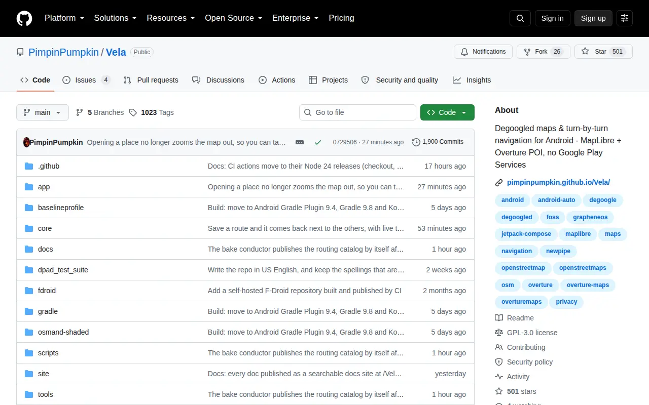
Vela
Vela is a miscellaneous web resource for discovery, directories, archives, web culture, or useful tools.
Links
Tags
-
0Hong Kong Transit 3D is an independent project presenting a real-time 3D schedule simulation of Hong Kong's trains, trams, buses, and ferries over real terrain. Vehicles move according to published frequencies and the Hong Kong clock, not GPS tracking. The map includes depth-true tunnels, a per-line underground cross-section view, and trilingual support.
-
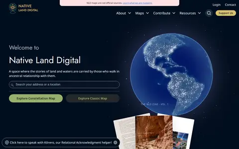
0Native Land is a resource and app for learning about Indigenous territories, languages, lands, and ways of life, and for mapping Indigenous territories, treaties, and languages. It also states that its maps are not official sources. The site notes it provides geoJSONs and an API for free.
-
0An interactive world map of light pollution that overlays data including NASA Black Marble VIIRS, sky brightness, aurora prediction, observatories and clouds, with SQM/SQC measurements contributed by users. It offers tools such as distance measurement, sky brightness simulation and a search for the closest dark site.
-
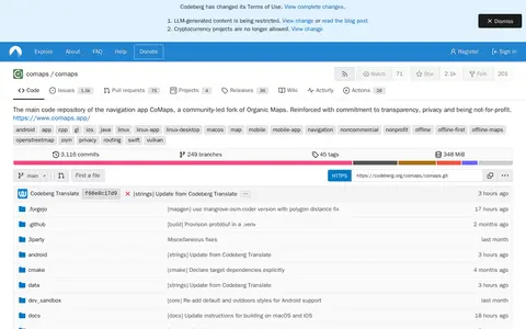
0CoMaps is a navigation app and community-led fork of Organic Maps, maintained in a Codeberg code repository. The repository hosts the app's main source code and lists offline map navigation and routing among its topics. The project is described as noncommercial and nonprofit.
-
0MapCrunch displays random Google Street View locations around the world, allowing users to explore imagery from 50 countries. Users can filter views by country or region using a list or map, and selected views are added to a daily gallery. Views can be shared with a name shown under the gallery image.
-
0
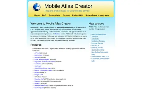
Mobile Atlas Creator (MOBAC) is an open source GPL program that creates offline atlases for GPS handhelds and cell phone applications from online map sources such as OpenStreetMap-based maps. It is written in Java and runs on Windows, Linux, and MacOS.
Community notes
Reviews and discussion
No reviews yet
Be the first to share how this project worked for you.
Join the discussion
Sign in with a verified account to leave a review or join the discussion.
Sign in to review