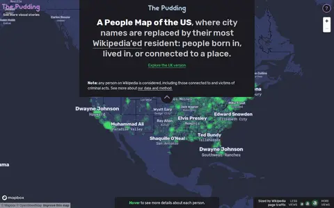

A People Map of the US is a map by Matt Daniels and Russell Samora that replaces city names with their most Wikipedia-viewed resident. Person and city associations were based on Wikipedia's "People from X city" pages, using English Wikipedia data collected from July 2015 to May 2019, with the top person determined by median pageviews.
Directory
Maps & Navigation
Maps, directions and place data from many different sources sit together here. Listings include general map services, satellite and aerial imagery, street-level views, route planners and place search. Others cover specialist data such as fire hotspots, shipping traffic, weather or public transport. Compare the coverage for the area you care about, how often the data updates and whether the terms let you reuse it. Coverage and accuracy differ by region, and some datasets change rarely, so check the date before you rely on what you find.
Wikimap is a miscellaneous web resource for discovery, directories, archives, web culture, or useful tools.
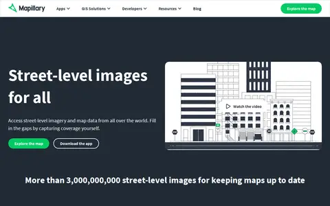
Mapillary is a platform that hosts, processes, and publishes street-level imagery and map data. It combines collaborative image contributions with computer vision to scale and automate mapping, and offers access to street-level imagery and map data from around the world.
Waze is a miscellaneous web resource for discovery, directories, archives, web culture, or useful tools.
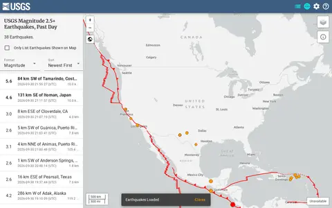
ArcGIS dashboard visualizing recent earthquakes, locations, magnitudes, and related seismic data.
3D Map is a miscellaneous web resource for discovery, directories, archives, web culture, or useful tools.
LanguageMap is an interactive world language map that shows where each language is spoken and how languages are related. It includes a daily guessing game and indicates that 877 of the 8,238 languages listed by Glottolog are on the map so far.
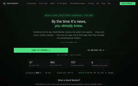
World Monitor is a free, open-source global intelligence dashboard that streams live data feeds onto a single world map with AI analysis. It covers conflict events, military flights, ship movements, market data, shipping chokepoints, internet outages and cyber signals, and provides a REST API with MCP equivalents.
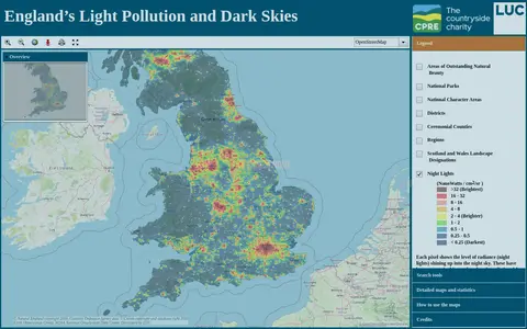
An online map of England's light pollution and dark skies. Users can search by postcode, district or National Character Area, tick boundaries in the legend to display them, and click the map for detailed information about an area. The map uses OpenStreetMap and World Imagery data and was developed by LUC.
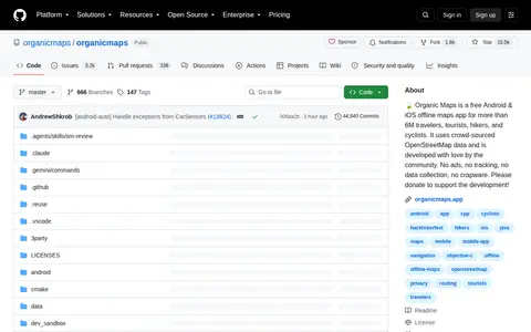
Organicmaps is a miscellaneous web resource for discovery, directories, archives, web culture, or useful tools.
city roads is a miscellaneous web resource for discovery, directories, archives, web culture, or useful tools.
Erin's Informed Consent HRT Map points to a Reddit community or thread with discussion, guides, updates, or shared resources.
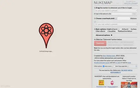
NUKEMAP is a website created by Alex Wellerstein for visualizing the effects of nuclear detonations. Users drag a marker to a target, choose a warhead yield or preset, and detonate; the map renders effects and supports export to Google Earth as KMZ.
Project4 4 is a miscellaneous web resource for discovery, directories, archives, web culture, or useful tools.
Advanced Search is a miscellaneous web resource for discovery, directories, archives, web culture, or useful tools.
MAP is a miscellaneous web resource for discovery, directories, archives, web culture, or useful tools.
Map Complete is a miscellaneous web resource for discovery, directories, archives, web culture, or useful tools.
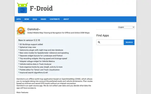
OsmAnd~ is an open source offline world map application based on OpenStreetMap, available from F-Droid. It offers map viewing, GPS navigation without an internet connection, route planning and GPX track recording. The listing notes anti-features including non-free assets and tracking via an installation ID sent with map download requests.
USGS is a miscellaneous web resource for discovery, directories, archives, web culture, or useful tools.
r/MapPorn points to a Reddit community or thread with discussion, guides, updates, or shared resources.
ArcGIS Living Atlas offers curated maps, imagery, demographic layers, and global geographic datasets.
Liveuamap is a map-centric news site founded in 2014 by developers and journalists. Liveuamap shows conflict and other news geographically, using AI web crawlers and analysts to fact-check stories before editors place them on the map. The site offers an archive of past site information and has expanded its coverage beyond the Ukrainian conflict to other regions, including Israel-Palestine.
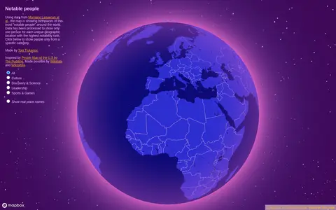
Notable People is a map showing birthplaces of the most notable people around the world, using data from Morgane Laouenan et al. The data has been processed to display only one person for each unique geographic location with the highest notability rank, with filters by category.
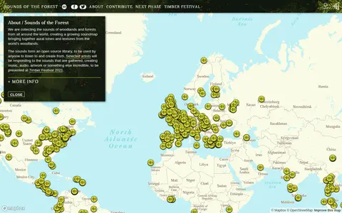
Sounds of the Forest is a project collecting the sounds of woodlands and forests from around the world into a growing soundmap. The collected sounds form an open source library that anyone can listen to and create from. The project was created by Wild Rumpus and is built on Mapbox GL JS.