
wunderground.com
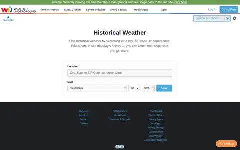
Weather Underground archive for checking historical weather, station data, and past conditions.
Directory
Published directory entries matching your search.
Weather Underground archive for checking historical weather, station data, and past conditions.

Timeanddate weather page for checking temperatures, forecasts, and conditions by city.

Weather service for forecasts, radar, alerts, hourly conditions, and local weather updates.

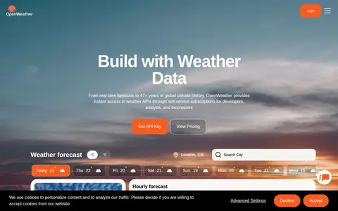
Weather data platform offering forecasts, current conditions, maps, and weather APIs.

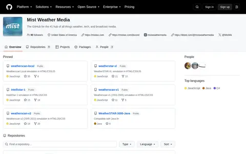
Mist Weather Media is a miscellaneous web resource for discovery, directories, archives, web culture, or useful tools.

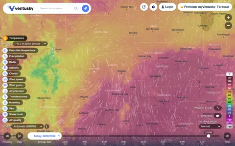
Ventusky provides live weather maps showing wind, rain, radar and temperature, with over 50 weather layers and detailed forecasts. Data comes from weather forecast models including ECMWF, GFS, ICON and GEM.

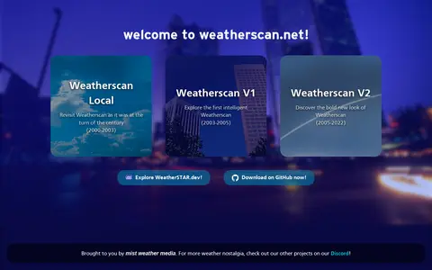
WeatherScan is a miscellaneous web resource for discovery, directories, archives, web culture, or useful tools.

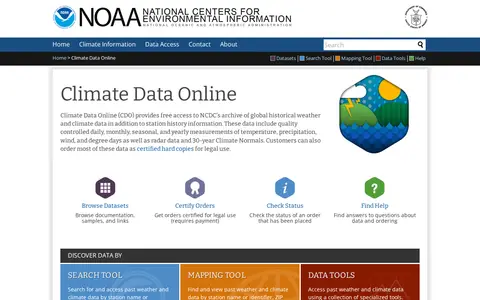
Climate Data Online is a service of the National Climatic Data Center providing free access to an archive of global historical weather and climate data and station history information. Its data include quality controlled daily, monthly, seasonal and yearly measurements of temperature, precipitation, wind and degree days, plus radar data and 30-year Climate Normals. Data can be viewed online or ordered for delivery by email.

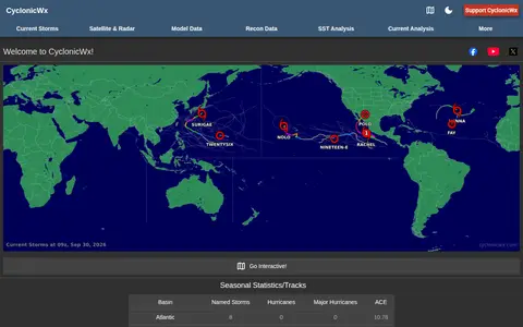
CyclonicWx offers plots and tropical weather tracking tools from Alex Boreham. The site presents seasonal statistics and tracks, accumulated cyclone energy, current storms, satellite and radar, model and recon data, sea surface temperature analysis and current analysis.

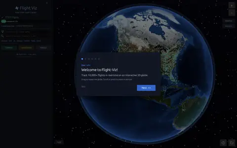
Flight Viz is a free real-time flight tracker that displays live flights on an interactive 3D globe. Users can search a flight number to find it on the map, check airport departure and arrival boards, view weather radar overlays, and see flight details such as aircraft type, route, speed, altitude and delay status. No login is required.

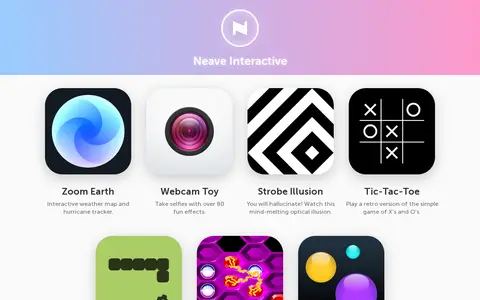
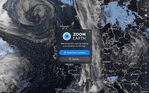
Neave Interactive offers a collection of browser-based apps. These include Zoom Earth, an interactive weather map and hurricane tracker, and Webcam Toy for taking selfies with over 80 effects. The site also lists small games and toys such as Strobe Illusion, Tic-Tac-Toe, Snake, Hexxagon and Bouncy Balls.

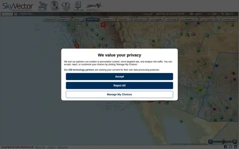
SkyVector is a free online flight planner founded in 2006. It offers aeronautical charts including Sectional Charts, Approach Plates, IFR Enroute Charts and Helicopter route charts, with weather data and fuel prices. Users can add their own fuel prices by sending CSV price lists to a personal email address after signing in.

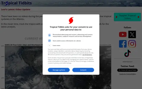
Tropical Tidbits provides tropical weather and Atlantic hurricane information, analysis and forecasts, presented by Levi Cowan. The site includes sections for current storms, aircraft reconnaissance, satellite imagery, forecast models and analysis tools.

TWC Classics is a fan site devoted to The Weather Channel, created in summer 1997. It collects audio, video, images and information about the channel's history and its local forecast music, and states that it is not an official site.

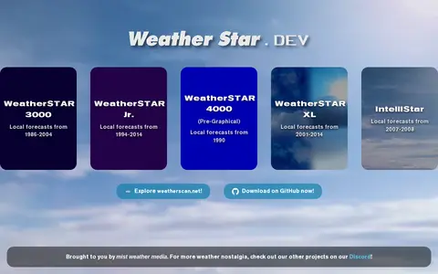
WeatherSTAR simulators curated by Mist Weather Media, recreating local forecast systems from past years. Listed simulators include WeatherSTAR 3000 (1986-2004), WeatherSTAR Jr. (1994-2014), WeatherSTAR 4000 Pre-Graphical (1990), WeatherSTAR XL (2001-2014) and IntelliStar (2007-2008).

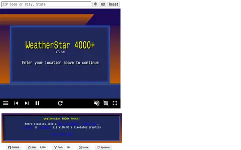
Web-based simulator of the WeatherStar 4000 that reports current and forecast weather conditions plus a few extras. Users enter a location to view displays such as current conditions, hourly and extended forecasts, local radar and almanac data. The page lists version 8.0.1.

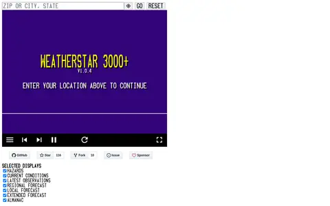
WeatherStar 3000+ is a web-based WeatherStar 3000 simulator that reports current and forecast weather conditions plus a few extras, according to its page. It takes a location entry and shows current conditions, forecasts and settings displays.

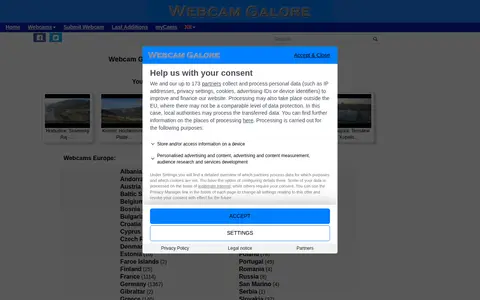
WebcamGalore is a directory of worldwide weather webcams. It offers access to thousands of webcam feeds, previews, and archive images from global locations. Webcams are organized by region, including Europe, North America, South America, Central America and the Caribbean, Africa, Asia, Australia and Oceania, and the Antarctic and North Pole. Additional categories cover webcams on cruise ships, specialty sites, and Earth orbit.

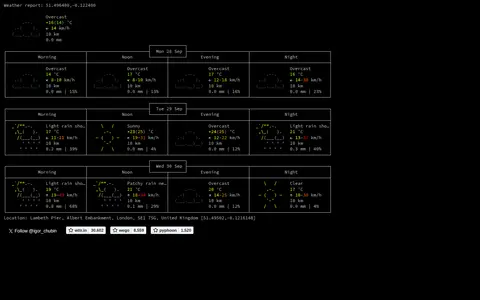
View weather forecasts as text.

Zoom Earth is an interactive weather map of the world showing rain, wind, temperature and pressure, with forecasts for a selected location. It also offers satellite imagery, rain radar updated in near real time, hurricane and storm tracking, and wildfire and smoke monitoring. Mobile apps are available for iPhone, iPad and Android.