
wunderground.com
Weather Underground archive for checking historical weather, station data, and past conditions.
Directory
Published directory entries matching your search.
Weather Underground archive for checking historical weather, station data, and past conditions.

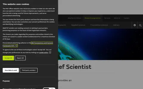
Met Office is the UK's national weather and climate service. Its research activities span weather science, climate research, applied science and foundation science. The organisation provides public access to weather forecasts, UK weather warnings, maps and charts for the UK and other global regions, climate change explanatory content, specialist forecasts for coastal, mountain and space weather, and educational resources for schools, alongside dedicated weather and climate research programmes.

Timeanddate weather page for checking temperatures, forecasts, and conditions by city.

Weather service for forecasts, radar, alerts, hourly conditions, and local weather updates.

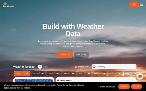
Weather data platform offering forecasts, current conditions, maps, and weather APIs.
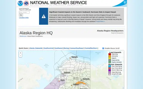
The Alaska Region Headquarters of the National Weather Service provides regional weather forecasts and warnings. The page links to forecast offices in Anchorage, Fairbanks and Juneau, plus information on sea ice, marine weather, fire weather, aviation forecasts, river forecasts and tsunami information from the National Tsunami Warning Center. It also lists current hazards, observations, radar and climate data.
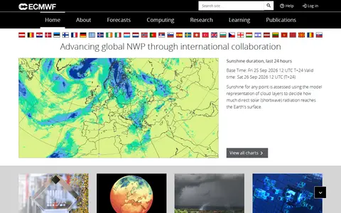
ECMWF is the European Centre for Medium-Range Weather Forecasts, operating as both a research institute and a 24/7 operational service. It produces global numerical weather predictions and other data for its Member and Co-operating States and the broader community. The Centre maintains one of the largest supercomputer facilities and meteorological data archives in the world, and offers help and support resources.

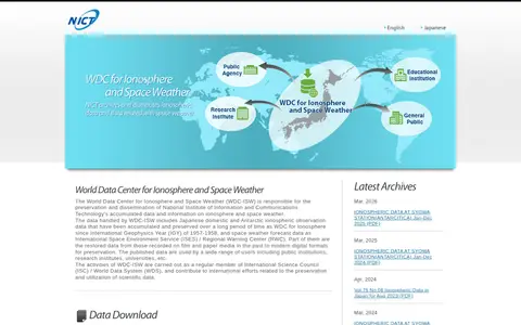
The World Data Center for Ionosphere and Space Weather, operated by NICT, preserves and distributes ionospheric and space weather data. Its holdings include Japanese and Antarctic ionospheric observations dating from 1957-1958 and space weather forecast data. Data is offered through monthly and yearly reports, ionosonde data, handwritten records, a historical viewer and a solar flare database.

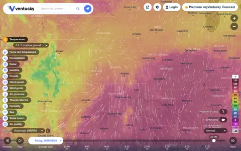
Ventusky provides live weather maps showing wind, rain, radar and temperature, with over 50 weather layers and detailed forecasts. Data comes from weather forecast models including ECMWF, GFS, ICON and GEM.

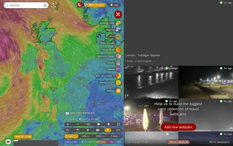
Windy Webcams is a service that provides worldwide animated weather maps, wind and wave forecasts, weather radar, satellite imagery, and aviation weather data including METAR, TAF and NOTAM reports for various user groups.

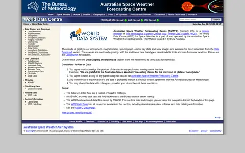
The World Data Centre for Space Weather is part of and operated by the Australian Space Weather Forecasting Centre and is located in Sydney, Australia. It offers ionospheric, magnetometer, spectrograph, cosmic ray data and solar images for direct download, and provides software and data catalogue information. Commercial or industrial use of the data is prohibited without a previous written agreement.

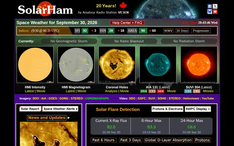
SolarHam is a space weather and aurora website founded in 2006. It provides real time data and new updates, including solar indices, imagery, flare probabilities and geomagnetic forecasts. Its help center explains space weather terms such as coronal holes, coronal mass ejections and geomagnetic storms, and notes that the section is being built.

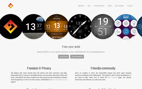
AsteroidOS is an open-source Linux distribution for smartwatches, created in 2015. It provides an agenda, alarm clock, calculator, music controller, stopwatch, timer and weather forecast app, and states up to 48 hours of autonomy. It is built on Qt, QML, OpenEmbedded and libhybris.

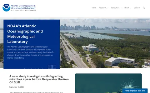
The Atlantic Oceanographic and Meteorological Laboratory (AOML) is a U.S. National Oceanic and Atmospheric Administration (NOAA) laboratory. Its research portfolio covers ocean, coastal, and atmospheric studies to prepare the nation for changes driven by weather, climate, and pressures on marine ecosystems. The lab is organized into divisions including Hurricane Research, Ocean Chemistry & Ecosystems, and Physical Oceanography, and its work supports improved hurricane forecasting and coastal ecosystem management.

The Community Coordinated Modeling Center is a multi-agency partnership at NASA Goddard Space Flight Center that supports research and development for space science and space weather models. It provides free access to research models through an automated model run system, along with online visualization and analysis tools, model validation, forecasting support, and education resources.

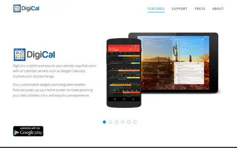
DigiCal is a calendar app that syncs with calendar servers such as Google Calendar, Outlook.com and Exchange. It offers multiple calendar views, customizable widgets, calendar subscriptions and an integrated weather forecast, with a free and premium subscription. DigiCal+ unlocks additional widget types and full calendar and widget customization.

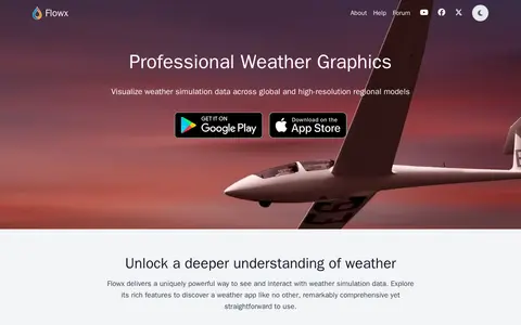
Flowx is a weather app with offline access to GFS, GDPS, ECMWF, ICON, HRRR, NAM and other regional models. It offers swipe animations, model comparison on maps and graphs, and specialized data including radar, air quality and marine forecasts. The app reports no ads and no tracking, and is available for iOS and Android.

In-The-Sky.org provides astronomy news and interactive guides to the night sky. The site offers a planetarium, sky guide, weather forecast, object search and catalogs, an orrery and 3D universe views. It also lists events such as oppositions, occultations and meteor showers, with rise and set times shown for a selected location.
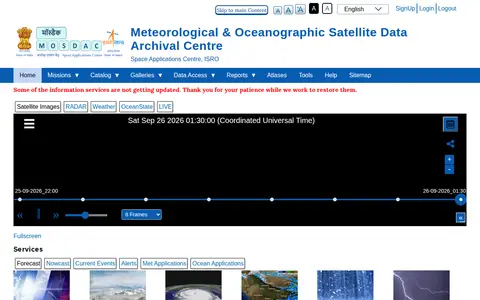
The Meteorological & Oceanographic Satellite Data Archival Centre (MOSDAC) is a data centre operated by the Space Applications Centre (SAC) of the Indian Space Research Organisation. It handles the reception, processing, analysis and dissemination of meteorological and oceanographic satellite data. The centre provides public access to satellite and in-situ datasets, weather and ocean forecasts, radar products, and data related to atmospheric conditions, soil moisture, sea surface salinity, ocean currents and other relevant geophysical parameters.

Online world map service offering a satellite view of the Earth with labels, a ruler, place sharing, search and locating. It also lists route planning, state boundary tracking, city lists for each state and weather forecast.
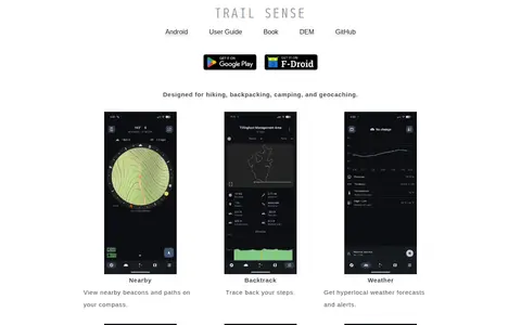
Trail Sense is an offline Android application designed for hiking, backpacking, camping, and geocaching. It offers tools including nearby beacon and path viewing, step backtracking, hyperlocal weather forecasts and alerts, sun and moon position tracking, photo-based offline maps, flashlight, clinometer, and packing lists. No user data is transmitted from the device, and the app does not require internet connectivity. It is distributed under the MIT License, and its developers state it is for informational purposes only and should not be relied on as a sole resource for survival activities.

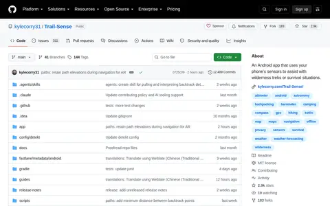
Trail Sense is an open-source Android application that uses a phone's built-in sensors to assist with wilderness treks and survival situations. It is designed for fully offline use, and includes tools for hiking, camping, navigation, weather forecasting, and survival support.

Tropical Tidbits provides tropical weather and Atlantic hurricane information, analysis and forecasts, presented by Levi Cowan. The site includes sections for current storms, aircraft reconnaissance, satellite imagery, forecast models and analysis tools.

TWC Classics is a fan site devoted to The Weather Channel, created in summer 1997. It collects audio, video, images and information about the channel's history and its local forecast music, and states that it is not an official site.