Directory

Search results

Published directory entries matching your search.

Search results

137 listings
waterdata.usgs.gov

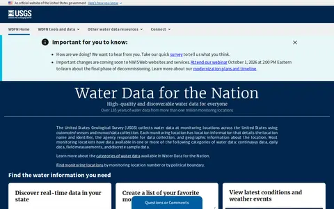
USGS Water Data for the Nation is an official United States government water data portal. It provides access to real-time and over 135 years of historical water data, tools to save favorite monitoring locations, create water alerts, and programmatic access to data via APIs. Users can explore water conditions, latest weather events, and related water resources information through the platform.
Dataset & Data Search 0
madebyevan.com

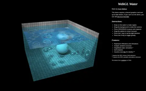
WebGL Water is a browser demo by Evan Wallace that renders water with raytraced reflections and refractions, an analytic ambient occlusion, a heightfield water simulation, soft shadows and caustics. Users can draw on the water to make ripples, drag the background to rotate the camera, and press keys to pause or change light direction and gravity. It requires a decent graphics card and up-to-date drivers.

Science & Mathematics 0
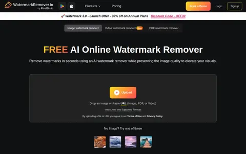
aiwatermarkremover.io

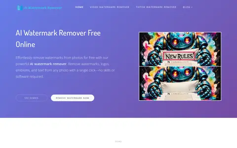
AI Watermark Remover is a free online tool that removes watermarks, logos, emblems and text from photos with a single click. Processing can be automatic or manual with brush-based selection, and the tool does not add new watermarks. Batch watermark removal, video watermark removal, automatic text detection and a multi-platform video downloader are listed as coming soon.

AI Image Generation 0
gwfnet.net

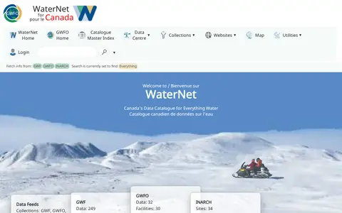
GWFNet, operating as WaterNet, is Canada's national information resource for water data. It hosts a catalogue of water data, publications and observatories, with features to search for data by variable or site, view near-realtime telemetry, and access collections from initiatives including the Global Water Futures Observatories, Changing Cold Regions Network and other related water research programs.

Dataset & Data Search 0
indiawaterportal.org

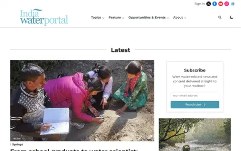
India Water Portal is a website covering water conservation, management, and sustainability in India. It publishes articles and FAQs on topics including water quality and pollution, disasters, governance and policy, agriculture, climate, rivers and lakes, ecology, and people and culture. The site also offers a Hindi portal and a data section.

Dataset & Data Search 0
uwaterloo.ca

University of Waterloo down in Waterloo, Canada is worth it if you're into Mathematics, Computer Science and Engineering.

Universities 0

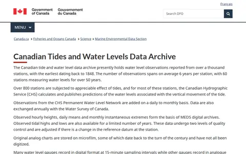
The Canadian Tides and Water Levels Data Archive holds water level observations from over a thousand stations, the earliest dating from 1848. It includes hourly heights, daily means and monthly extremes, with predictions published for most tidal stations. Data are quality controlled and adjusted for datum changes; 15-minute data are not generally released.

Dataset & Data Search 0
joshdata.me

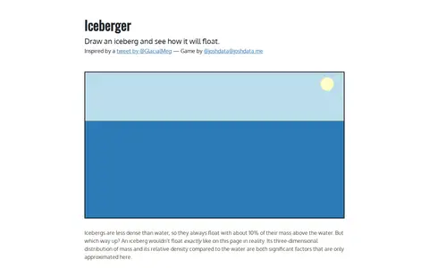
Iceberger is an interactive web tool that allows users to draw an iceberg to visualize how it will float. It notes that icebergs are less dense than water, so approximately 10% of their mass sits above the water surface. The tool approximates flotation behavior, as real-world iceberg floating is also influenced by three-dimensional mass distribution and relative density to water. The project was inspired by a 2021 tweet from @GlacialMeg advocating for scientists to draw icebergs in their stable orientations.

Fun & Interesting 0
greasyfork.org

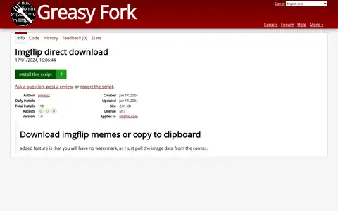
Remove Watermarks is a userscript page for adding browser features, interface tweaks, or automation to websites.

Image Editing & Design 0
Preview unavailable
watercolourworld.org

The Watercolour World is a storage, design, or frontend resource for mockups, assets, UI tools, or web search.

Design Assets & Inspiration 0
waterqualitydata.us

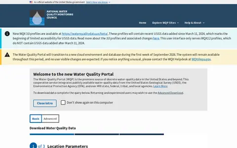
The Water Quality Portal is a cooperative service that integrates publicly available water-quality data from the United States Geological Survey, the Environmental Protection Agency, and over 400 state, federal, tribal, and local agencies. Users can download data by completing a basic query or using an advanced download option.

Dataset & Data Search 0
watercss.kognise.dev

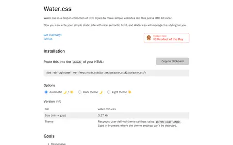
Water.css is a drop-in collection of CSS styles that styles semantic HTML for simple static websites, requiring no classes. It aims for small size, good code quality, and browser support, and is responsive when the viewport tag is added. A bookmarklet can replace styles on other sites.

Web Development 0
watermarkremover.io

Watermark Remover helps edit, convert, generate, search, or organize images and visual assets.

Image Tools & Resources 0
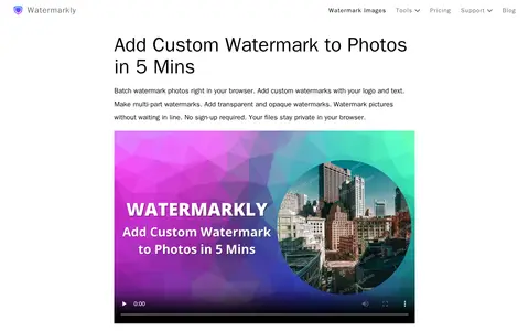
watermarkly.com

Watermarkly helps edit, convert, generate, search, or organize images and visual assets.

Image Tools & Resources 0
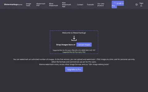
watermarkup.com

Watermarkup helps edit, convert, generate, search, or organize images and visual assets.

Image Tools & Resources 0
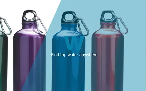
bluew.org

BlueW is a map of free water bottle refill locations. Users look for the blueW.org window decal at listed locations to refill reusable water bottles. The site also invites users to add refill locations to the map.

Maps & Navigation 0
canwin-datahub.ad.umanitoba.ca

CanWIN is the data centre for the Centre for Earth Observation Science at the University of Manitoba. The repository holds datasets, projects and publications on watershed, freshwater, marine and atmospheric topics, searchable by theme or map, and supports data discovery, submission and download.

Dataset & Data Search 0
data.cbwaterhub.ca

The Columbia Basin Water Hub is a data platform holding 452 datasets from 55 organizations across 12 collections. Data come from many sources and are shared under licences such as Creative Commons and the Open Government Licence. The hub team conducts a preliminary quality assurance and quality control protocol and assigns a Data Grade to each resource. Users are directed to each dataset's metadata and licence before use.

Dataset & Data Search 0
cuahsi.org

CUAHSI is a nonprofit research organization representing over 130 U.S. universities and international water science organizations, supported by the National Science Foundation to develop infrastructure and services for water science. Its data services include HydroShare, an online collaboration environment for sharing data, models, and code, and a Hydrologic Information System for finding, downloading, and visualizing data.

Dataset & Data Search 0

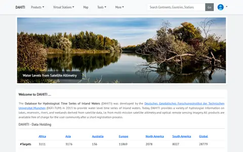
The Database for Hydrological Time Series of Inland Waters (DAHITI) was developed in 2013 by DGFI-TUM. It provides hydrological information on lakes, reservoirs, rivers and wetlands derived from satellite altimetry and optical remote sensing imagery. Products are available free of charge after a short registration process.

Dataset & Data Search 0
datastream.org

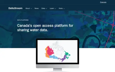
DataStream is an open access platform for sharing water and sediment quality data. It offers map-based search, interactive visualizations, standardized machine-readable datasets, dataset versioning, digital object identifiers, embargo periods and API access for integrating data with other websites and tools. A one-click charting tool allows comparison of results with national water quality guidelines.

Dataset & Data Search 0
Preview unavailable
dialogue.earth

Independent environmental newsroom covering climate, water, biodiversity and development across Asia and the world.

Science & Environment News 0
github.com

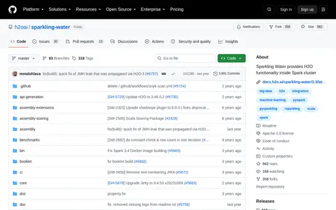
H2O Sparkling Water is an open-source GitHub repository maintained by the h2oai organization. It provides H2O machine learning functionality that can run inside Apache Spark clusters. The repository includes getting started guides, user documentation, binary download options, and resources for testing the tool.

AI Education & Learning 0