
onemilliontweetmap.com
Interactive map showing geotagged tweets around the world for location-based social media research.
Directory
Published directory entries matching your search.
Interactive map showing geotagged tweets around the world for location-based social media research.
Interactive demo for exploring geotagged tweets and social activity on a map.
Universidade Eduardo Mondlane, Maputo, Mozambique, is the move for Social Sciences, Environmental Science and Agricultural and Biological Sciences.

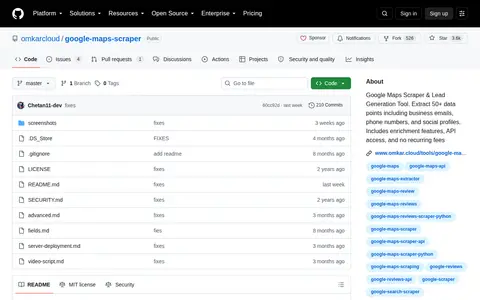
Google Maps Scraper & Lead Generation Tool. Extract 50+ data points including business emails, phone numbers, and social profiles. Includes enrichment features, API access, and no recurring fees

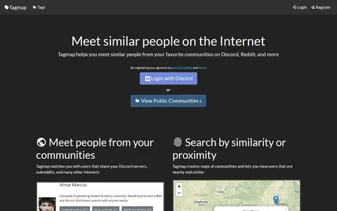
Tagmap creates interactive maps of internet communities such as Reddit and Discord to help users meet similar people. It matches users who share servers, subreddits and interests, and offers search by similarity or proximity, user messaging and notifications, and privacy controls. Users can set their own location and choose who can see their profile. New maps can be created and are free.

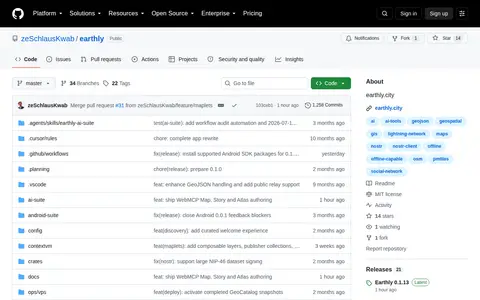
) - A social geojson editor with maps on Nostr
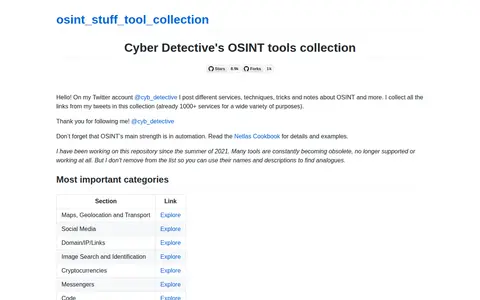
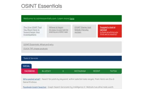
Cipher387's large OSINT tool collection covering social media, domains, people, maps, and more.

Social account sharing live radio, scanner, or incident-related updates and public monitoring links.

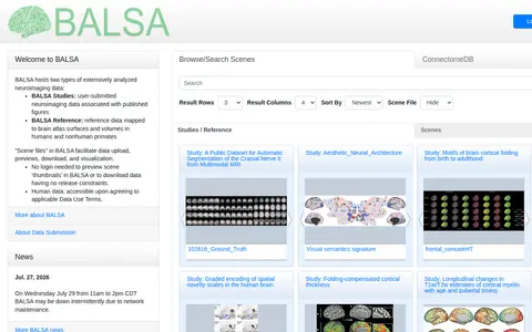
BALSA hosts extensively analyzed neuroimaging and neuroanatomical datasets mapped to brain atlas surfaces and volumes. It holds user-submitted BALSA Studies tied to published figures and curated BALSA Reference datasets, with scene files displayable in the Connectome Workbench platform. Study and reference datasets can contain several scene files with multiple scenes. Previews of scene thumbnails and downloads without release constraints do not require login.
The City of Peterborough Open Data Portal is the central hub for the city's GIS Open Data. It provides access to GIS datasets, printed maps, web mapping applications, and GIS applications.
Edmonton Open Data is the City of Edmonton's open data portal. It maintains a wide range of data, APIs, interactive charts and maps used by city departments, residents, the general public, government and non-government agencies and online GIS user communities.

FireAlpaca is free digital painting software for Windows and Mac, available in 10 languages. It offers customizable brushes, weekly original brushes, five brush textures, and post-drawing line adjustment, along with tools such as frame work, animation, gradient map, and 3D perspective grid.

Archive of the PASCAL and FRANCIS bibliographic databases in exact, human and social sciences, produced by Inist-CNRS between 1972 and 2015. It provides access to more than 20 million references, including articles, patents, maps, conferences, books, reports and theses. Full-text access is offered where possible.
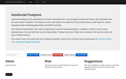
GeoSocial Footprint is an educational demonstration site that lets Twitter users view the location information they disclose and highlights potential areas of concern with their sharing habits. It retrieves public tweets and analyzes them to calculate a geosocial risk, then offers suggestions for reducing a user's geosocial footprint.

Personal page of Hakan Kardes, a principal scientist whose listed research interests include big data, record linkage, data mining, graph theory, social networks and Internet measurements. The page lists publications on topics such as connected component computation in MapReduce, address parsing and organization entity resolution.

A free collection of search tools from IntelTechniques, described as a supplement to the book OSINT Techniques, 11th Edition. It links to query categories including search engines, social networks, email addresses, usernames, names, addresses, telephone numbers, maps, documents, images, videos, domains, and IP addresses. Queries run in the user's own browser.
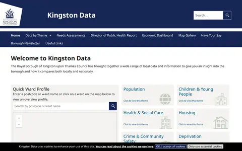
Kingston Data is a site from the Royal Borough of Kingston upon Thames Council that gathers local data and information for insight into the borough and comparisons locally and nationally. It offers a ward profile search by postcode or ward name or map click, plus themes including population, children and young people, health and social care, housing, crime and community safety, deprivation, economy and employment, and environment.

An online community archive established in 2003 to celebrate Greater Manchester music and its social history. It provides browse and A-Z archive sections, online exhibitions, and a login and upload area. Projects include digitised Piccadilly Radio tapes, audio maps, and a research lab.
Open Data Portal - City of Kelowna is the municipal open data portal for the City of Kelowna. It provides access to local municipal open data, maps, applications and stories. Users can download City of Kelowna GIS data, build applications using available resources, and participate in efforts to solve local community issues.
Curated OSINT toolkit with links for people search, social media, maps, domains, and research.

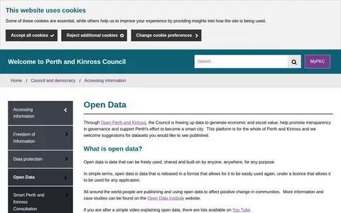
The Perth & Kinross Council Open Data portal, through Open Perth and Kinross, publishes council data as open data. The council states it is freeing up data to generate economic and social value, promote transparency in governance and support Perth's effort to become a smart city. The platform covers the whole of Perth and Kinross, offers maps and graph visualisation tools, and welcomes suggestions for datasets.

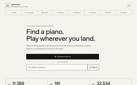
Pianos.pub is a community map that catalogs street and public pianos worldwide. It lists exact locations, photos, sightings and availability reports, and combines public datasets, historic social posts, personal knowledge and user contributions. Every piano keeps a history of sightings, comments and availability reports, and users can submit missing instruments.

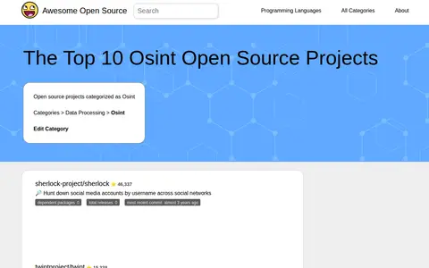
Awesome Open Source lists open source projects categorized as OSINT alongside repository details. Entries include Sherlock for hunting social media accounts by username, Twint for Twitter scraping, Amass for attack surface mapping and asset discovery, and SpiderFoot, which automates OSINT for threat intelligence. Each entry shows dependent packages, total releases and most recent commit information.
Twiangulate is a tool for search, analytics and mapping of connections between Twitter friends and followers. It is used to find which accounts are followed by key people and to see which accounts are most followed by members of a group. The site also points to a sister site, skyangles.com, for analyzing Bluesky's local networks.