
github.com
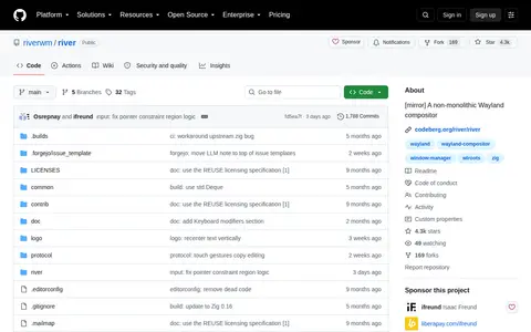
river is an open source Linux, macOS, or Unix resource with code, tools, or setup notes.
Directory
Published directory entries matching your search.
river is an open source Linux, macOS, or Unix resource with code, tools, or setup notes.
Block explorer for River, showing transactions, blocks, addresses, tokens, and network activity.
Block explorer for River, showing transactions, blocks, addresses, tokens, and network activity.
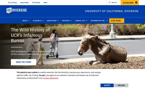
University of California, Riverside up in Riverside, United States is strong in Agricultural and Biological Sciences, Engineering and Chemistry.

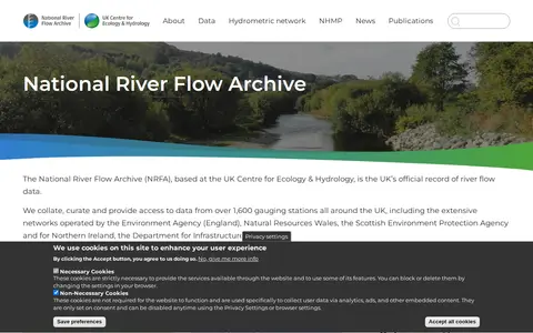
The National River Flow Archive is based at the UK Centre for Ecology & Hydrology and describes itself as the UK's official record of river flow data. It collates and provides access to data from over 1,600 gauging stations across the UK, with some records going back to the nineteenth century. Data are used to assess water availability and climate change impacts.

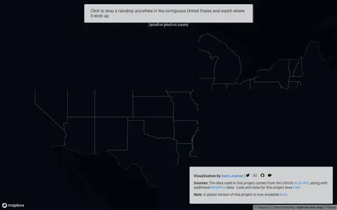
River Runner is a miscellaneous web resource for discovery, directories, archives, web culture, or useful tools.
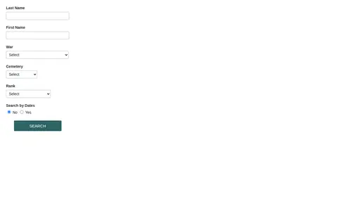
Veterans grave registration database for Wisconsin Fox River area burial and service records.
An ArcGIS Hub open data portal from Ottawa Riverkeeper for discovering, analyzing and downloading data. Data can be downloaded in CSV, KML, Zip, GeoJSON, GeoTIFF or PNG, and API links are provided for GeoServices, WMS and WFS. Analysis is available through charts and thematic maps, with options to create StoryMaps and Web Maps.

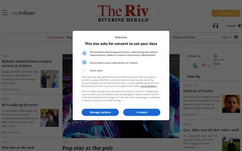
Riverine Herald publishes newspaper reporting, headlines and current-affairs coverage in Australia.

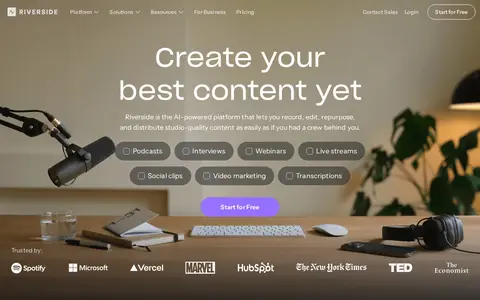
Riverside.fm is an AI-powered online studio for high-quality podcast and video recording and editing. It provides end-to-end content creation tools covering recording, editing, repurposing, streaming, and publishing for content creators.

The Newcastle Chronicle and Hunter River District News publishes newspaper reporting, headlines and current-affairs coverage in Australia.

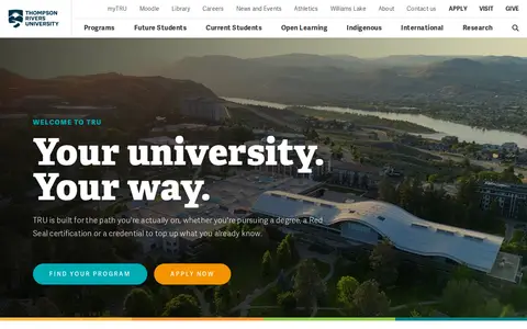
Thompson Rivers University (Kamloops, Canada) is the move for Environmental Science, Social Sciences and Arts and Humanities.
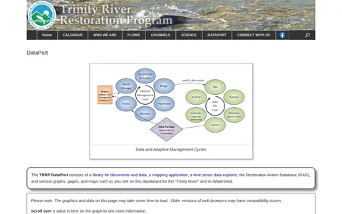
The TRRP DataPort is a library for documents and data, a mapping application, a time series data explorer, and the Restoration Action Database. It includes graphs, gages and maps for the Trinity River and its watershed.

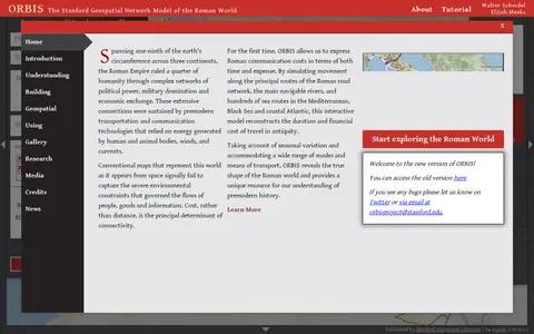
ORBIS is the Stanford Geospatial Network Model of the Roman World, published by Stanford University Libraries, with authors Walter Scheidel and Elijah Meeks. It presents a route and network interface with options for origin and destination, departure month or season, and priority such as fastest, cheapest or shortest, across road, river and sea modes.

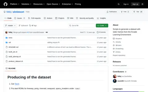
Scripts to generate a dataset with static frames from the Arcade Learning Environment. Instructions cover getting Torch, placing supported Atari ROMs (freeway, pong, riverraid, seaquest, space_invaders), building the environment and Lua wrapper, and producing frames.

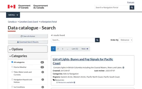
The Canadian Coast Guard Data Catalogue is part of the CCG e-Navigation portal. It provides access to navigation-related datasets and resources, with 41 listed results including the List of Lights, Buoys and Fog Signals for Pacific Coast, which covers aids to navigation in British Columbia’s coastal waters, rivers, and lakes.
CruiseMapper offers free cruise tracking, showing current ship positions, along with itinerary schedules, deck plans, cabin information, and reports on cruise accidents and incidents. It also publishes cruise news and covers a wide range of cruise lines and river cruises.

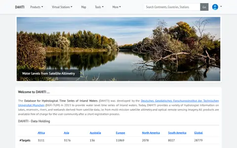
The Database for Hydrological Time Series of Inland Waters (DAHITI) was developed in 2013 by DGFI-TUM. It provides hydrological information on lakes, reservoirs, rivers and wetlands derived from satellite altimetry and optical remote sensing imagery. Products are available free of charge after a short registration process.

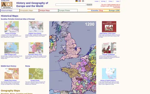
Euratlas offers a historical atlas of Europe and geography maps, including maps of mountains, rivers, cities and countries, about 2000 pictures of towns and landscapes, antique digitized maps, digital vector maps and educational software. It presents a sequence of 21 maps showing European states at the end of each century from 1 to 2000.
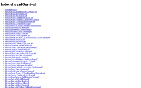
ExploreMarMaris hosts a directory of survival-related PDF guides on its website. The listed documents cover a range of outdoor and everyday emergency scenarios, including lightning strike avoidance, dehydration prevention, snow shelter construction, catching fish without a rod, and crossing piranha-infested rivers.

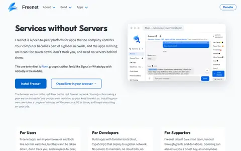
Freenet is a peer-to-peer platform for apps that no company controls. Apps run in the browser and need no servers behind them, and the project lists River, a group chat app, as a starting point. It offers a browser version and installation of a peer on Windows, macOS or Linux. Freenet is built by a small team funded through grants and donations.

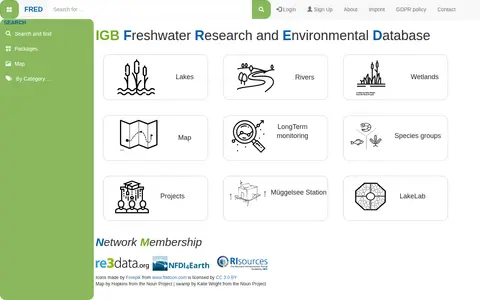
FRED (Freshwater Research and Environmental Database) is a data repository focused on freshwater research. It provides access to datasets related to lakes, rivers, wetlands, long-term monitoring, and species groups. Users can search by categories, view maps of study sites, sampling locations, parameters, and access project information and DOIs.

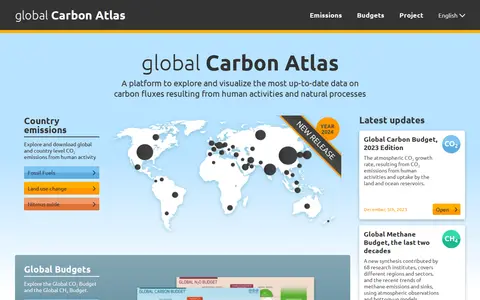
The Global Carbon Atlas is a platform for exploring and visualizing data on carbon fluxes from human activities and natural processes. It offers country-level CO₂ emissions data for fossil fuels and land use change, plus global budgets for carbon, methane and nitrous oxide, and material on city emissions and river carbon transport.

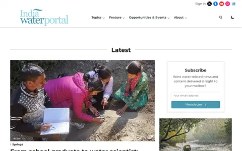
India Water Portal is a website covering water conservation, management, and sustainability in India. It publishes articles and FAQs on topics including water quality and pollution, disasters, governance and policy, agriculture, climate, rivers and lakes, ecology, and people and culture. The site also offers a Hindi portal and a data section.