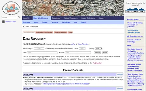
A data repository from the New Mexico Bureau of Geology & Mineral Resources that supplements published papers in its publications. Datasets can be found by searching or browsing listings by author or year and number. The page states that both the published material and repository documentation should be consulted before using the data.

Directory
Search results
Published directory entries matching your search.
Browse research datasets and datasets related to geology and palaeontology.
Dataset repository covering geology and palaeontology, with searchable datasets.
Dataset repository covering geology and palaeontology, with searchable dataset.
Earth and space science publication covering climate, geology, oceans, research and scientific policy.
Find digitized publications and collection items through an online library.
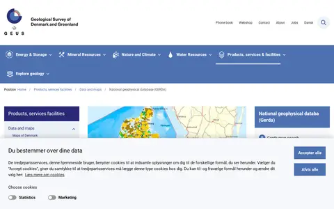
GERDA is the national geophysical database for surface-near geophysics. It provides information about its stored data, supported exchange formats, and options for data download and upload. The database covers geoscience topics including deep and shallow geothermal energy, reservoir characterisation, hydropower, seismology, marine-physical planning, oil and gas, economic geology, and Greenland's mineral resources.
Find and access geology research data, with indexed geospatial data.
Find and access geology and palaeontology research data, with indexed datasets.
Research data portal for exploring geology records, including geospatial data.
Searchable repository for finding geology and palaeontology datasets and geospatial data.
Searchable repository for finding geology and palaeontology datasets and text.
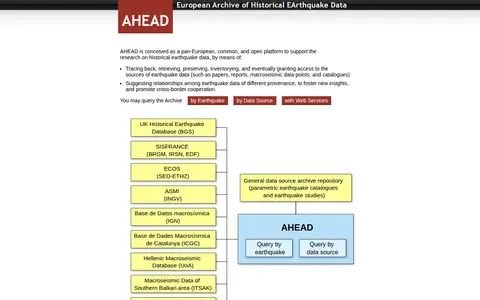
AHEAD is a pan-European, open platform for research on historical earthquake data. It traces, retrieves, preserves, inventories and grants access to earthquake data sources such as papers, reports, macroseismic data points and catalogues, and suggests relationships among data of different provenance. The archive can be queried by earthquake or by data source, and its services are integrated in the EPOS Data Portal.
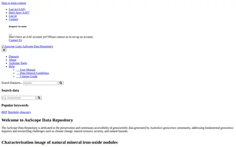
The AuScope Data Repository preserves and provides continuous access to geoscientific data generated by Australia's geoscience community. It addresses fundamental geoscience questions and challenges such as climate change, natural resource security, and natural hazards. The site lists collections including iron-oxide nodule characterisation images, Victorian multi-element geochemistry samples, and Calperum ground temperature data.
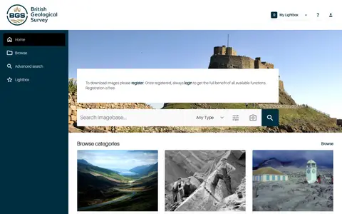
BGS GeoScenic is the home page of the BGS GeoScience Imagebase Asset Bank. It enables users to search the geoscience image archive, perform visual similarity searches for images, browse categorized assets, access promoted and recently added content, and manage a personal lightbox of saved items. The platform supports advanced search functionality for digital assets.
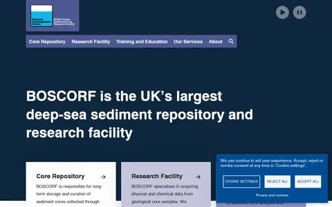
BOSCORF is described as the UK's largest deep-sea sediment repository and research facility, part of the National Oceanography Centre. It stores and curates sediment cores from UKRI-NERC research programmes, promotes secondary use of core samples and related data, and acquires physical and chemical data from geological cores via non-destructive analysis and imaging systems. It also offers training in core analysis and logging.
The British Geological Survey (BGS) is a geoscience organization focused on understanding the Earth. It delivers research, data, and services including the National Geoscience Data Centre, public geology resources, climate change and geohazard information, and geospatial data products for public, business, and academic users.
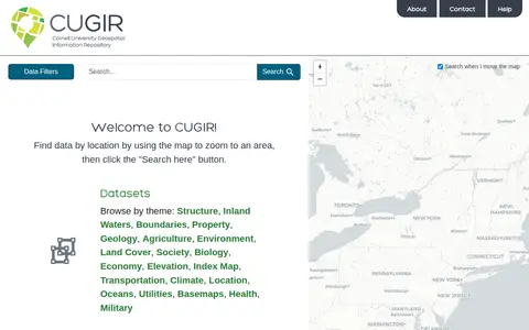
CUGIR is a repository offering datasets and scanned maps. Datasets can be browsed by theme or found by zooming a map to an area and clicking a search button. Themes include boundaries, geology, agriculture, land cover, transportation, climate and elevation. The scanned maps section provides access to all map holdings.
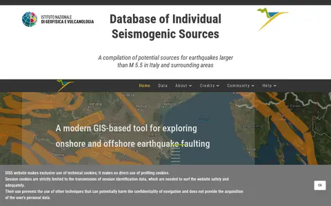
DISS is a georeferenced repository of tectonic, fault and paleoseismological information designed for potential applications in regional and national seismic hazard assessment. It compiles potential earthquake sources larger than magnitude 5.5 in Italy and surrounding areas, and functions as a GIS-based tool for exploring onshore and offshore earthquake faulting. The freely accessible, periodically updated database includes four categories of seismogenic sources with different parameterizations, supports ground-shaking and tsunami hazard applications, and contains over 4000 bibliographic references, more than 1200 images and nearly 1000 equivalent pages of original documentation on seismogenic sources. Its current version is 3.3.1.
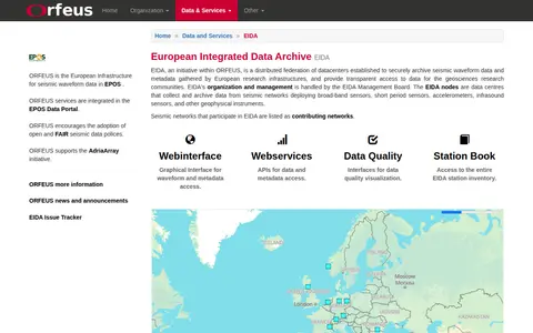
EIDA (European Integrated Data Archive) is an initiative within ORFEUS, the European infrastructure for seismic waveform data integrated into the EPOS Data Portal. It is a distributed federation of data centers that securely archives seismic waveform data and metadata collected by European research infrastructures, and provides transparent access to these resources for geosciences research communities. Organization and management of EIDA are handled by the EIDA Management Board.
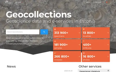
Web portal for geoscience data from Estonia. It provides direct search capabilities to the SARV information system and links to other data sources, and lists related services including geoscience literature, fossils, minerals and rocks, and geological survey reports.
Research data portal for exploring geology records, including geospatial data.

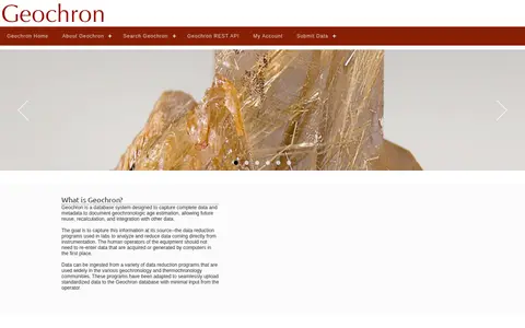
Geochron is a database system for capturing data and metadata documenting geochronologic age estimation, enabling future reuse, recalculation and integration. Data can be ingested from data reduction programs used in geochronology and thermochronology communities, which are adapted to upload standardized data to the database. A REST search service accepts GET variables such as geographic bounds, ages, analysis method, material, rock type and laboratory.
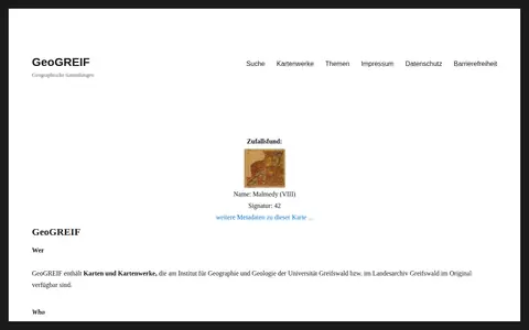
GeoGREIF is a digital collection of maps and map works held in original form at the Institute for Geography and Geology of the University of Greifswald and the Greifswald State Archive. Each recorded map carries Dublin Core metadata to aid discovery, and maps are arranged thematically in collections that institute staff continue to expand.