usgs.gov
USGS Maps is a miscellaneous web resource for discovery, directories, archives, web culture, or useful tools.
Directory
Published directory entries matching your search.
USGS Maps is a miscellaneous web resource for discovery, directories, archives, web culture, or useful tools.

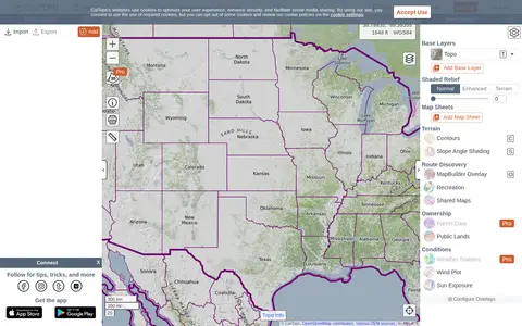
CalTopo is a backcountry mapping tool offering trip planning tools and topographic maps, including USGS and USFS topos and aerial imagery. It supports printing to geospatial PDFs, exporting to KMZ and MBTiles, elevation profiles and terrain analysis, and finding shared maps from other users.

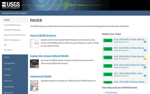
The PAGER system is part of the USGS Earthquake Hazards Program and provides fatality and economic loss impact estimates after significant earthquakes worldwide. The page links to maps and lists of PAGER events from the past 24 hours, 7 days and 30 days, and to an archive search that defaults to events with PAGER products from the past 30 days, refinable by the user.

SpaceFromSpace is an archive of satellite imagery that includes declassified Cold War reconnaissance photographs and modern spaceport views. Images are stitched and georeferenced from raw USGS datasets and presented on interactive maps, with galleries covering declassified, spaceport and recently added scenes.