
apps.esri.ca
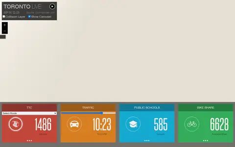
Esri map showing Toronto live layers, city activity, services, and local geographic data.
Directory
Published directory entries matching your search.
Esri map showing Toronto live layers, city activity, services, and local geographic data.

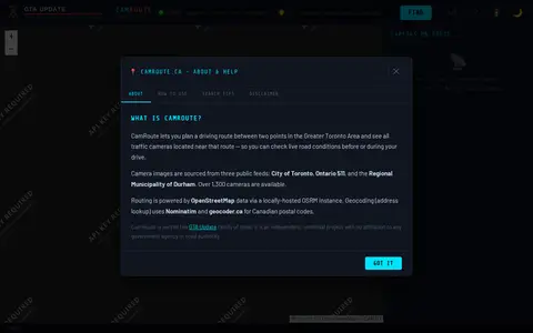
CamRoute is a tool for planning a driving route in the Greater Toronto Area and viewing traffic cameras near that route. It draws on over 1,300 cameras from the City of Toronto, Ontario 511, and Durham Region, with routing powered by OpenStreetMap data. It is described as an independent, unofficial project.

Live Toronto police calls dashboard showing public incident categories and map-based activity.

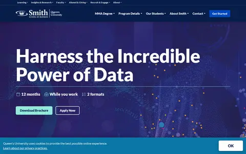
The Master of Management Analytics at Smith School of Business, Queen's University, combines data analytics training with business strategy and management education. It is offered in a live classroom format in downtown Toronto and a blended format with online learning and live remote instruction, and includes two one-week on-site sessions.