tangrams.github.io
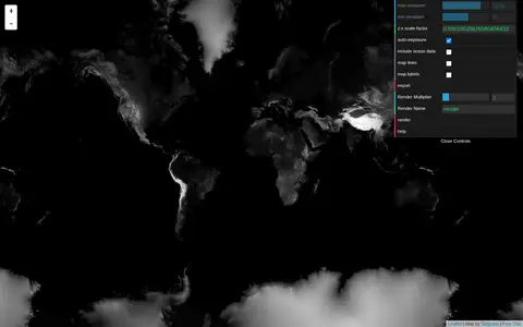
Tangram Heightmapper is an elevation data browser that auto-exposes the display so the highest and lowest visible elevations are white and black, producing a grayscale heightmap. The image can be exported and imported as a displacement map in 3D applications. Auto-expose can be unchecked to set minimum and maximum height levels manually.