
Directory

Search results

Published directory entries matching your search.

Search results

14 listings
pudding.cool

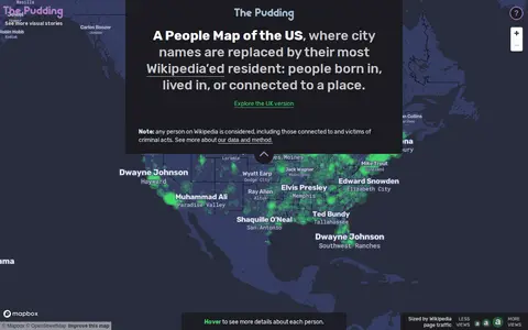
A People Map of the US is a map by Matt Daniels and Russell Samora that replaces city names with their most Wikipedia-viewed resident. Person and city associations were based on Wikipedia's "People from X city" pages, using English Wikipedia data collected from July 2015 to May 2019, with the top person determined by median pageviews.
Maps & Navigation 0
tjukanovt.github.io

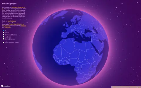
Notable People is a map showing birthplaces of the most notable people around the world, using data from Morgane Laouenan et al. The data has been processed to display only one person for each unique geographic location with the highest notability rank, with filters by category.

Maps & Navigation 0

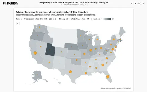
An interactive Flourish data visualisation by Mohammed Haddad, published 31 May 2020, showing where black people are most disproportionately killed by police. It uses a projection map template from the Flourish team and is hosted on the Flourish platform for interactive data visualisation and storytelling.

Legal, Police & Court Records 0
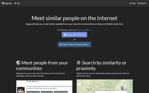
tagmap.io

Tagmap creates interactive maps of internet communities such as Reddit and Discord to help users meet similar people. It matches users who share servers, subreddits and interests, and offers search by similarity or proximity, user messaging and notifications, and privacy controls. Users can set their own location and choose who can see their profile. New maps can be created and are free.

Discord 0
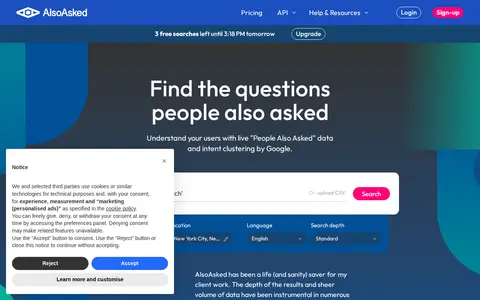
alsoasked.com

AlsoAsked is a search intent and keyword research tool that provides live, geo-specific "People Also Ask" data from Google. It helps users map search intent for traditional and AI search, improve content alignment with user queries, supports international SEO with city and language targeting, and offers API access for automated intent shift monitoring. It operates on tiered subscription plans with varying monthly credit allowances.

Search Engines & Tools 0
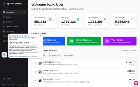
epsteinsecrets.com

A searchable archive of public Epstein-related documents, including court filings, flight logs, depositions and the black book. It uses AI to extract people, organizations and locations mentioned in the documents and maps their connections in a network visualization.

Documents & Articles 0
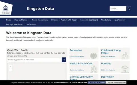
data.kingston.gov.uk

Kingston Data is a site from the Royal Borough of Kingston upon Thames Council that gathers local data and information for insight into the borough and comparisons locally and nationally. It offers a ward profile search by postcode or ward name or map click, plus themes including population, children and young people, health and social care, housing, crime and community safety, deprivation, economy and employment, and environment.

Dataset & Data Search 0
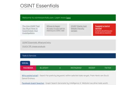
osintessentials.com

Curated OSINT toolkit with links for people search, social media, maps, domains, and research.

Research & Discovery Tools 0
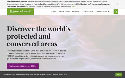
protectedplanet.net

Protected Planet is a source of data on protected areas and other effective area-based conservation measures, updated monthly with submissions from governments, organisations, landowners and communities. It provides figures on global terrestrial, inland water and marine coverage. It also covers the ICCA Registry, an online platform where indigenous peoples and local communities provide data, case studies, maps, photos and stories.

Dataset & Data Search 0
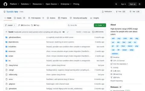
github.com

tev is a high dynamic range (HDR) image viewer for people who care about colors. It understands HDR and color profiles and displays HDR on all operating systems, and supports many file formats including gain maps, aux channels and animation.

Image Utilities 0
topostext.org

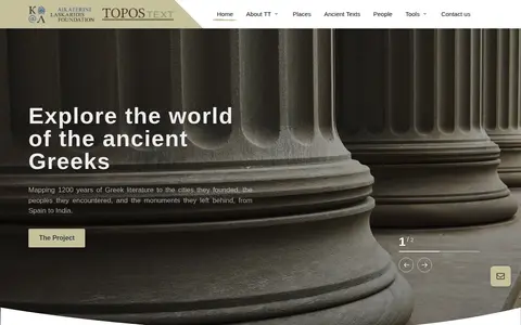
A free tool, mobile app and website for students and travelers, mapping 1200 years of Greek literature to the cities, peoples and monuments of the ancient world. It provides 886 ancient texts in digital form and 8150 mapped historic places, with texts and places stored on-device so no internet access is necessary.

Educational & Academic Books 0

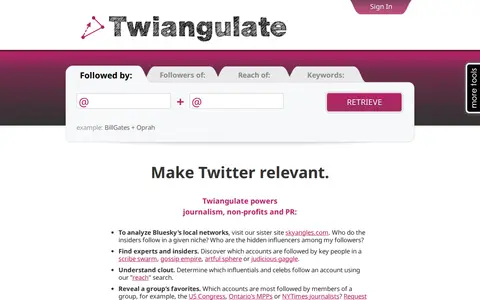
Twiangulate is a tool for search, analytics and mapping of connections between Twitter friends and followers. It is used to find which accounts are followed by key people and to see which accounts are most followed by members of a group. The site also points to a sister site, skyangles.com, for analyzing Bluesky's local networks.

X / Twitter 0

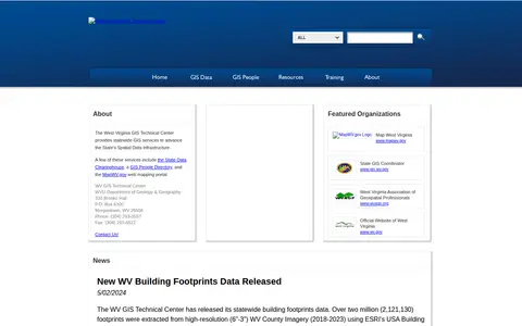
The West Virginia GIS Technical Center provides statewide GIS services to support the State's Spatial Data Infrastructure. Its services include the State Data Clearinghouse, a GIS People Directory and the MapWV.gov web mapping portal. The center publishes ArcGIS REST services for public use and offers individual datasets for download from the data clearinghouse. Files are archived and compressed into a single zip file for downloading.

Dataset & Data Search 0