
github.com
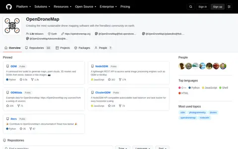
Open Drone Map is a GitHub repository or organization with source code, releases, documentation, or project resources.
Directory
Published directory entries matching your search.
Open Drone Map is a GitHub repository or organization with source code, releases, documentation, or project resources.
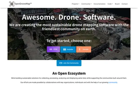
OpenDroneMap is drone mapping software that generates maps, point clouds, 3D models and DEMs from images taken by any camera in any orientation. Its ecosystem includes ODM, a command line toolkit for processing aerial images from drones, balloons or kites, plus NodeODM, CloudODM, PyODM, ClusterODM and other projects.
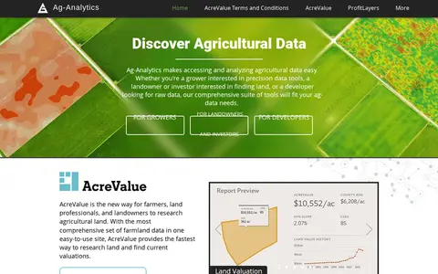
Ag-Analytics is a precision agriculture platform providing data tools for growers, landowners, investors and developers. It offers farmland valuation research through AcreValue, profit mapping via ProfitLayers, soil testing, an ArcGIS Pro add-in, water management services, on-demand drone imagery and DataLayers map layers. It also provides an acreage reporting system for submission to USDA agencies.

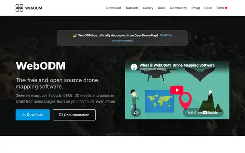
WebODM is free and open source drone mapping software that runs on a computer, including offline. It generates georeferenced orthomosaics, point clouds, digital elevation models, textured 3D models and gaussian splats from aerial images, with support for volume and area measurements and NDVI indexes.