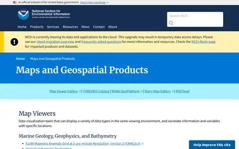
A National Centers for Environmental Information page presenting maps and geospatial products, including map viewers with data visualization tools and story maps combining maps, narrative text, images and multimedia. It also links to ArcGIS REST service directories for GIS servers with metadata and download formats for programmers and developers.
Directory
Search results
Published directory entries matching your search.
ncei.noaa.gov
cityonline.calgary.ca
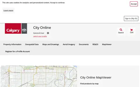
City Online is the City of Calgary's portal for purchasing property information, geospatial data, maps and drawings, and aerial imagery. Products include property reports purchased per property address and geospatial data sold per ATS section. The site also links to the Open Data Portal, map gallery, Assessment Search and other City resources.
surveyofindia.gov.in
Survey of India (SoI) is the National Mapping Agency of India under the Department of Science & Technology, Government of India. It produces and provides maps, geospatial data, and related products and services for the country.