
Flood is a web interface for rTorrent, Transmission and qBittorrent torrent clients. It supports touch screen devices with a responsive, collapsible sidebar, and offers light and dark color schemes that follow the system theme by default. Over 20 languages are supported, with language detected from browser preferences and automatic switching.
Directory
Search results
Published directory entries matching your search.
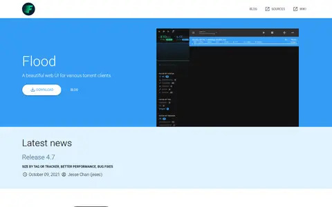
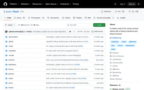
Flood is a monitoring service for various torrent clients. It is a Node.js service that communicates with a torrent client and serves a web UI for administration, with a Node.js backend and React frontend. Supported clients include rTorrent, qBittorrent v4.1+ and Transmission, with Deluge v2+ experimental.
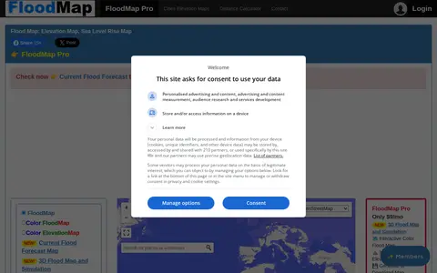
FloodMap is a miscellaneous web resource for discovery, directories, archives, web culture, or useful tools.
Floode provides machine-learning models, research, training resources, or evaluation tools.
Search geography data collections and supporting datasets from USA.
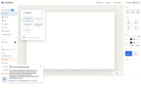
DrawIsland is a free online drawing tool for sketching, painting and digital art in the browser without a download. It includes multiple brushes, an eraser, flood fill, editable text, shapes, object selection with layer ordering, opacity, stroke and shadow controls, image adjustments and a layers panel on an 800 × 520 px canvas.
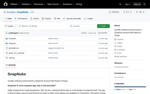
A pretty malicious tool to bomb a Snapchat account with floods of Snaps.
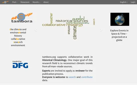
TAMBORA is a collaborative research environment for climate and environmental history. It supports work in historical climatology, with a core goal of reconstructing climatic trends from man-made sources. The platform allows users to search and contribute data, and invites experts to apply as reviewers for its publication process. It hosts resources including reconstructed climate data such as temperature fields and historical flood records. TAMBORA is operated by the Albert-Ludwigs-University Freiburg Library and Department of Physical Geography, and the Leibniz Institute for Regional Geography.
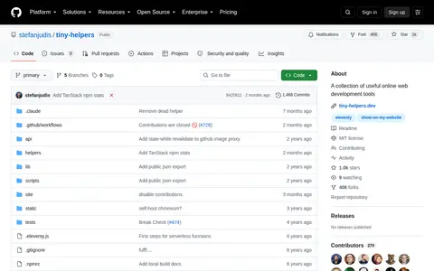
A collection of useful online web development tools, published at tiny-helpers.dev. Contributions are closed and pull requests are disabled, after the project was flooded with low-effort, AI-generated submissions. The project is licensed under MIT and uses Vercel's routing configuration.
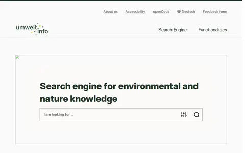
umwelt.info is a search engine for environmental and nature knowledge. It supports text queries and search filters, and lists topics such as flood risk areas, rainwater and mixed sewerage, and hazard maps. A sample search result is the Hamburg Wasserbuch, which records water use rights.
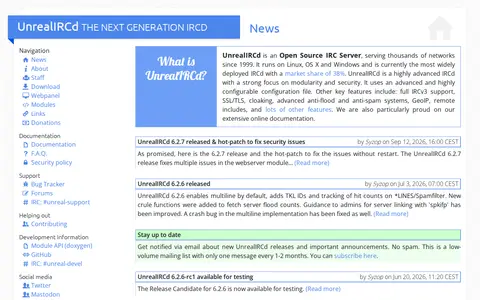
UnrealIRCd is an open source IRC server serving thousands of IRC networks since 1999. It runs on Linux, FreeBSD, NetBSD, macOS and Windows and features module support, IRCv3 support, SSL/TLS, anti-flood and anti-spam systems, and GeoIP lookups.
VINCheck allows a user to enter a vehicle identification number to learn whether the vehicle has been reported as stolen but not recovered or as a salvage or flood-damaged vehicle by participating NICB member insurance companies. The free service is limited to five searches within a 24-hour period per IP address and is not a comprehensive vehicle history report.
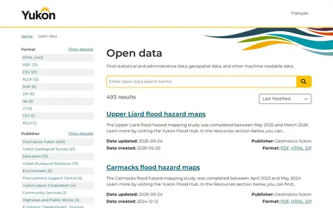
An open government portal that lets users find statistical, administrative, geospatial and other machine-readable data published by the Government of Yukon. Listings include publisher, format and update dates, with datasets such as registered Yukon societies, flood hazard maps and Yukon Liquor Corporation price lists.