earth.nullschool.net
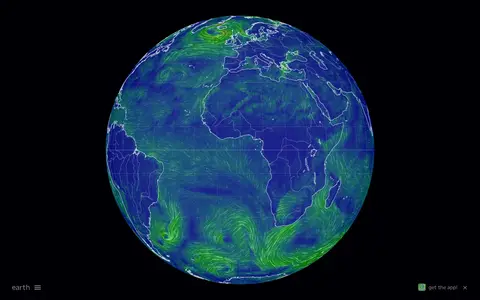
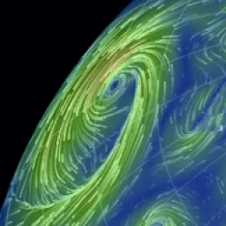
Interactive global map showing wind, weather, ocean, and atmospheric conditions using live model data.
Directory
Published directory entries matching your search.
Interactive global map showing wind, weather, ocean, and atmospheric conditions using live model data.

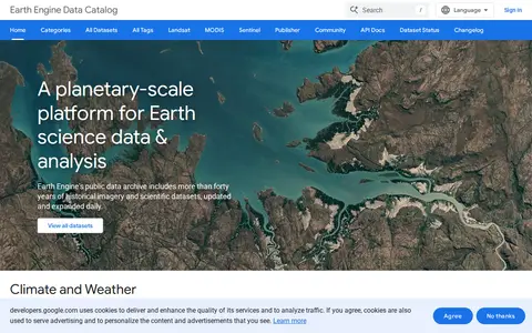
Google Earth Engine catalog of satellite imagery, climate data, land cover, and geospatial datasets.

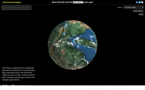
Ancient Earth is a visualization of the globe across 750 million years of Earth's history. Users can search for addresses and step through time periods, viewing paleogeographic maps by C.R. Scotese, with a globe that can be rotated and options to show clouds and the equator.

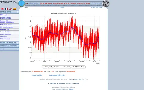
The Earth Orientation Center is the EOP Product Centre of the International Earth Rotation and Reference Systems Service. It collects time series of Earth Orientation Parameters from astro-geodetic techniques, archives them for FTP and web access, and computes combined solutions including the IERS C04 and C01 series. It also produces DUT1 and leap second announcements.
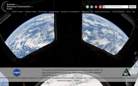
The Gateway to Astronaut Photography of Earth is a service provided by the International Space Station program and NASA's JSC Earth Science & Remote Sensing Unit. It offers access to searchable astronaut photography of Earth, including photo collections, ArcGIS Online resources, and latest International Space Station imagery, alongside tools and FAQ content.

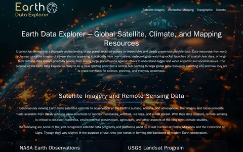
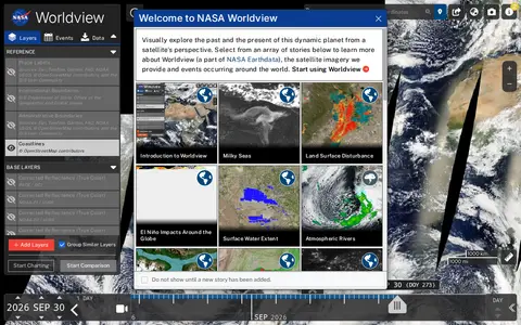
GEON is a guide to Earth observation data and mapping tools. It points to resources including satellite imagery, terrain data, atmospheric datasets, and tools such as NASA Worldview, Google Earth, and the Shuttle Radar Topography Mission (SRTM) dataset. It hosts an Earth Data Explorer that serves as a central hub for global Earth science data resources used in science, education, and environmental planning.

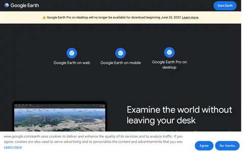
Google Earth is available on web, mobile and desktop. On mobile it allows users to browse the globe, add placemarks and annotate maps. On desktop, Google Earth Pro offers advanced tools including importing and exporting GIS data and viewing historical imagery, on PC, Mac or Linux.

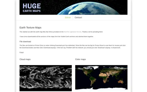
Huge Earth Maps provides downloadable Earth texture maps, including cloud maps, night light maps, color maps and bump maps. The files are hosted on Proton Drive, with sizes ranging from about 110 MB to a 2.8 GB archive of all maps.

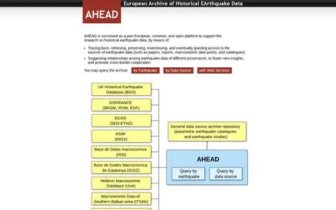
AHEAD is a pan-European, open platform for research on historical earthquake data. It traces, retrieves, preserves, inventories and grants access to earthquake data sources such as papers, reports, macroseismic data points and catalogues, and suggests relationships among data of different provenance. The archive can be queried by earthquake or by data source, and its services are integrated in the EPOS Data Portal.
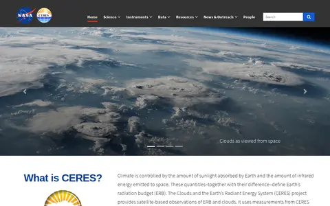
The Clouds and the Earth's Radiant Energy System (CERES) is a NASA project that provides satellite-based observations of Earth's radiation budget and cloud properties. It uses measurements from CERES instruments aboard multiple satellites along with data from other instruments to collect these observations. The project offers data ordering, subsetting and visualization tools, an online radiative transfer tool, and associated documentation and educational resources.

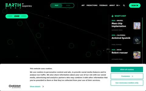
Earth 2050 is an interactive Kaspersky project presenting predictions about the future from futurologists, scientists and internet users worldwide. Users select a year (2030, 2040 or 2050) and explore predictions for different cities and countries. Visitors can vote, comment and add their own predictions.

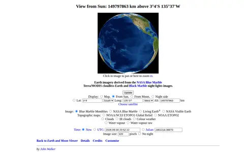
Earth and Moon Viewer is an educational resource for documentaries, courses, books, reference material, or self-learning.

Earth Now is a miscellaneous web resource for discovery, directories, archives, web culture, or useful tools.

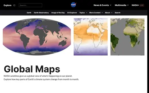
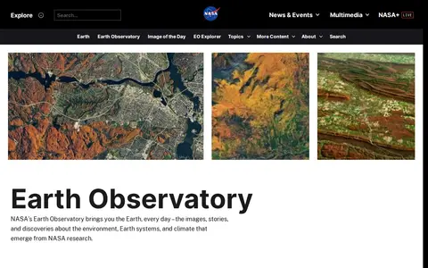
Earth Observatory is a miscellaneous web resource for discovery, directories, archives, web culture, or useful tools.
Earth Reviews is a miscellaneous web resource for discovery, directories, archives, web culture, or useful tools.

Earth.fm is an audio or music resource for streaming, discovery, editing, production, or library management.

EarthCam operates a network of live streaming webcams at tourism and landmark locations worldwide. Founded in 1996, the company also provides webcam technology and managed services, including time-lapse cameras and 360° reality capture, for corporate and government clients. The site derives revenue from advertising and content licensing.

EarthData is an educational resource for documentaries, courses, books, reference material, or self-learning.

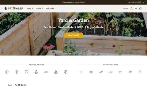
EarthEasy is a miscellaneous web resource for discovery, directories, archives, web culture, or useful tools.
Memorize Earth is a Jeopardy-style geography trainer covering countries, capitals, U.S. states, Canadian provinces, flags, oceans, mountain ranges, and presidents. Players pick a value, take the clue and clear the board. The site describes the game as extremely difficult and tracks progress over time in the browser.
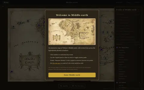
An interactive map of Middle-earth featuring events from The Lord of the Rings, The Hobbit, and The Silmarillion. Users can scroll to zoom, drag to pan, click markers for details, filter by book, toggle journey paths, measure distances, and play a story that unfolds all 128 events in order.
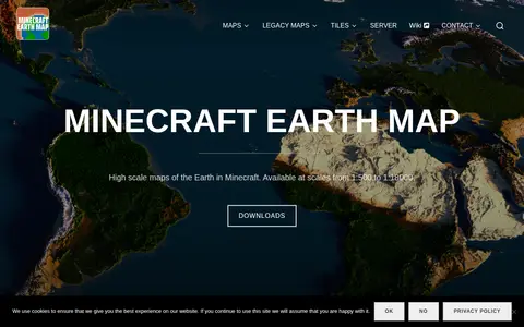
Minecraft Earth Map offers ready-to-play maps in several scales, from 1:500 to 1:18000. Official maps are for Java Edition only, while fan-made map converts exist for Bedrock. Legacy maps for 1.12.2 are available at 1:1000, 1:2000 and 1:4000. The site also links the Tiles software used to create maps for 1.16.5 and newer.

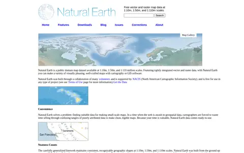
Natural Earth provides free vector and raster map data at 1:10m, 1:50m, and 1:110m scales, developed as a resource for making custom maps. Vector data comes in ESRI shapefile format and raster data in TIFF format, both using the WGS84 datum. Attributes include ranked feature names and map design details such as river width and country colors.

Visible Earth is an educational resource for documentaries, courses, books, reference material, or self-learning.