geonarra.com
Geonarra helps explore location-based stories, map data, and geographic information through a map interface.
Directory
Published directory entries matching your search.
Geonarra helps explore location-based stories, map data, and geographic information through a map interface.
Georgia GIO Data Hub is a public data portal for discovering, analyzing and downloading data. Files are available in CSV, KML, Zip, GeoJSON, GeoTIFF or PNG, and the site provides API links for GeoServices, WMS and WFS. Users can analyze data with charts and thematic maps and create StoryMaps and Web Maps.

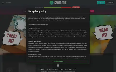
Geotastic is a geography or map-based game resource for exploring places, clues, or location challenges.

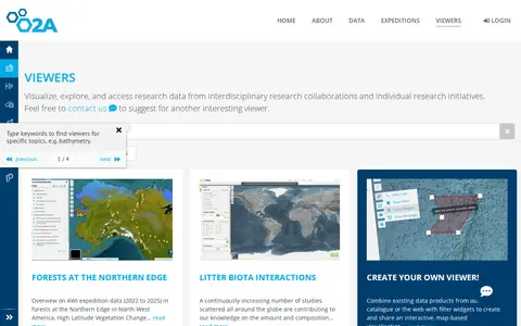
The GIS Maps Portal at AWI is part of the O2A Data Portal, which was developed by scientists for scientists to support FAIR research data management. It enables users to publish, visualize, browse, and access research data from both interdisciplinary research collaborations and individual research initiatives.

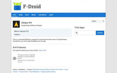
An Android app that wraps the web version of Google Maps in a restricted WebView for access when OpenStreetMap isn't enough. It depends on the Google Maps website, a non-free network service. It requires Android 5.0 or newer and is licensed under the GNU Affero General Public License v3.0 or later.

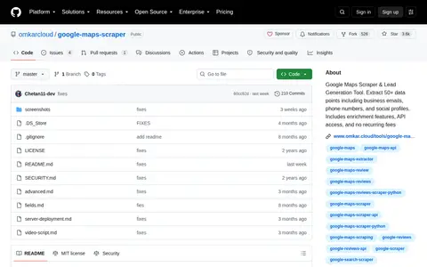
Google Maps Scraper & Lead Generation Tool. Extract 50+ data points including business emails, phone numbers, and social profiles. Includes enrichment features, API access, and no recurring fees

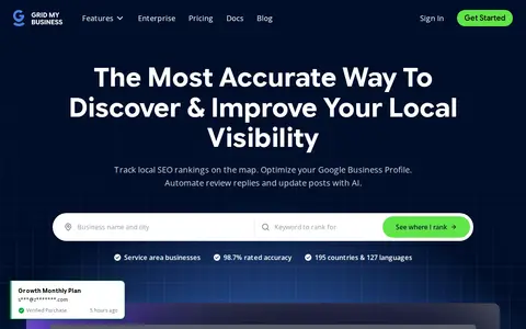
A local SEO tool that scans geo-grids to show Google Maps rankings across multiple locations and offers AI-assisted optimization of Google Business Profiles. It includes rank tracking, competitor tracking, support for service area businesses, and AI search visibility checks. Agency features include white-label PDF reports, organized workspaces, and secure team management.

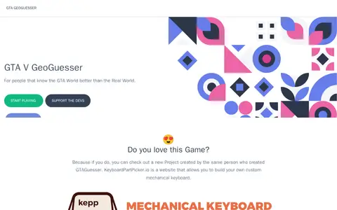
A free browser game that drops the player into a random location on the GTA 5 map and asks them to identify the location from in-game screenshots. No account is needed to play, and the creator accepts support through Patreon and PayPal.
The HIFLD Open Portal is an ArcGIS Hub platform that allows users to discover, analyze, and download datasets in formats including CSV, KML, Zip, GeoJSON, GeoTIFF and PNG. It also provides access to geospatial service APIs, enables analysis with charts and thematic maps, and supports creation of StoryMaps and Web Maps.
Highland Council Open Map Data is a portal for discovering, analyzing and downloading map data. Data can be downloaded in formats including CSV, KML, Zip, GeoJSON, GeoTIFF and PNG, and API links are available for GeoServices, WMS and WFS. Charts, thematic maps, StoryMaps and Web Maps are also offered.

Historical visualization and research record mapping a sample of linked Tor onion services.

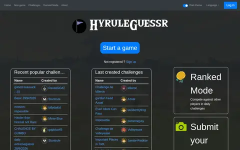
Hyrule GeoGuessr is a geography or map-based game resource for exploring places, clues, or location challenges.
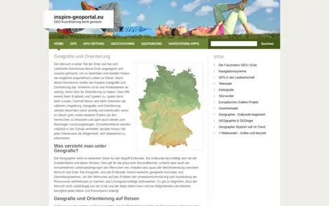
European geoportal for finding INSPIRE spatial datasets, map services, and geographic metadata.

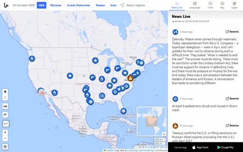
Liveuamap is an independent global news and information site that presents news, including conflicts, protests, terrorism, natural disasters and weather, from many sources. It uses a map-centric approach to organize stories and offers open online access to a chronological archive for researching past events. A team of developers and journalists founded it in 2014 to report on the Ukrainian conflict, later expanding to other regions.

Liveuamap is a map-centric news site founded in 2014 by developers and journalists. Liveuamap shows conflict and other news geographically, using AI web crawlers and analysts to fact-check stories before editors place them on the map. The site offers an archive of past site information and has expanded its coverage beyond the Ukrainian conflict to other regions, including Israel-Palestine.

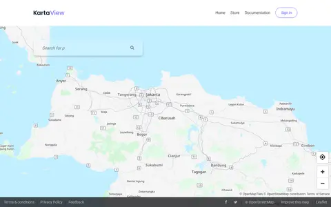
KartaView shows crowdsourced street-level imagery for roads, routes, and map improvement projects.
Kenya Open Data is an ArcGIS Hub-powered platform that enables users to discover, analyze, and download datasets in formats including CSV, KML, Zip, GeoJSON, GeoTIFF and PNG. It provides API links for GeoServices, WMS and WFS, supports analysis via charts and thematic maps, and allows creation of StoryMaps and Web Maps.

LanguageGuessr is a browser game in which players hear ten seconds of a stranger speaking and place a pin on the map where they think the language is spoken. It offers over 150 languages, five rounds a day, a new daily challenge, and multiplayer rooms. Accounts are free and track streaks and medals per language.

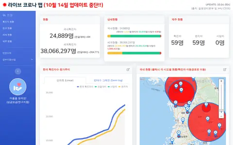
Korean COVID-19 map and dashboard for tracking outbreak data, cases, and local updates.
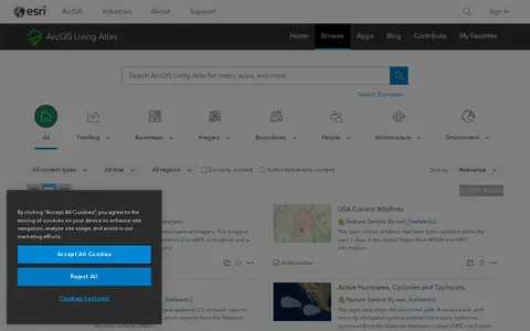
ArcGIS Living Atlas offers curated maps, imagery, demographic layers, and global geographic datasets.

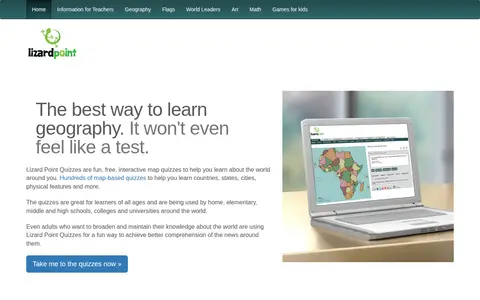
Lizard Point Quizzes is a site offering interactive map quizzes for learning or studying geography. It states that over 200 map quizzes cover world countries, states, cities, rivers, flags and more. A free account can save scores and track progress, and quizzes can be customized. Teachers can access their students' scores.

Location Search is a tool for searching YouTube for geographically tagged videos by location, topic, or channel. Results can be viewed on a map, and search options include radius, keywords, timeframe, sort order, and language. An update note states that the application name was changed and the export feature removed following a YouTube audit.
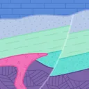
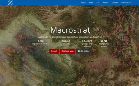
Macrostrat is a platform for exploring, integrating and analysing geological data. It aggregates geologic maps from data providers and links map polygons to rock columns, stratigraphic names and geochronological intervals. The site offers a searchable geologic map and an API. Interactive applications built on the platform are intended for educational and research purposes.
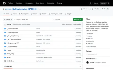
A repository of material for the exercise classes of a Big Data Analytics master course. Hands-on sessions cover Spark and its machine learning library, Map/Reduce implementations of linear regression and alternating least squares, streaming analytics with Recursive Least Squares, and image classification with convolutional neural networks. Material is provided as Jupyter notebooks.