oalley.net
OALLEY creates travel-time maps, isochrones, and reachable-area analysis from chosen locations.
Directory
Published directory entries matching your search.
OALLEY creates travel-time maps, isochrones, and reachable-area analysis from chosen locations.

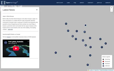
OpenHeritage 3D is a platform that hosts 3D datasets of heritage sites. It publishes news about heritage locations, provides access to its datasets, and operates a YouTube channel with hundreds of preview videos of its 3D heritage models. The platform also offers labs, an FAQ, contact information, and accepts donations.
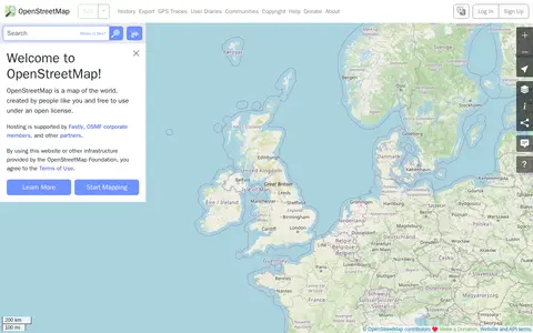
OpenStreetMap is a map of the world created by contributors and free to use under an open license. The site offers help resources, including a beginners' guide, a community forum, mailing lists and a wiki.

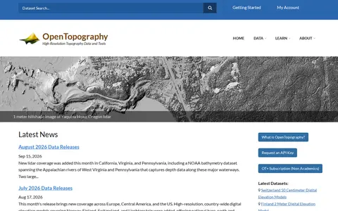
OpenTopography is a platform providing high-resolution topography data and tools, including lidar point clouds, digital elevation models and hillshade imagery. It offers data discovery, programmatic access to raster DEM datasets through a STAC catalog, and a Point Elevation API returning elevation for any location from global and regional datasets.

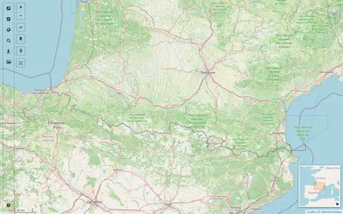
A map interface built on OpenStreetMap that collects external cartographic tools and links them with automatic positioning on the current map extent. It offers a layers catalog for base layers and overlays, location search, and panes for StreetView images and webcams. Filters cover recently added links, favorites and tags.

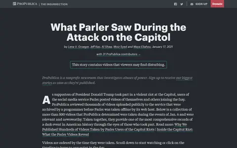
ProPublica collection of Parler videos from the Capitol attack, searchable by time and location.

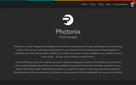
Photonix is a photo management application that ingests a photo collection and builds a searchable image database. It offers an image organizer and viewer, version tracking and de-duplication, multiple users, sharing, and slideshows, and makes the collection accessible from a web browser. Image analysis includes color analysis, location detection, object recognition, and face detection and recognition.
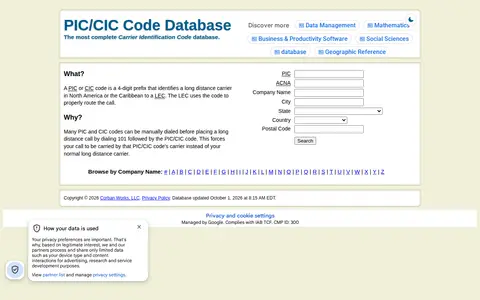
A database for looking up PIC/CIC (Carrier Identification Code) codes, which can be searched by code, ACNA, company name or location. A PIC or CIC code is a 4-digit prefix that identifies a long distance carrier in North America or the Caribbean to a LEC, which uses the code to route calls. The database is updated daily from the NANPA list.

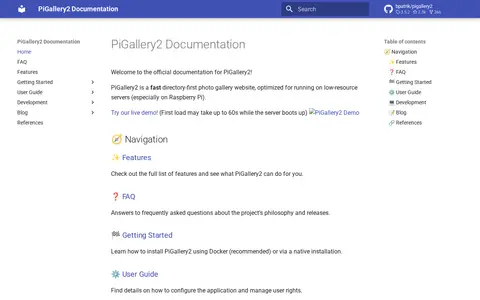
PiGallery2 is a self-hosted directory-first photo gallery website optimized for low-resource servers, especially Raspberry Pi. It offers a photo viewer with an information panel, maps using photo location data, and advanced searching with boolean logic, negation, exact and wildcard matching. Installation is possible via Docker or native setup.

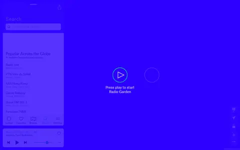
Radio Garden lets users explore live radio stations around the world through an interactive globe.
Scanner map for finding public radio feeds, calls, and communication activity by location.
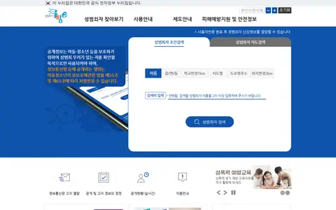
Korean public sex offender registry for searching listed offender information and locations.

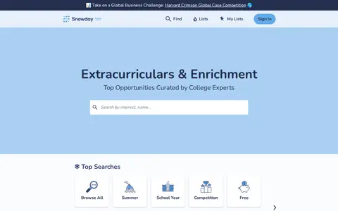
Snowday is an education platform that aggregates learning and extracurricular opportunities for U.S. high school students. It hosts a searchable database of over 2,100 programs, including summer, school-year, and competition options, with AI-powered filtering by location, date, and cost, plus curated expert lists and user-submitted reviews.

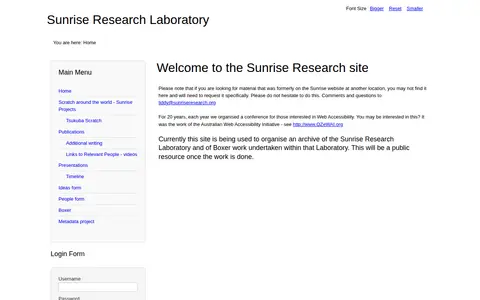
The site is currently being used to organise an archive of the Sunrise Research Laboratory and of Boxer work undertaken within that Laboratory. The text states it will be a public resource once the work is done. It also notes that material formerly on the Sunrise website at another location may not be found here and must be requested specifically.

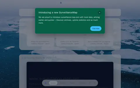
SurveillanceMap catalogs publicly accessible private cameras and exposed surveillance feeds for awareness.

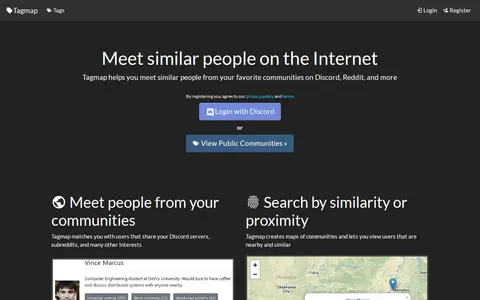
Tagmap creates interactive maps of internet communities such as Reddit and Discord to help users meet similar people. It matches users who share servers, subreddits and interests, and offers search by similarity or proximity, user messaging and notifications, and privacy controls. Users can set their own location and choose who can see their profile. New maps can be created and are free.

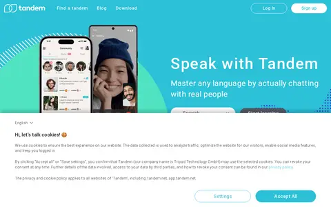
Tandem is a language exchange app where users find conversation partners. Users download the app for free, sign up, and search for partners by language, location, and interests. Conversation happens through text, voice notes, audio or video calls, with in-app correction and translation tools.
RAND terrorism incidents database for searching attacks, locations, groups, and event details.

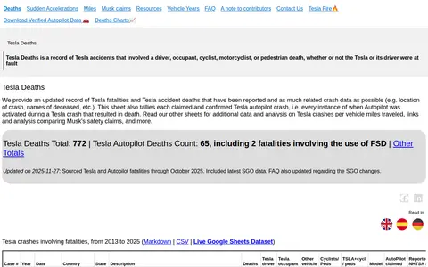
Tesla Fatality Dataset is a public record of Tesla accidents that resulted in death, covering incidents from 2013 to 2025. It includes fatalities of drivers, occupants, cyclists, motorcyclists and pedestrians, regardless of fault, and compiles reported crash data such as incident location and names of deceased. The dataset tracks both claimed and confirmed Tesla Autopilot crashes, and is available in Markdown, CSV and live Google Sheets formats.

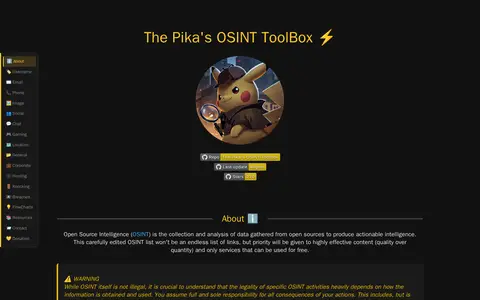
A curated directory of OSINT tools and resources organized by categories such as username, email, phone, image, social, chat, gaming and location. The page states that it prioritizes highly effective content over quantity and lists only services that can be used for free. It includes dorks and tool entries with usage examples.
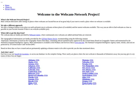
The Webcam Network provides regional webcam listings for places worldwide. It lists locations and points to available webcams there or the nearest available webcams. Webcam data comes from Webcam Galore, and topographical information comes from the GEOnet Names Server; a distance matrix is updated permanently.

TheUniGuide is a platform for finding and comparing university degree courses. It offers advice on applications, UCAS deadlines, personal statements, and student finance. Users can search courses and universities by name or location, and access guidance on clearing and other aspects of the university journey.

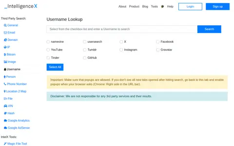
Intelligence X provides a collection of free open source intelligence (OSINT) and forensic tools for investigative use. The tools support lookups for emails, domains, IP addresses, Bitcoin addresses, images, usernames, people, phone numbers, locations, files, VINs, and hashes, alongside social media intelligence tools for Facebook, Twitter, LinkedIn, Telegram, and YouTube, plus AI-powered search features. All third-party lookup services open in pop-up tabs, and the provider disclaims responsibility for third-party service results.
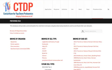
The Proteoform Atlas, hosted by the Consortium for Top Down Proteomics, is a database intended to provide a central location for scientists to browse uniquely observed proteoforms and to contribute their own datasets. Entries can be browsed by organism, cell type and data set, alongside repository metrics and confidence levels.