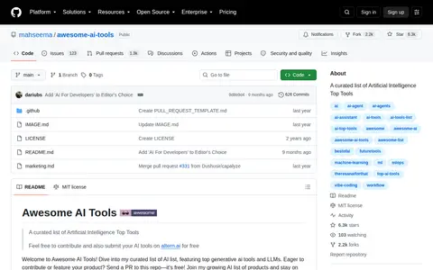

A curated GitHub list of artificial intelligence tools. It groups entries into categories such as AI text, coding, generative images, video, audio, marketing, phone call agents and learning resources, and links to models including GPT-3, GPT-4, LLaMA and Claude 3.
Directory
Search results
Published directory entries matching your search.
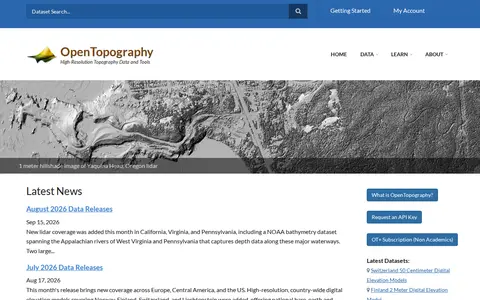
OpenTopography is a platform providing high-resolution topography data and tools, including lidar point clouds, digital elevation models and hillshade imagery. It offers data discovery, programmatic access to raster DEM datasets through a STAC catalog, and a Point Elevation API returning elevation for any location from global and regional datasets.
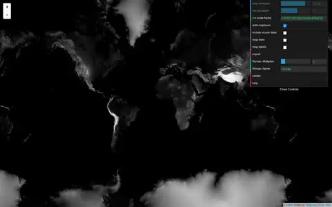
Tangram Heightmapper is an elevation data browser that auto-exposes the display so the highest and lowest visible elevations are white and black, producing a grayscale heightmap. The image can be exported and imported as a displacement map in 3D applications. Auto-expose can be unchecked to set minimum and maximum height levels manually.
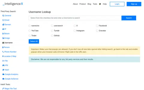
Intelligence X provides a collection of free open source intelligence (OSINT) and forensic tools for investigative use. The tools support lookups for emails, domains, IP addresses, Bitcoin addresses, images, usernames, people, phone numbers, locations, files, VINs, and hashes, alongside social media intelligence tools for Facebook, Twitter, LinkedIn, Telegram, and YouTube, plus AI-powered search features. All third-party lookup services open in pop-up tabs, and the provider disclaims responsibility for third-party service results.
Privacy-focused search engine for web, image, video, news, and map results.
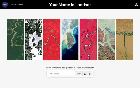
Your Name in Landsat is an interactive NASA and USGS tool that spells a typed name using Landsat satellite imagery of Earth, letter by letter, and allows sharing the resulting image. The satellite images come from Landsat's record spanning more than 50 years.
4shared is an online file sharing and storage service offering 15 GB of free web space. Users can search, download, store and share files including music, videos, apps, images and books. Registration is required, and apps are available for offline access.
A.Tools is a collection website offering hundreds of free online tools that can be used without downloading or installing them, grouped into categories such as graphics and images, text and characters, encrypt and decrypt, and calculator and converter. Most tools are free, with certain premium tools or features requiring a Premium Plan.
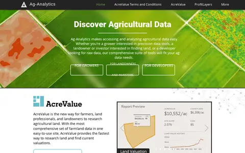
Ag-Analytics is a precision agriculture platform providing data tools for growers, landowners, investors and developers. It offers farmland valuation research through AcreValue, profit mapping via ProfitLayers, soil testing, an ArcGIS Pro add-in, water management services, on-demand drone imagery and DataLayers map layers. It also provides an acreage reporting system for submission to USDA agencies.
The Alvin Frame-Grabber system gives the NDSF community online access to Alvin's video imagery co-registered with vehicle navigation and attitude data. It is used for shipboard analysis, planning deep submergence research cruises, and synoptic review of data after a cruise.
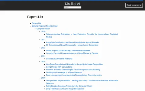
Aman's AI Journal papers list compiles seminal and need-to-know computer vision papers, organized by publication year from 2010 onward. Entries include titles such as ImageNet Classification with Deep Convolutional Neural Networks, Generative Adversarial Networks, and Deep Residual Learning for Image Recognition. The site also offers course notes and learning material for Artificial Intelligence and Deep Learning Stanford classes.
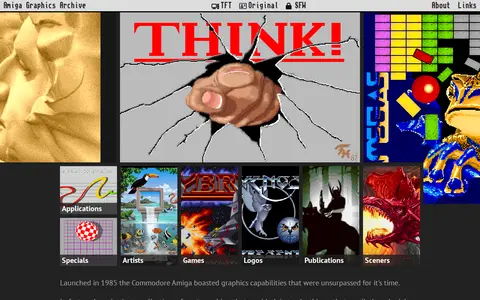
A curated gallery of pixel graphics made with or for the Commodore Amiga home computer. It showcases images in a web browser and includes articles, collections by artists, games, logos and publications. The site states that all works remain copyrighted to their respective owners.
Search humanities and social data collections and supporting image from POL.
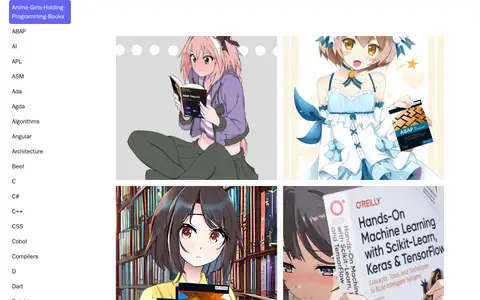
This project is a collection of image files featuring characters holding textbooks related to programming and computer science topics. The listed materials include books on ABAP, machine learning, reinforcement learning, assembly language, algorithms, deep learning and other related subjects.
Dataset repository covering engineering, with searchable image.
Search educational data collections and supporting moving image from DEU.
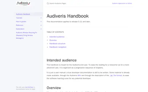
Audiveris is an open source optical music recognition application under the AGPL V3 license. It couples an OMR engine with an interactive editor to recognize music from digitized images and convert it into its own OMR format or MusicXML. Handwritten scores are not supported, only printed scores, and only common musical symbols are handled. A graphical interface supports verification and manual correction of outputs.
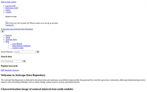
The AuScope Data Repository preserves and provides continuous access to geoscientific data generated by Australia's geoscience community. It addresses fundamental geoscience questions and challenges such as climate change, natural resource security, and natural hazards. The site lists collections including iron-oxide nodule characterisation images, Victorian multi-element geochemistry samples, and Calperum ground temperature data.
Research data portal for exploring biology records, including image.
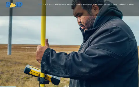
The Barrow Area Information Database (BAID) is a resource for learning about data collection activities in the Barrow area on the North Slope of Alaska. Its team collaborates with scientists and the local community to compile and share information through online web mapping applications. Applications cover historical imagery, coastal erosion, community planning and research sites.
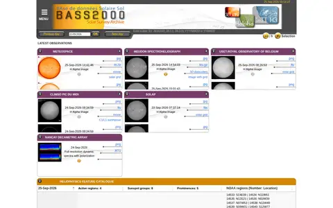
BASS2000 is a solar survey archive presented as a database of images. It offers a menu of latest observations and a date entry field, and links to resources including MeteoSpace, the Nançay Decametric Array, the Meudon Spectroheliograph, Climso Pic du Midi, and the Heliophysics Feature Catalogue.
Search art history, music, theatre and media studies data collections and supporting image from GBR.
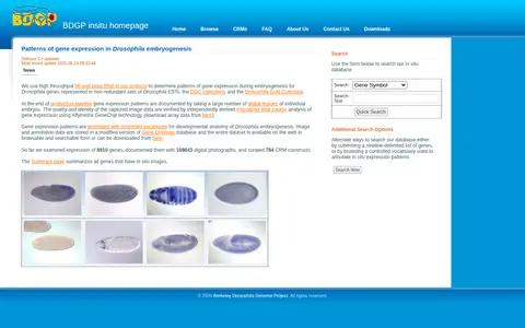
Database of Drosophila embryogenesis gene expression patterns generated with a high-throughput RNA in situ protocol. Expression patterns are documented with digital embryo images, annotated with controlled vocabulary, and stored in a modified Gene Ontology database. The dataset is browsable, searchable, and downloadable.
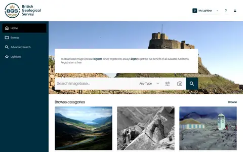
BGS GeoScenic is the home page of the BGS GeoScience Imagebase Asset Bank. It enables users to search the geoscience image archive, perform visual similarity searches for images, browse categorized assets, access promoted and recently added content, and manage a personal lightbox of saved items. The platform supports advanced search functionality for digital assets.