An ArcGIS Hub open data portal from Ottawa Riverkeeper for discovering, analyzing and downloading data. Data can be downloaded in CSV, KML, Zip, GeoJSON, GeoTIFF or PNG, and API links are provided for GeoServices, WMS and WFS. Analysis is available through charts and thematic maps, with options to create StoryMaps and Web Maps.
Directory
Search results
Published directory entries matching your search.
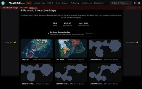
Palworld Interactive Maps & Locations is a fan-made resource for Palworld by The Hidden Gaming Lair. It offers 164 interactive maps covering locations across Palpagos Island, The World Tree and other areas, alongside a database of Pals, items, recipes and technology, plus tools including a Breeding Calculator and an IV Calculator.
A portal for discovering, analyzing and downloading data from Prince Edward Island Open Data. The data can be downloaded in formats including CSV, KML, Zip, GeoJSON, GeoTIFF and PNG. API links are provided for GeoServices, WMS and WFS, and the data can be analyzed with charts, thematic maps, StoryMaps and Web Maps.
The Regional District of North Okanagan GIS Open Data Site lets users discover, analyze and download geographic data. It offers downloads in CSV, KML, Zip, GeoJSON, GeoTIFF or PNG, API links for GeoServices, WMS and WFS, analysis with charts and thematic maps, and creation of StoryMaps and Web Maps.

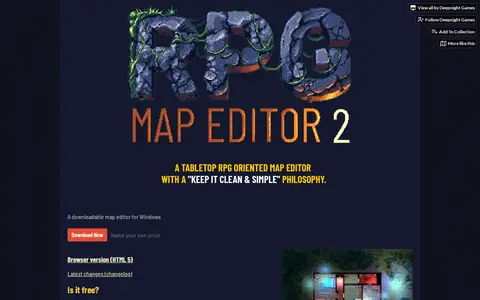
Tabletop RPG Map editor II is a map editor by Deepnight Games for Windows, also available as a browser HTML5 version. Maps use generic shapes rather than specific objects. It supports maps generated by One Page Dungeon, diagonal and cavern walls, and raycasted lighting. The project is in an Alpha phase, and the desktop version is recommended for file management. It is offered as pay what you want, including free.
The SCC Open Data Site is an ArcGIS Hub platform that provides access to downloadable datasets in formats including CSV, KML, Zip, GeoJSON, GeoTIFF and PNG. It offers API links for GeoServices, WMS and WFS, supports data analysis with charts and thematic maps, and enables users to create StoryMaps and Web Maps using the available data.
SeatMaps is a travel resource for finding and comparing airline seat maps. It offers seat maps for 740 airlines and 3299 aircraft, with seat comparisons, cabin layouts, legroom, cabin amenities, photos, passenger reviews and 360° cabin views. It covers more than 800 airlines worldwide. The site also provides fleet overviews of popular airlines and 3D cabin views of selected aircraft.
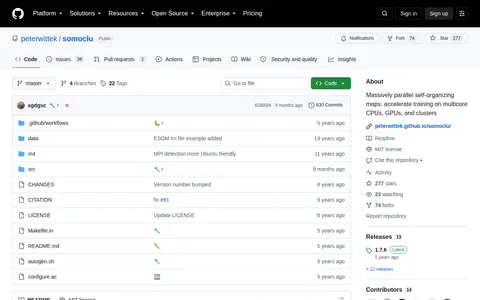
Somoclu is a massively parallel implementation of self-organizing maps, using multicore CPUs, MPI for cluster workload distribution, and CUDA acceleration. It supports OpenMP, MPI, and CUDA, runs on Linux, macOS, and Windows, and offers planar and toroid maps, rectangular and hexagonal grids, and Gaussian and bubble neighborhood functions. Both dense and sparse input data are supported, with interfaces for Python, R, Julia, and MATLAB.
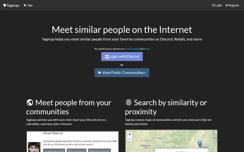
Tagmap creates interactive maps of internet communities such as Reddit and Discord to help users meet similar people. It matches users who share servers, subreddits and interests, and offers search by similarity or proximity, user messaging and notifications, and privacy controls. Users can set their own location and choose who can see their profile. New maps can be created and are free.
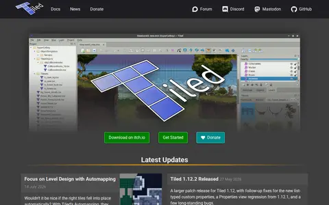
Tiled is a free and open source level editor with object layers, tile layers, and rule-based tile and object placement. It supports orthogonal, isometric and hexagonal maps, infinite maps, and world organization. The editor can be extended with JavaScript, and it exports to Image, JSON, Lua, GameMaker, Defold, tBIN and other formats.
The Transport for NSW Open Data Hub provides a data catalogue for browsing, exploring and downloading datasets, connecting to APIs, and finding insights and interactive maps. It also offers geospatial files and interactive maps, interactive visualisations, and developer resources for accessing APIs and using real-time data. A further section covers innovation challenges and data partnerships.

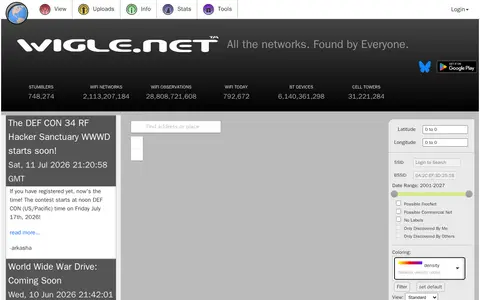
WiGLE maps wireless networks, Wi-Fi access points, Bluetooth devices, and location data.
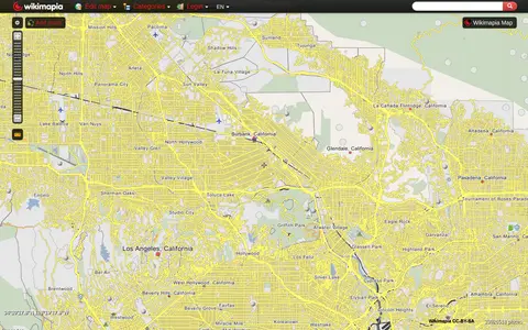
Wikimapia combines maps with user-added place descriptions, boundaries, landmarks, and local notes.
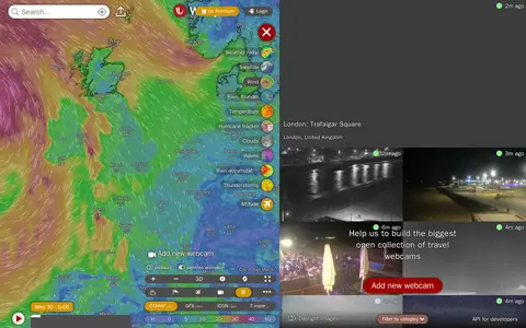
Windy Webcams is a service that provides worldwide animated weather maps, wind and wave forecasts, weather radar, satellite imagery, and aviation weather data including METAR, TAF and NOTAM reports for various user groups.
Privacy-focused search engine for web, image, video, news, and map results.
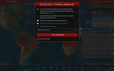
NASA FIRMS map shows satellite-detected fires, hotspots, and fire activity around the world.
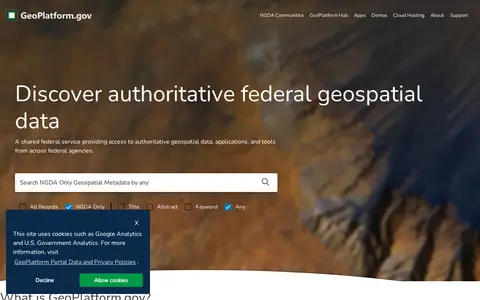
US geospatial portal for discovering government maps, data layers, services, and geographic resources.
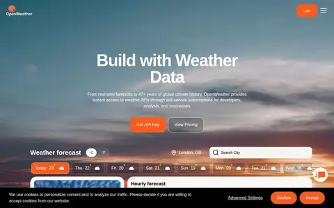
Weather data platform offering forecasts, current conditions, maps, and weather APIs.
PresentationGO offers a library of free PowerPoint templates, Google Slides themes, diagrams and infographics. The site states the designs are fully editable and available without sign-up. Templates are organized by category such as business, infographics, maps, education, medical and technology, and many are listed as available for both PowerPoint and Google Slides in 16:9 format.
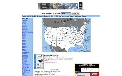
RF Search is a search engine for amateur radio, GMRS and business radio. It offers repeater search by state or zip code, with amateur and GMRS repeaters updated daily. A paid membership provides expanded maps without advertisements and local repeater listings.
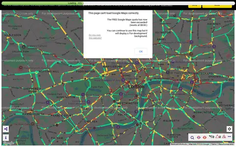
Transport for London camera viewer showing live traffic cameras and road conditions.
Wad Archive is an Internet Archive item holding the complete archive of all WADs that were indexed on wad-archive.com, with files as they were stored on the server. It lists Doom, Heretic, Hexen, Strife and Doom II as topics; the WADs are not stored by their filename, and a CSV maps hash to filename.
Cipher387's large OSINT tool collection covering social media, domains, people, maps, and more.
A web page that maps the solar system to scale with the Moon at one pixel. It presents the Sun, planets and some moons in sequence across a long scroll, with notes on the large distances between them. It states that distances shown are averages and depend on orbital positions.