maps.longbeach.gov
Long Beach public GeoSpatial & Open Data Portal.
Directory
Published directory entries matching your search.
Long Beach public GeoSpatial & Open Data Portal.

Dataset repository covering biology, with searchable geospatial data.
Find published open datasets through filters, categories and keyword search.
Searchable repository for finding agriculture, forestry and veterinary medicine datasets and geospatial data.

Dataset repository covering agriculture, forestry and veterinary medicine, with searchable geospatial data.

Browse research datasets and geospatial data related to atmospheric, oceanography and climate.

Searchable repository for finding agriculture, forestry and veterinary medicine datasets and geospatial data.

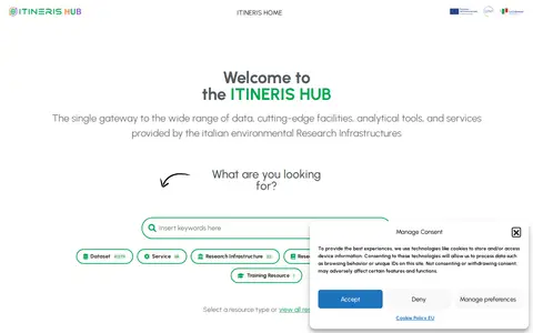
ITINERIS HUB is a single access point to data, facilities, analytical tools and services from Italian environmental Research Infrastructures. It includes a metadata catalogue, geospatial metadata hub, access platform, virtual research environments, training resources, datasets and a terminology service. Resources are described as freely accessible under FAIR and open science principles.

Browse research datasets and geospatial data related to geosciences.

Dataset repository covering acoustics, with searchable geospatial data.

Dataset repository covering agriculture, forestry and veterinary medicine, with searchable geospatial data.
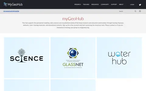
MyGeoHub is a hub built on the HUBzero platform that supports geospatial modeling, data analysis and visualization for research and education communities. It hosts groups, datasets, tools, training materials and educational content, and offers a free account for accessing resources. It also allows groups to be hosted on the site.

Browse research datasets and geospatial data related to biology.
The New Hampshire Geodata Portal provides access to authoritative GIS data, web applications and related geospatial resources for the state of New Hampshire. It is developed by NH GRANIT at the University of New Hampshire, and makes resources available in partnership with New Hampshire state agencies, non-profit organizations, the US government and other partner entities.

Searchable repository for finding atmospheric, oceanography and climate datasets and geospatial data.

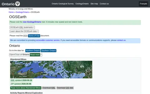
OGSEarth provides KML geospatial information for Ontario geological data, covering provincial datasets and regional coverage for Northern and Southern Ontario. The page lists datasets regularly updated, including bedrock geology, mining claims, drill holes, and aggregate resources. Datasets can be bookmarked via links on the page.
open-loiret.opendata.arcgis.com is an ArcGIS Hub site that provides access to geospatial datasets. Users can discover, analyze and download data in formats including CSV, KML, Zip, GeoJSON, GeoTIFF and PNG. The site offers API links for GeoServices, WMS and WFS, and supports the creation of StoryMaps and Web Maps.
Browse research datasets and geospatial data related to astrophysics and astronomy.

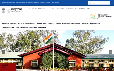
Survey of India (SoI) is the National Mapping Agency of India under the Department of Science & Technology, Government of India. It produces and provides maps, geospatial data, and related products and services for the country.
Searchable repository for finding geology and palaeontology datasets and geospatial data.

Dataset repository covering agriculture, forestry and veterinary medicine, with searchable geospatial data.

Browse research datasets and geospatial data related to agriculture, forestry and veterinary medicine.

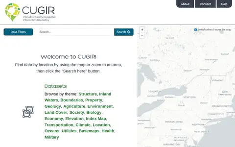
CUGIR is a repository offering datasets and scanned maps. Datasets can be browsed by theme or found by zooming a map to an area and clicking a search button. Themes include boundaries, geology, agriculture, land cover, transportation, climate and elevation. The scanned maps section provides access to all map holdings.
The HIFLD Open Portal is an ArcGIS Hub platform that allows users to discover, analyze, and download datasets in formats including CSV, KML, Zip, GeoJSON, GeoTIFF and PNG. It also provides access to geospatial service APIs, enables analysis with charts and thematic maps, and supports creation of StoryMaps and Web Maps.