Directory

Search results

Published directory entries matching your search.

Search results

75 listings
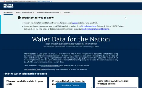
waterdata.usgs.gov

USGS Water Data for the Nation is an official United States government water data portal. It provides access to real-time and over 135 years of historical water data, tools to save favorite monitoring locations, create water alerts, and programmatic access to data via APIs. Users can explore water conditions, latest weather events, and related water resources information through the platform.

Dataset & Data Search 0

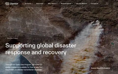
Vantor's Open Data Program provides free satellite imagery and spatial intelligence to first responders for disaster response and recovery. Imagery is released before and after events into the public domain under a Creative Commons BY-NC 4.0 license. The program activates when a sudden onset disaster is categorized as major and a Vantor FirstLook event service has been activated.

Dataset & Data Search 0
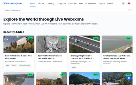
webcamexplore.com

WebcamExplore is a platform that provides 24/7 access to over 10,000 live 4K webcams from global locations, including beaches, mountains, city streets, and events. It includes intuitive categories, location filters, and responsive layouts for use on any device, enabling real-time viewing of destinations worldwide.

Fun & Interesting 0