Directory

Search results

Published directory entries matching your search.

Search results

835 listings
vmf.geo.tuwien.ac.at

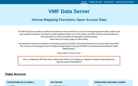
The VMF Data Server provides a portfolio of tropospheric products and consistent troposphere delay models for space geodetic techniques. Products include mapping functions such as VMF1, ray-traced delays for VLBI observations, and corrections for atmospheric pressure loading. The server was set up under a project funded by the Austrian Science Fund.

Dataset & Data Search 0
github.com

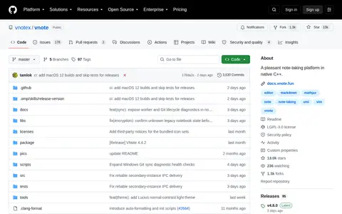
VNote is a free and open source note-taking application built with Qt. It combines note management with editing across several document formats, including Markdown, plain text, source code, mind maps and PDF. It runs on Linux, Windows and macOS and requires Qt 6.

Notes & Knowledge Management 0

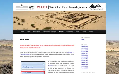
Web GIS presenting raw survey data from the Wadi Abu Dom Itinerary project, developed with the Institute for Geoinformatics of the WWU Muenster. The platform is currently shared with the Doliche research project. It offers a layer tree for loading datasets and background maps such as Open Street Map or Google Earth, and allows uploading gpx or kml data for private comparison.

Dataset & Data Search 0

ArcGIS dashboard showing Walmart store status, closures, and location-based operational updates.

Maps & Navigation 0
wand.com

Wand is a free app offering interactive maps, game guidance, and customization tools for thousands of PC games. It provides gameplay assists that can be toggled on or off, in-game guidance and an overlay accessible by pressing Alt+W, one-click launch for 3500+ games, and a paid Wand Pro tier with advanced features.

Mods & Add-ons 0
warntracker.com

WARNTracker tracks layoffs reported in public WARN records, drawing on filings that employers submit to states before large layoffs. It presents layoff maps and charts by state and year, plus company and role breakdowns, and covers 8.1 million employees laid off from 41,052 companies from 1988 to 2026. The site notes its data is not exhaustive.

Jobs & Careers 0
Preview unavailable
webcamtaxi.com

Webcamtaxi is a platform that aggregates free live high-definition webcam streams from locations worldwide. Users can access real-time footage of cities, natural landmarks, beaches, and breaking news events by selecting a location, interest category, or using an interactive map. The platform also provides local weather forecasts, climate data for destinations, and adds new webcam listings daily.

Fun & Interesting 0
maple.pet

webgbcam is a browser-based application that provides a Game Boy Camera-style photo experience, with an explicit stance against NFTs. It generates GIF previews of captured images, uses the gif.js library, and has its source code publicly available on GitHub. Created by maple and inspired by Christine Love's Interstellar Selfie Station, a blank app interface indicates the user must connect a camera and grant browser camera permissions. The project has been featured in coverage from Mashable, Nerdist, and Hackaday, and its creator accepts donations via Ko-fi.

Fun & Interesting 0
webodm.org

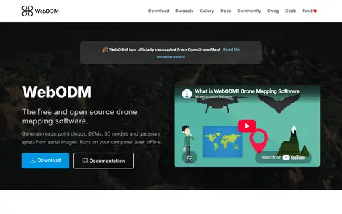
WebODM is free and open source drone mapping software that runs on a computer, including offline. It generates georeferenced orthomosaics, point clouds, digital elevation models, textured 3D models and gaussian splats from aerial images, with support for volume and area measurements and NDVI indexes.

Science & Mathematics 0
aware-online.com

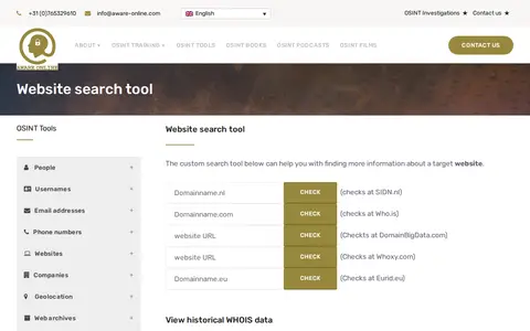
A custom OSINT tool from Aware Online Academy for investigating a target website. It provides scripts to view historical WHOIS data, check website text and source code on third-party sites, visualise links, map web pages, check Reddit presence, find open FTP ports and find other top level domains.

Domain, IP & DNS Research 0
Preview unavailable
sector035.nl

Week in OSINT is a weekly collection of OSINT news published on Sector035's site, typically appearing every Monday at 8:00 AM CEST. Each installment lists articles, tools, podcasts and other resources on topics such as privacy, maps, bookmarks, domains and geolocation.

Web Archives 0

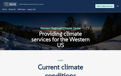
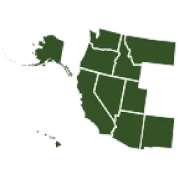
The Western Regional Climate Center provides climate services for the western United States, with interactive web apps, climate maps, drought trackers, station metadata, and monitoring station data feeds. Station coverage spans the western Pacific, Alaska, Hawaii, U.S. islands, the Pacific coast and inland to the Rocky Mountains. A legacy site was established at wrcc-archive.dri.edu.

Dataset & Data Search 0
github.com

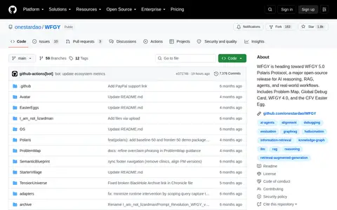
WFGY is an open-source project focused on AI reasoning, retrieval-augmented generation, AI agents, and real-world workflows. It is developing the WFGY 5.0 Polaris Protocol, and currently includes components such as the Problem Map, Global Debug Card, 4.0 version, and CFV Easter Egg.

Models & Machine Learning 0
Preview unavailable
whatsmydns.net

WhatsMyDNS is a free online tool for performing DNS lookups against nameservers in many countries. It displays results on a map so users can check DNS propagation for a domain's IP address and DNS record information. The site says it maintains a range of DNS servers for lookups and parses the results for display.

Security Tools & Toolkits 0
whichbook.net

WhichBook is a book discovery service that uses a mood and emotion search to find books matching requested qualities. It also offers browsing by world map, character and plot, and bestsellers, with books rated by readers.

Book Discovery & Databases 0
whimsical.com

Generate mind maps, flowcharts, sequence diagrams, and more from a simple text prompt with Whimsical AI. Get started for free.

AI Image Generation 0
apt.izzysoft.de

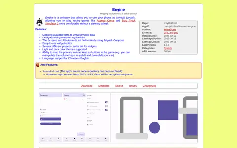
An Android application that maps a phone as a virtual joystick, described as useful for playing racing games without a steering wheel. It includes a widget editor with several presets, light and dark themes, phone volume keys mappable as buttons, and Chinese and English language support. The upstream source repository was archived, so no further updates are expected.
Game Tools & Utilities 0
whitespark.ca

Whitespark offers software and services for local SEO. Its tools cover Google Business Profile management, local ranking grids, rank tracking, citation finding and review generation. Services include SEO and citation building for small businesses, agencies and multi-location enterprises.

SEO & Website Analytics 0
argo.whoi.edu

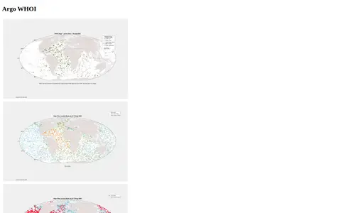
The WHOI Argo Program page is a resource for information about Argo floats deployed by the Woods Hole Oceanographic Institution. It links to status pages for core and deep floats, BGC floats, and ALAMO/ALTO floats, plus real-time data flow and DMQC status. It also offers deployment plans, manuals, coverage maps, and KML files of float locations.

Dataset & Data Search 0
wifispc.com

Wi-Fi hotspot directory for finding public wireless access points by location.

Radio & Communications 0
wikiroutes.info

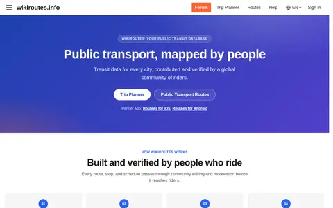
Wikiroutes is a crowdsourced public transport directory with an interactive map, schedules and route search for buses, trolleybuses and trams. Routes, stops and schedules pass through community editing and moderation before publication, and accepted changes appear on the site immediately.

Maps & Navigation 0
wiman.me

Wi-Fi map and hotspot finder for discovering public internet access points around the world.

Radio & Communications 0
windy.com

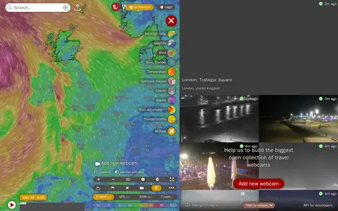
Windy Webcams is a service that provides worldwide animated weather maps, wind and wave forecasts, weather radar, satellite imagery, and aviation weather data including METAR, TAF and NOTAM reports for various user groups.

Fun & Interesting 0

WMU Digital Collections is part of Western Michigan University Libraries' finding tools. It provides access to digitized historical items, including photographs, artwork, diaries, manuscripts, maps, newspapers, medieval documents and material on southwest Michigan and WMU history. Transcripts and recordings covering World War I and II soldiers and scholarly output in ScholarWorks are also listed.

Academic & Research Search 0