start.me
Curated GEOINT resource board with links for geospatial intelligence, maps, imagery, and location research.
Directory
Published directory entries matching your search.
Curated GEOINT resource board with links for geospatial intelligence, maps, imagery, and location research.

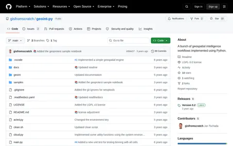
Python package for geospatial intelligence workflows, location data, and map-based OSINT tasks.

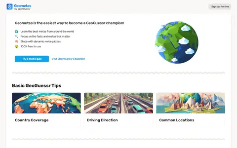
Geometas is a site for finding GeoGuessr metas from Google Street View around the world and testing knowledge with quizzes. It lists metas by categories such as bollards, cars, license plates and street signs, and by regions including the Baltics, Nordics, Eastern Europe and Latin America. It also offers basic GeoGuessr tips and is described as free to use.

The official wiki for the Geometry Dash series by RobTop Games, documenting base-game and community content. It has grown from player contributions since 14 January 2014 and invites registration to edit and track contributions.

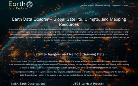
GEON is a guide to Earth observation data and mapping tools. It points to resources including satellite imagery, terrain data, atmospheric datasets, and tools such as NASA Worldview, Google Earth, and the Shuttle Radar Topography Mission (SRTM) dataset. It hosts an Earth Data Explorer that serves as a central hub for global Earth science data resources used in science, education, and environmental planning.

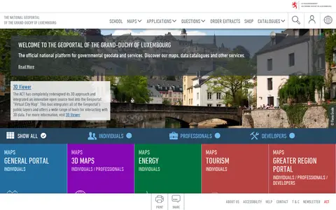
The national geoportal of the Grand-Duchy of Luxembourg is the official platform for governmental geodata and services. It provides maps, data catalogues, a 3D viewer and thematic portals, including energy, tourism, environment and the Greater region. Plugins let QGIS and ArcGIS Pro users search for a location, choose a basemap and add map layers or vector data.

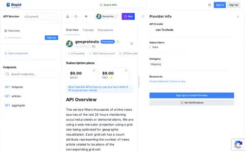
API for accessing geolocated protest and unrest data for maps, analysis, and research workflows.

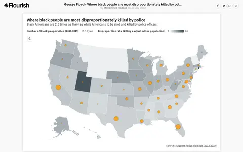
An interactive Flourish data visualisation by Mohammed Haddad, published 31 May 2020, showing where black people are most disproportionately killed by police. It uses a projection map template from the Flourish team and is hosted on the Flourish platform for interactive data visualisation and storytelling.

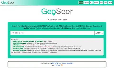
GeoSeer is a search engine for spatial web services. It is used to find WMS, WFS, WCS, and WMTS datasets for use within a GIS. The site states that searches cover over 3.5 million distinct spatial datasets hosted on over 400,000 live services worldwide. Search options include service type, EPSG code preference, exact phrases, exclusions, and boolean logic.
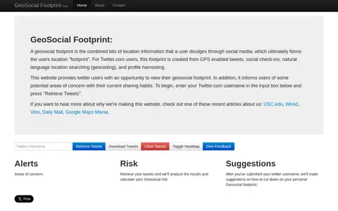
GeoSocial Footprint is an educational demonstration site that lets Twitter users view the location information they disclose and highlights potential areas of concern with their sharing habits. It retrieves public tweets and analyzes them to calculate a geosocial risk, then offers suggestions for reducing a user's geosocial footprint.

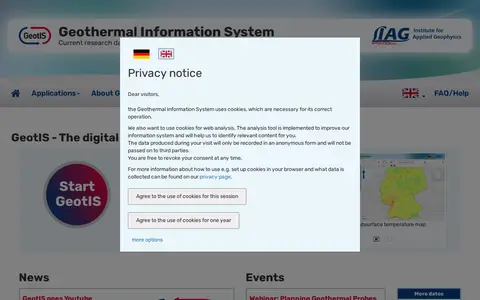
GeotIS is a free digital information system about geothermal energy in Germany, developed by the LIAG Institute for Applied Geophysics with universities, research institutions and companies on behalf of the German Bundestag. It presents subsurface models and offers maps, statistics and tools for investigating geothermal potential, from initial overview to calculation of possible returns.
GeoTips is a resource offering tips and tricks for the GeoGuessr game. It is described as made by a selected team of players in the GeoGuessr community, all for free. Country pages list metagame clues such as Street View camera generations, Street View car features, sun position and driving side.
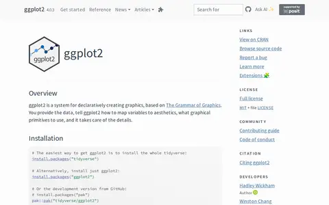
ggplot2 is a system for declaratively creating graphics, based on The Grammar of Graphics. Users provide the data and specify how variables map to aesthetics and which graphical primitives to use, and the system handles the details. It is described as over 10 years old, and installation is available through the tidyverse or as a standalone package.

Gifu University is described on its official website as a national university corporation of the Tokai National Higher Education and Research System. The site provides information on the university, faculties and graduate schools, affiliated facilities, education and research, and event information, along with access, admissions, careers and campus map pages.

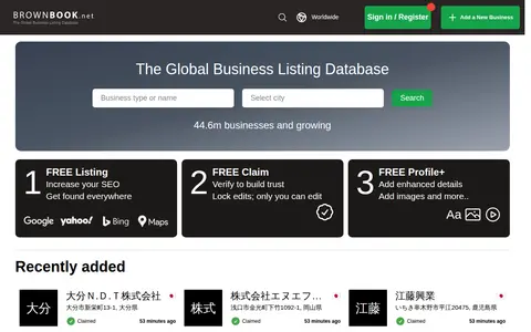
Brownbook is a global business listing database. It offers free business listings for search engine optimization and to help businesses get found on search engines including Google, Yahoo, Bing, Ask, and AOL. Users can also use free claim and free profile options to add enhanced details and images to their listings. The database contains over 44.6 million businesses and is growing.
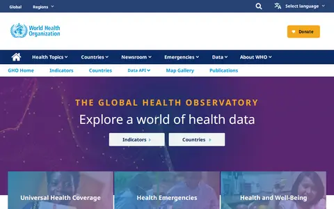
The Global Health Observatory data repository is the World Health Organization's gateway to health-related statistics for its 194 Member States, providing access to over 1000 health topic indicators through indicators, countries, a data API and a map gallery. COVID-19 data is not currently provided by the GHO APIs.
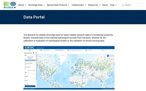
The GRDC Data Portal is a web-based tool for searching and visualising runoff stations and time series data in map and table view. Users select stations, regions, subregions or countries and download data in six formats, with optional subregion or watershed boundaries. Hydrological data are released only for research purposes; commercial use and redistribution are not allowed.

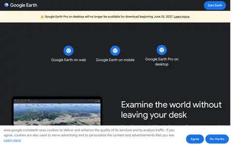
Google Earth is available on web, mobile and desktop. On mobile it allows users to browse the globe, add placemarks and annotate maps. On desktop, Google Earth Pro offers advanced tools including importing and exporting GIS data and viewing historical imagery, on PC, Mac or Linux.

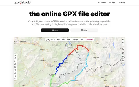
GPX Studio edits, merges, cleans, and visualizes GPS tracks and route files in the browser.

Grim Dawn Tools is a collection of tools for the action role-playing game Grim Dawn. The site lists a build calculator, world map, checklist, item database, monster database, and pet database, plus sections for modifications including Reign of Terror, Diablo 3 Classes, and GD League Season 7. It states it is not affiliated with Crate Entertainment.
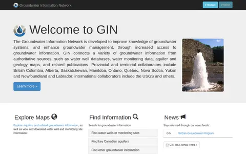
Groundwater Information Network (GIN) is a resource for exploring and accessing groundwater data. It provides maps for exploring aquifers and related groundwater information, and allows users to view and download water well and monitoring site information.

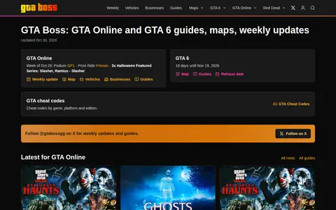
GTA Boss is a site covering GTA Online and GTA 6 with news, guides, maps and weekly updates. It shows a GTA 6 release countdown and lists GTA Online weekly discounts. Published items include a GTA Online weekly update, ghost locations and a Halloween event, plus GTA 6 guides on businesses, release date and characters.

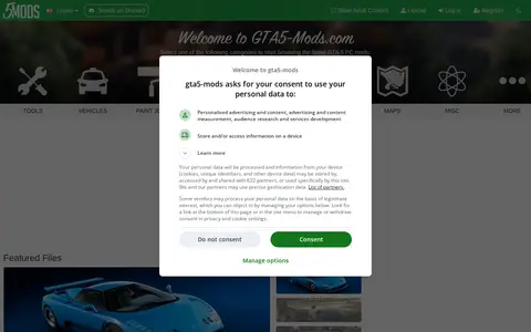
GTA5-Mods.com is a site for browsing and downloading Grand Theft Auto 5 PC mods, organized into categories such as tools, vehicles, paint jobs, weapons, scripts, player and map mods. It lists featured, latest, most liked and most downloaded files.

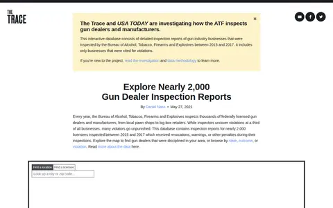
Gun Dealer Inspections is a database from The Trace for searching inspection reports of federally licensed gun dealers. It contains reports for nearly 2,000 licensees inspected between 2015 and 2017 that received revocations, warnings or other penalties. Users can explore a map or browse by state, outcome or violation.