
Directory

Search results

Published directory entries matching your search.

Search results

30 listings
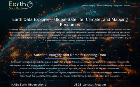
geongrid.org

GEON is a guide to Earth observation data and mapping tools. It points to resources including satellite imagery, terrain data, atmospheric datasets, and tools such as NASA Worldview, Google Earth, and the Shuttle Radar Topography Mission (SRTM) dataset. It hosts an Earth Data Explorer that serves as a central hub for global Earth science data resources used in science, education, and environmental planning.

Dataset & Data Search 0

The Polar Geospatial Center at the University of Minnesota provides geospatial support, mapping, and GIS and remote sensing solutions to researchers and logistics groups in the polar science community. It maintains a library of commercial satellite imagery, elevation models, and a historical and contemporary map catalog, and offers browser-based tools for accessing polar data.

Dataset & Data Search 0
spacefromspace.com

SpaceFromSpace is an archive of satellite imagery that includes declassified Cold War reconnaissance photographs and modern spaceport views. Images are stitched and georeferenced from raw USGS datasets and presented on interactive maps, with galleries covering declassified, spaceport and recently added scenes.

Space & Astronomy 0
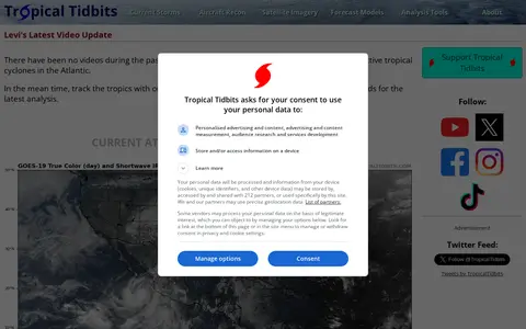
tropicaltidbits.com

Tropical Tidbits provides tropical weather and Atlantic hurricane information, analysis and forecasts, presented by Levi Cowan. The site includes sections for current storms, aircraft reconnaissance, satellite imagery, forecast models and analysis tools.

Maps & Navigation 0
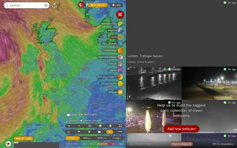
windy.com

Windy Webcams is a service that provides worldwide animated weather maps, wind and wave forecasts, weather radar, satellite imagery, and aviation weather data including METAR, TAF and NOTAM reports for various user groups.

Fun & Interesting 0
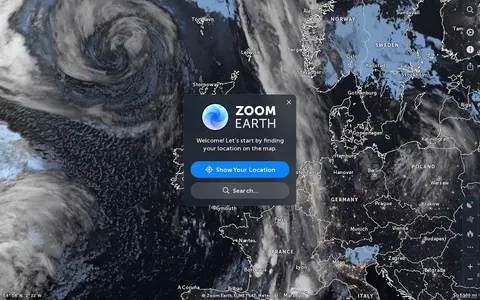
zoom.earth

Zoom Earth is an interactive weather map of the world showing rain, wind, temperature and pressure, with forecasts for a selected location. It also offers satellite imagery, rain radar updated in near real time, hurricane and storm tracking, and wildfire and smoke monitoring. Mobile apps are available for iPhone, iPad and Android.

Maps & Navigation 0