The SPARC Portal is an open community platform for neuroscience and systems physiology data, computational and spatial modeling, and device design. It offers an interactive map of neural pathways, a catalog of datasets and models, and applications such as anatomical connectivity flatmaps and the o²S²PARC simulation platform.
Directory
Search results
Published directory entries matching your search.
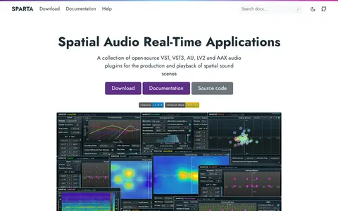
SPARTA is a collection of open-source audio plug-ins for spatial audio production and playback, distributed in VST, VST3, AU, LV2 and AAX formats for MacOS, Linux and Windows. The plug-ins support ambisonic processing up to tenth order, and the binaural decoders can load custom HRTFs via SOFA files and support head-tracking via OSC messages.
The State of Idaho GIS Hub is an ArcGIS Hub site for exploring authoritative data, maps, applications and tools developed by Idaho's State Agencies. It also helps users find and explore authoritative datasets that are part of the Idaho Spatial Data Infrastructure (Idaho SDI).
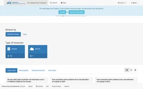
Dataset repository covering biology, with searchable geospatial data.
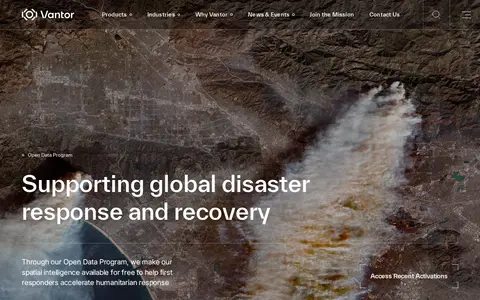
Vantor's Open Data Program provides free satellite imagery and spatial intelligence to first responders for disaster response and recovery. Imagery is released before and after events into the public domain under a Creative Commons BY-NC 4.0 license. The program activates when a sudden onset disaster is categorized as major and a Vantor FirstLook event service has been activated.
Viggle is a Spatial GenAI platform built on a physics-native world model. Its tools cover motion capture, character animation and video remix, and its API lets products add character swapping and motion capture. The JST-2 model generates characters, motion and 3D scenes from one architecture.
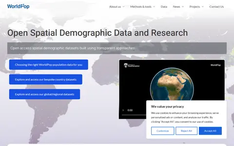
WorldPop is a geospatial and population research project that develops and provides open access, high-resolution spatial demographic datasets and solutions, with a focus on low- and middle-income countries. The project creates peer-reviewed research and methods for constructing these datasets, and offers access to bespoke country-level and global or regional datasets, along with tools including an API and GIS plugins.
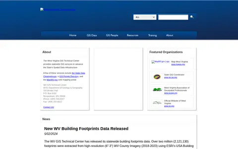
The West Virginia GIS Technical Center provides statewide GIS services to support the State's Spatial Data Infrastructure. Its services include the State Data Clearinghouse, a GIS People Directory and the MapWV.gov web mapping portal. The center publishes ArcGIS REST services for public use and offers individual datasets for download from the data clearinghouse. Files are archived and compressed into a single zip file for downloading.