
Directory

Search results

Published directory entries matching your search.

Search results

835 listings
data.sa.gov.au

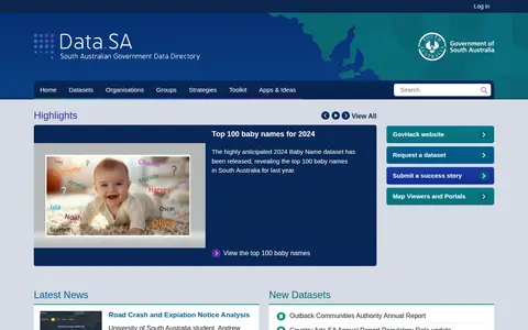
Data.SA is a South Australian government portal that presents open datasets such as the top 100 baby names and COVID-19 information. It also offers dataset requests, success stories, and map viewers, and notes that Land Services SA provides land titling, valuation, and cadastral data access.
Dataset & Data Search 0
data2-bourgesplus.opendata.arcgis.com

ArcGIS Hub site for Bourgesplus data allows users to discover, analyze, and download datasets in formats including CSV, KML, Zip, GeoJSON, GeoTIFF, and PNG. It provides API links for GeoServices, WMS, and WFS, and supports creation of StoryMaps and Web Maps for data visualization.

Dataset & Data Search 0
datamaps.github.io

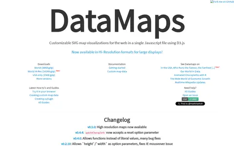
DataMaps is a jQuery plugin for geographical map data visualizations using d3.js and SVG. The page lists changelog entries, including high resolution maps in v0.5.0 and a reset option parameter for updateChoropleth in v0.4.4.

AI Data & Analytics 0
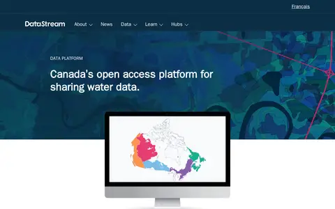
datastream.org

DataStream is an open access platform for sharing water and sediment quality data. It offers map-based search, interactive visualizations, standardized machine-readable datasets, dataset versioning, digital object identifiers, embargo periods and API access for integrating data with other websites and tools. A one-click charting tool allows comparison of results with national water quality guidelines.

Dataset & Data Search 0
Preview unavailable
deletedcity.net

An interactive web map that visualizes the 650 gigabyte Geocities backup made by the Archive Team on October 27, 2009. It arranges file-system neighborhoods and individual lots by file count, showing relative sizes when viewed in full and individual HTML pages when zoomed. Based on the 2012 installations The Deleted City 1.0 and 2.0.

Curated Directories 0
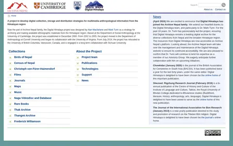
digitalhimalaya.com

Digital Himalaya is a digital archive of multimedia ethnographic information from the Himalayan region, including Nepal, Tibet and India. It was designed to develop digital collection, storage and distribution strategies for multimedia anthropological information and holds collections such as journals, maps, music and films. It is now part of the Archive Nepal family.

Academic & Research Search 0

Digitale Landesbibliothek Berlin is the digital library operated by the Zentral- und Landesbibliothek Berlin. It provides access to digitized collections focused on Berlin, including historical address directories, early 1900s photographs, urban studies materials, statistical reports, journals, maps and other regional resources. The service offers search and browsing functionality, a virtual reading room, options for downloading and reusing content, and public crowdsourcing participation opportunities.

Academic & Research Search 0
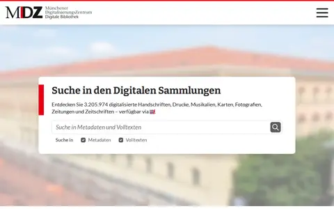
digitale-sammlungen.de

The Digitale Sammlungen is the online portal of the Münchener DigitalisierungsZentrum (MDZ), which since 1997 has brought holdings of the Bayerische Staatsbibliothek to the internet. The site offers search across digitised manuscripts, prints, music, maps, photographs, newspapers and journals, available via IIIF. It also lists selected collections and data services such as download options and interfaces.

Dataset & Data Search 0
Preview unavailable
discover.digitalglobe.com

DigitalGlobe discovery tools help explore satellite imagery, geospatial data, and earth observation resources.

Maps & Navigation 0
directsearch.net

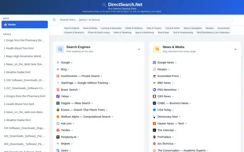
DirectSearch.Net is a hand-curated web directory that provides links to high-quality web content across categories including search engines, news, learning resources, health information, job listings, travel content, maps and additional topics. The service does not display advertisements and does not use algorithms to sort or select its listed links.

Search Engines & Tools 0

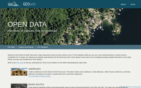
The District of North Vancouver’s Open Data portal, known as GEOweb, is the district's GIS website. It provides public access to mapping, land, environmental, zoning, building and other information stored in the district's geographic information system via an intuitive interface designed to inform and empower users.

Dataset & Data Search 0
gis-midnr.opendata.arcgis.com

Open data portal depending on ArcGIS.

Dataset & Data Search 0
kool.tools

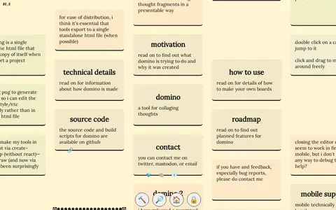
Domino is a tool for collaging thoughts, presenting a spatial arrangement of cards that can form an essay, mind map, or collage. Users click and drag to navigate the board, double-click cards to jump to them, and can edit content by toggling unlocked mode.

Text Editors & Formatting 0
doomwadstation.net

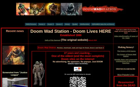
Doom Wad Station is an archive of WADs, maps, total conversions and reviews for Doom, Doom II, Doom III and Doom 4. It also offers installation guides, utilities and cheat codes. The site states it was established in 1998.

Game-Specific Tools 0
Preview unavailable
downdetector.com

Service outage tracker with user reports, status graphs, and problem maps for online services.

URL & Link Tools 0
darkridedatabase.com

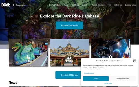
Dark Ride Database is a site collecting information about dark rides, with sections for rides, parks, companies, news and specials. It includes a world map, search, random rides and news items about attractions and manufacturers.

Travel Resources 0
wfitch.bio.uci.edu

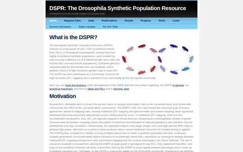
The Drosophila Synthetic Population Resource (DSPR) is a panel of over 1,700 recombinant inbred lines of Drosophila melanogaster, derived from two synthetic populations intercrossing eight inbred founder lines each. It serves as a community resource for high-resolution QTL mapping, with genome sequence data for founders and a genetic map for each line.

Dataset & Data Search 0
crawl.develz.org

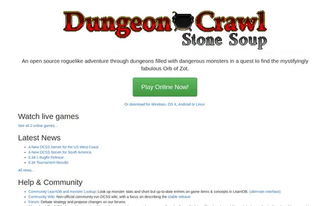
Dungeon Crawl Stone Soup is an open source roguelike adventure set in dungeons, with the goal of finding the Orb of Zot. It can be played online or downloaded for Windows, OS X, Android or Linux.

Browser & Online Games 0
dungeonscrawl.com

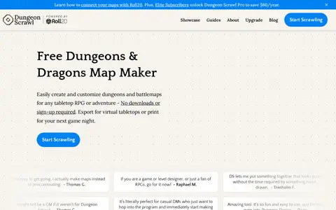
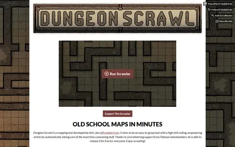
Dungeon Scrawl is a free online mapmaking tool for tabletop RPGs such as Dungeons & Dragons. Maps can be exported as PNG, WebP or PDF. A Pro plan at $5 per month adds cloud autosave, commercial use, high-resolution export and lighting effects.

Game-Specific Tools 0
probabletrain.itch.io

Dungeon Scrawl is a grid-based mapping tool developed by Keir (@ProbableTrain) for creating tabletop battle maps. It offers style presets, brushes and layers, multi-page PDF export with real-world grid sizing, and TSV import of dungeons generated with Donjon. Maps can be exported for use in virtual tabletops such as Roll20. It is free and listed as in development.

Game-Specific Tools 0
Preview unavailable
dungeonfog.com

DungeonFog is an online TTRPG map editor for creating custom battle and world maps for games such as Dungeons & Dragons, Pathfinder and Cthulhu. Users draw dungeons, buildings or overland terrain maps and populate them with assets, then export or print them or play inside DungeonFog. The asset library holds over 3,000 assets.

Game-Specific Tools 0
eatlas.org.au

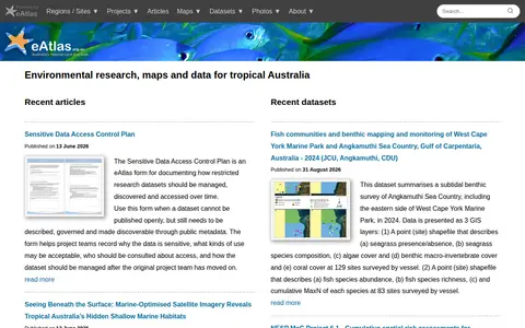
eAtlas is a source for environmental research, maps and data about tropical Australia. It lists recent articles and datasets, including marine habitat surveys, satellite imagery composites, coastal photogrammetry, and a form for documenting access to restricted research data.

Dataset & Data Search 0
earth.nullschool.net

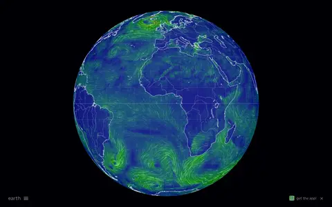
Interactive global map showing wind, weather, ocean, and atmospheric conditions using live model data.

Maps & Navigation 0
github.com

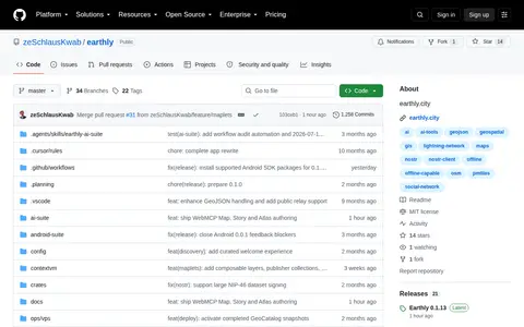
)![stars](https://img.shields.io/github/stars/moogmodular/earthly.svg?style=social) - A social geojson editor with maps on Nostr

Nostr 0