
Directory

Search results

Published directory entries matching your search.

Search results

400 listings

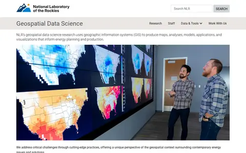
NLR's geospatial data science research uses geographic information systems (GIS) to produce maps, analyses, models, applications, and visualizations that inform energy planning and production. The work offers a geospatial perspective on contemporary energy issues and solutions.

Dataset & Data Search 0

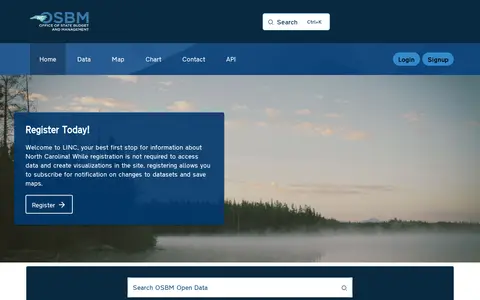
The North Carolina Open Data Portal is operated by the North Carolina Office of State Budget and Management (OSBM). It provides public access to state datasets, with features including data maps, charts, and API access.

Dataset & Data Search 0
Preview unavailable
thunderstore.io

Northstar is a Titanfall 2 modding and custom server framework listed on Thunderstore, a mod database and API for downloading Titanfall 2: Northstar mods. The listing catalogs packages across categories such as client-side mods, custom menus, maps, models, server-side mods and skins.

Game Servers & Multiplayer 0
october7files.com

A website presenting documents and evidence about the October 7 attack, including operation orders, captured maps, and manuals. Sections cover Hamas's background, exploitation of civilian infrastructure, and documentation of the massacre by security forces, rescue teams, and press.

Academic & Research Search 0
dpla-okhub.library.okstate.edu

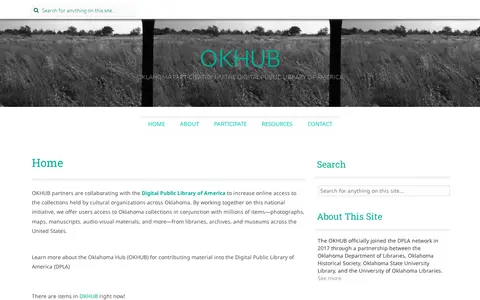
OKHUB is Oklahoma's participation in the Digital Public Library of America. Partners collaborate with DPLA to increase online access to collections held by cultural organizations across Oklahoma, offering users Oklahoma collections alongside millions of items such as photographs, maps, manuscripts, and audio-visual materials from libraries, archives, and museums across the United States.

Academic & Research Search 0
opencontext.org

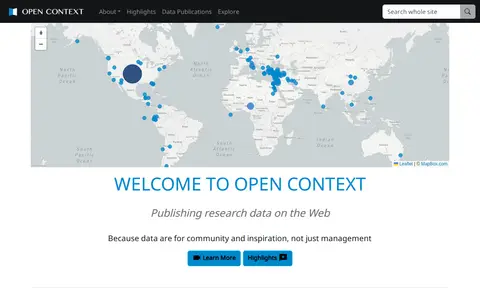
Open Context is a publishing service for archaeological and related research data, including images, maps, field notes and 3D models. It explains publishing of field documentation and data, faceted search and map-based visualization, and data download. It charges a one-time fee for publishing services, with project tiers such as a small project at $350.

Dataset & Data Search 0

Open Data Portal - City of Kelowna is the municipal open data portal for the City of Kelowna. It provides access to local municipal open data, maps, applications and stories. Users can download City of Kelowna GIS data, build applications using available resources, and participate in efforts to solve local community issues.

Dataset & Data Search 0
unstats-undesa.opendata.arcgis.com

Open SDG Data Hub is an ArcGIS Hub platform focused on dataset discovery and access. It allows users to discover, analyze and download data in formats including CSV, KML, Zip, GeoJSON, GeoTIFF and PNG. The platform provides API links for GeoServices, WMS and WFS, and supports the creation of StoryMaps and Web Maps for data visualization.

Dataset & Data Search 0
open-loiret.opendata.arcgis.com

open-loiret.opendata.arcgis.com is an ArcGIS Hub site that provides access to geospatial datasets. Users can discover, analyze and download data in formats including CSV, KML, Zip, GeoJSON, GeoTIFF and PNG. The site offers API links for GeoServices, WMS and WFS, and supports the creation of StoryMaps and Web Maps.

Dataset & Data Search 0
opendronemap.org

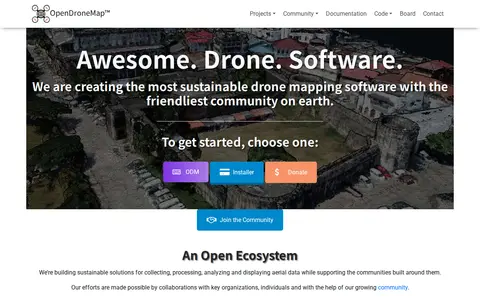
OpenDroneMap is drone mapping software that generates maps, point clouds, 3D models and DEMs from images taken by any camera in any orientation. Its ecosystem includes ODM, a command line toolkit for processing aerial images from drones, balloons or kites, plus NodeODM, CloudODM, PyODM, ClusterODM and other projects.

Science & Mathematics 0
ni-lgln-opengeodata.hub.arcgis.com

OpenGeoData.NI, also referred to as OpenGeoData Niedersachsen, is a platform for discovering, analyzing and downloading geospatial data. It offers data downloads in formats including CSV, KML, Zip, GeoJSON, GeoTIFF and PNG, provides API links for GeoServices, WMS and WFS, and supports data analysis and the creation of StoryMaps and web maps.

Dataset & Data Search 0
openmaptiles.org

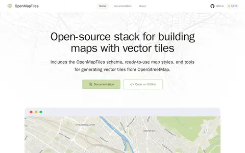
OpenMapTiles is an open-source stack for building world maps with OpenStreetMap vector tiles. It includes a vector tile schema, ready-to-use map styles, and tools for generating vector tiles. It works with MapLibre GL, Leaflet, OpenLayers, GIS, and WMTS. The project was created by MapTiler, which maintains the schema and tools.

Maps & Navigation 0
openscope.io

openScope is a free and open source air traffic control simulator. The interface references arrivals, overflights, departures, fixes and runways, SID and STAR displays, airspace depiction, restricted areas, terrain, video maps, settings, speech, traffic, an airport guide, commands, a tutorial, a changelog and chat.

Fun & Interesting 0
openstreetmap.org

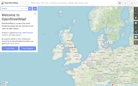
OpenStreetMap is a map of the world created by contributors and free to use under an open license. The site offers help resources, including a beginners' guide, a community forum, mailing lists and a wiki.

Maps & Navigation 0
opensupplyhub.org

Open Supply Hub is an open map where brands, suppliers, and advocates search, share, and collaborate on supply chain data. It maps production locations, assigns each location a universal OS ID, and standardizes shared data for matching. Suppliers can claim and verify their location on a free supplier database, and the platform is described as a Digital Public Good.

Dataset & Data Search 0
opentracksapp.com

OpenTracks is an open-source sport tracking application described as completely respecting privacy. Its features include elevation gain estimates, Bluetooth LE heart rate sensors, photos and markers during tracking, online and offline maps, and map theming. A pure offline version without internet permission is available via F-Droid. The app contains no in-app analytics and no cloud integration.

Health & Fitness 0
osintessentials.com

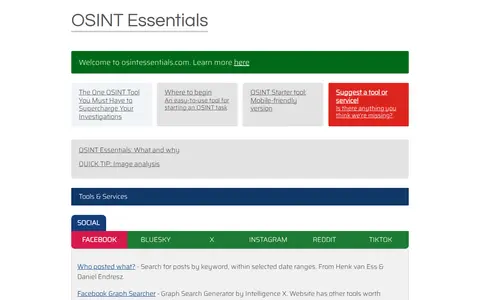
Curated OSINT toolkit with links for people search, social media, maps, domains, and research.

Research & Discovery Tools 0
osintracker.com

Osintracker is a browser-based OSINT investigation platform. It maps entities and their relationships in an interactive graph and stores all investigation data locally. Users can run matched OSINT resources and import connector results to expand the graph, then export to HTML, Markdown, CSV, JSON or PNG.

Research & Discovery Tools 0
osni-spatial-ni.opendata.arcgis.com

ArcGIS Hub site for discovering, analyzing and downloading data. It supports downloads in CSV, KML, Zip, GeoJSON, GeoTIFF and PNG formats, provides API links for GeoServices, WMS and WFS, and offers analysis with charts and thematic maps.

Dataset & Data Search 0
ozoneaq.gsfc.nasa.gov

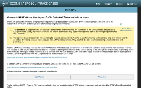
The Ozone Mapping and Profiler Suite is a NASA resource focused on ozone and atmospheric composition data. It provides access to data and products related to ozone, aerosols, trace gases, reflectivity maps and cloud products, alongside publications, instrument status updates and educational materials. The suite covers data from instruments including TOMS, BUV-SBUV-SBUV/2 and sensors on the S-NPP, NOAA-20 and NOAA-21 satellites.

Dataset & Data Search 0

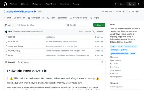
Fixes the bug which forces a player to create a new character when they already have a save. Useful for migrating maps from co-op to dedicated servers and from one dedicated server to another.

Steam Communities 0
pin.geosciences.ca

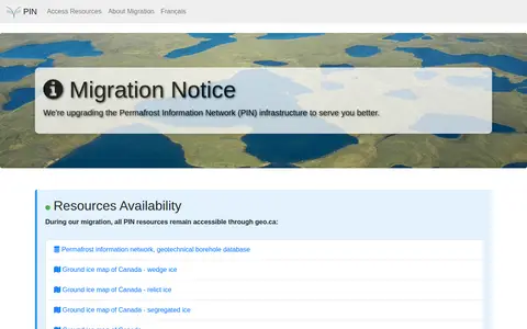
The Permafrost Information Network is an online resource covering permafrost topics. A migration notice states that the network's infrastructure is being upgraded and that its resources remain accessible through geo.ca during the migration. Listed resources include the permafrost information network, a geotechnical borehole database, and ground ice maps of Canada for wedge ice, relict ice, and segregated ice.

Dataset & Data Search 0

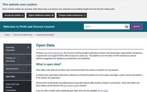
The Perth & Kinross Council Open Data portal, through Open Perth and Kinross, publishes council data as open data. The council states it is freeing up data to generate economic and social value, promote transparency in governance and support Perth's effort to become a smart city. The platform covers the whole of Perth and Kinross, offers maps and graph visualisation tools, and welcomes suggestions for datasets.

Dataset & Data Search 0
bpatrik.github.io

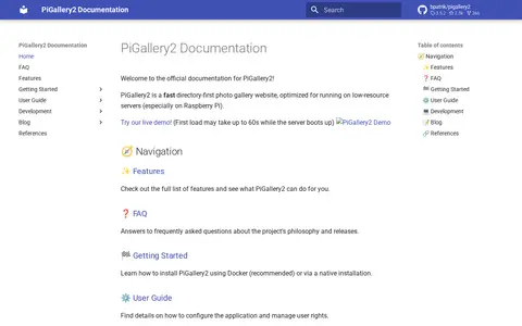
PiGallery2 is a self-hosted directory-first photo gallery website optimized for low-resource servers, especially Raspberry Pi. It offers a photo viewer with an information panel, maps using photo location data, and advanced searching with boolean logic, negation, exact and wildcard matching. Installation is possible via Docker or native setup.

Image Tools & Resources 0