
developers.google.com
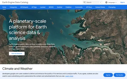
Google Earth Engine catalog of satellite imagery, climate data, land cover, and geospatial datasets.
Directory
Published directory entries matching your search.
Google Earth Engine catalog of satellite imagery, climate data, land cover, and geospatial datasets.

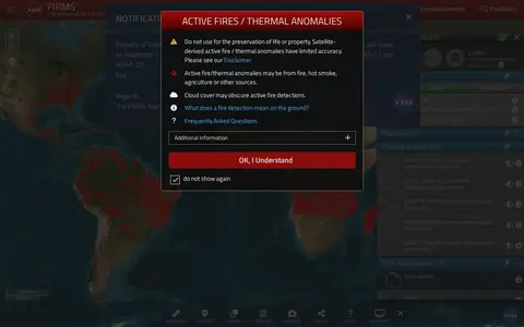
NASA FIRMS map shows satellite-detected fires, hotspots, and fire activity around the world.

Google Maps provides maps, directions, satellite views, business listings, street views, and location search.

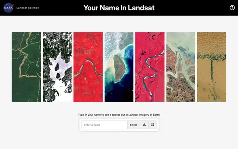
Your Name in Landsat is an interactive NASA and USGS tool that spells a typed name using Landsat satellite imagery of Earth, letter by letter, and allows sharing the resulting image. The satellite images come from Landsat's record spanning more than 50 years.