
skyscanner.com
Travel search engine for comparing flights, routes, airlines, hotels, and car rentals.
Directory
Search published websites, apps and repositories.
Travel search engine for comparing flights, routes, airlines, hotels, and car rentals.

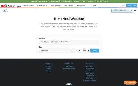
Weather Underground archive for checking historical weather, station data, and past conditions.

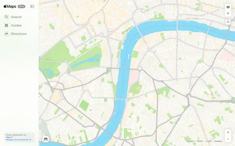
Apple Maps helps discover apps, SaaS products, no-signup tools, clones, or software alternatives.

CarNet.AI is a car make and model recognition API. The service reports recognizing the make, model and generation of most cars built since 1995. API access is obtained by messaging the service through its contact form. The company states it has data on 300 car brands and 3100+ models.
Vessel tracking platform with AIS data, ship databases, port calls, and maritime intelligence.

Geolocation OSINT tool for collecting location clues from social media and online sources.

ArcGIS map showing ICAO civil and military airspace layers and aviation-related boundaries.
Property record search site for finding addresses, home history, residents, and real estate data.
Scanner map for finding public radio feeds, calls, and communication activity by location.

Timeanddate weather page for checking temperatures, forecasts, and conditions by city.

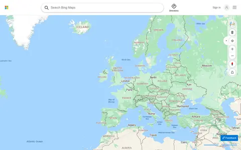
Bing Maps provides web maps, directions, traffic views, aerial imagery, and place search.
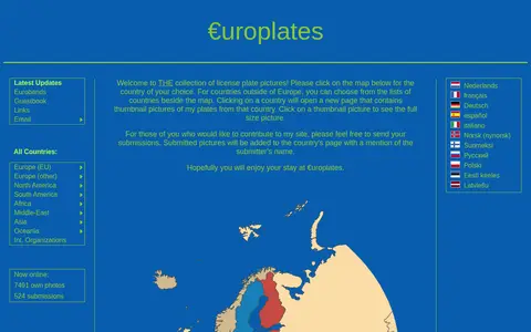
Reference site for European license plates, formats, country codes, and registration styles.

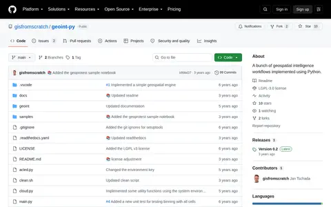
Python package for geospatial intelligence workflows, location data, and map-based OSINT tasks.

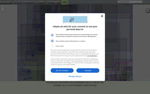
A site showing live shipping movements from AIS, along with a webcam looking over the River Mersey and Liverpool Bay. It includes pan-and-zoom map controls for mobile and desktop, a simpler map list, and options such as prediction time, oversize vessels, and vessel labels that apply after a page refresh.

Wi-Fi hotspot directory for finding public wireless access points by location.

Real estate marketplace for searching homes, rentals, property estimates, and neighborhood details.

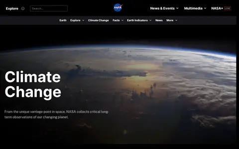
Earth Now is a miscellaneous web resource for discovery, directories, archives, web culture, or useful tools.

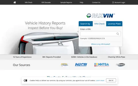
FAXVIN provides instant vehicle history reports covering title history, accident records and odometer readings. Reports may draw on licensed data providers and official databases, and coverage varies by vehicle, jurisdiction and source. A report is not a substitute for a physical inspection or independent verification. FAXVIN reports also include a 0–100 vehicle history metric called CarRank.

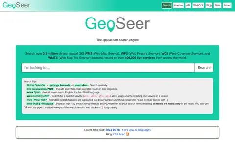
GeoSeer is a search engine for spatial web services. It is used to find WMS, WFS, WCS, and WMTS datasets for use within a GIS. The site states that searches cover over 3.5 million distinct spatial datasets hosted on over 400,000 live services worldwide. Search options include service type, EPSG code preference, exact phrases, exclusions, and boolean logic.

Cruise ship tracking map for viewing vessel positions, routes, and port movements.

Wi-Fi map and hotspot finder for discovering public internet access points around the world.
UK property portal for searching homes, rentals, sold prices, and area information.

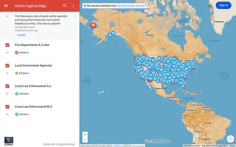
Google map showing active agency locations, activity, or organizational presence by place.

Broadcastify's browse page lists live audio feeds from around the world, organized by country and by state within the United States. It reports 7,292 live audio feeds, including country totals and feed counts for each state.