



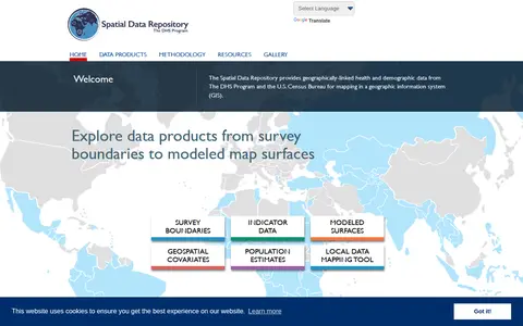
The Spatial Data Repository provides geographically linked health and demographic data from The DHS Program and the U.S. Census Bureau for mapping in a geographic information system. Data products include survey boundaries, indicator data, modeled map surfaces, geospatial covariates, population estimates, and a local data mapping tool.
Virtual Fly Brain
Virtual Fly Brain is an interactive tool for neurobiologists to explore the neuroanatomy, neuron connectivity and gene expression of Drosophila melanogaster. It integrates neuroanatomical and expression data from published literature and image datasets onto the same brain template, enabling cross searches, finding similar neurons and comparing image data in a 3D Viewer.
Features
- compare image data on our 3D Viewer Source: virtualflybrain.org
Links
Tags
-
0
The Spatial Data Repository provides geographically linked health and demographic data from The DHS Program and the U.S. Census Bureau for mapping in a geographic information system. Data products include survey boundaries, indicator data, modeled map surfaces, geospatial covariates, population estimates, and a local data mapping tool.
-
0Search computer data collections and supporting image from COL.
-
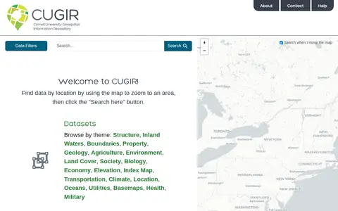
0CUGIR is a repository offering datasets and scanned maps. Datasets can be browsed by theme or found by zooming a map to an area and clicking a search button. Themes include boundaries, geology, agriculture, land cover, transportation, climate and elevation. The scanned maps section provides access to all map holdings.
-
0The Cross-National Equivalent File is a household panel data package of equivalently defined variables for 9 general population household panel surveys. It harmonizes and makes available cross-national panel data for social science research, with country-specific data offered online through the CNEF-Investigator platform. Access requires an application.
-
0
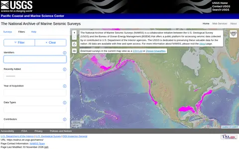
The National Archive of Marine Seismic Surveys is a USGS data website presenting marine seismic reflection data within the United States. Visitors can click the map to select nearby surveys, mouse over survey names to highlight surveys, filter surveys by keyword and open individual survey pages for data and information.
-
0The Environmental Data Initiative preserves and provides open access to environmental and ecological data, with information-rich metadata and a secure, persistent archive. It supports publishing and reusing data through tools, a REST API for workflow automation, and personalized data catalogs. Authentication for API access becomes required on July 30, 2026.
Community notes
Reviews and discussion
No reviews yet
Be the first to share how this project worked for you.
Join the discussion
Sign in with a verified account to leave a review or join the discussion.
Sign in to review