
papyrus-datos.co
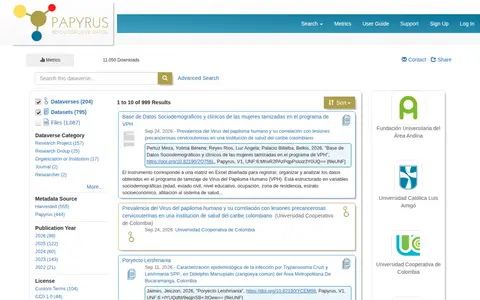
Search computer data collections and supporting image from COL.

Browse public datasets, metadata and downloadable records in an open catalog.

Search computer data collections and supporting image from COL.
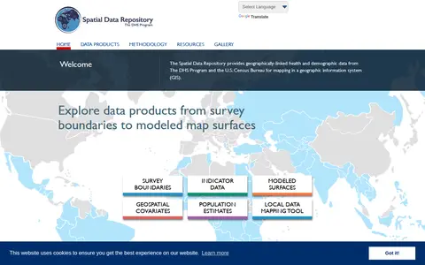
The Spatial Data Repository provides geographically linked health and demographic data from The DHS Program and the U.S. Census Bureau for mapping in a geographic information system. Data products include survey boundaries, indicator data, modeled map surfaces, geospatial covariates, population estimates, and a local data mapping tool.

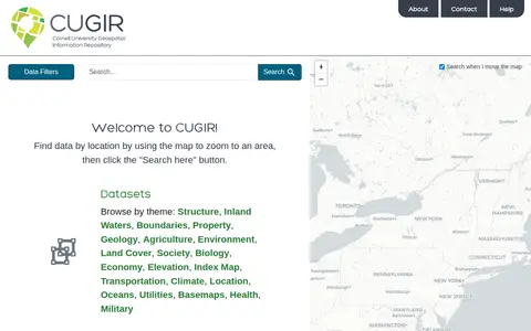
CUGIR is a repository offering datasets and scanned maps. Datasets can be browsed by theme or found by zooming a map to an area and clicking a search button. Themes include boundaries, geology, agriculture, land cover, transportation, climate and elevation. The scanned maps section provides access to all map holdings.

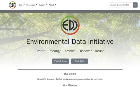
The Environmental Data Initiative preserves and provides open access to environmental and ecological data, with information-rich metadata and a secure, persistent archive. It supports publishing and reusing data through tools, a REST API for workflow automation, and personalized data catalogs. Authentication for API access becomes required on July 30, 2026.

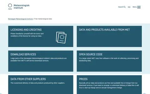
The Norwegian Meteorological Institute offers free access to much of its meteorological data and products through self-service download services. Customised delivery of data from other suppliers is also described, with charges for such arrangements.

The General Social Survey is a survey project whose 2024 cross-section data is available with a multi-mode design. The data, collected between April and December 2024, include historically repeated measures and new data on digital societies, national identity and citizenship, and mental health stigma.
Community notes
Be the first to share how this project worked for you.
Sign in with a verified account to leave a review or join the discussion.
Sign in to reviewKeep exploring
Search computer data collections and supporting image from COL.
The Spatial Data Repository provides geographically linked health and demographic data from The DHS Program and the U.S. Census Bureau for mapping in a geographic information system. Data products include survey boundaries, indicator data, modeled map surfaces, geospatial covariates, population estimates, and a local data mapping tool.
CUGIR is a repository offering datasets and scanned maps. Datasets can be browsed by theme or found by zooming a map to an area and clicking a search button. Themes include boundaries, geology, agriculture, land cover, transportation, climate and elevation. The scanned maps section provides access to all map holdings.
The Environmental Data Initiative preserves and provides open access to environmental and ecological data, with information-rich metadata and a secure, persistent archive. It supports publishing and reusing data through tools, a REST API for workflow automation, and personalized data catalogs. Authentication for API access becomes required on July 30, 2026.
The Norwegian Meteorological Institute offers free access to much of its meteorological data and products through self-service download services. Customised delivery of data from other suppliers is also described, with charges for such arrangements.
The General Social Survey is a survey project whose 2024 cross-section data is available with a multi-mode design. The data, collected between April and December 2024, include historically repeated measures and new data on digital societies, national identity and citizenship, and mental health stigma.