
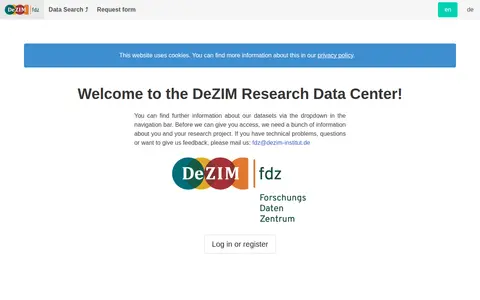
The DeZIM Research Data Center provides information about its datasets through a navigation dropdown. Access requires submitting information about the user and the research project, and technical problems, questions or feedback can be sent by email.
InGeoCloudS
Search agriculture, forestry and veterinary medicine data collections and supporting datasets from FRA.
Links
Tags
-
0
The DeZIM Research Data Center provides information about its datasets through a navigation dropdown. Access requires submitting information about the user and the research project, and technical problems, questions or feedback can be sent by email.
-
0
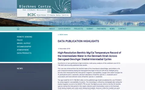
The Bjerknes Climate Data Centre (BCDC) is a platform for accessing and submitting climate and Earth system data. It hosts datasets across categories including remote sensing, paleo data, model output, oceanography, and atmospheric science. The centre publishes data highlights, lists partner organizations, and provides access to associated research outputs for its hosted datasets.
-
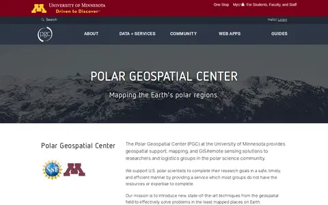
0The Polar Geospatial Center at the University of Minnesota provides geospatial support, mapping, and GIS and remote sensing solutions to researchers and logistics groups in the polar science community. It maintains a library of commercial satellite imagery, elevation models, and a historical and contemporary map catalog, and offers browser-based tools for accessing polar data.
-
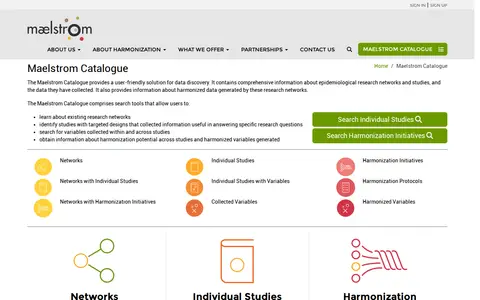
0The Maelstrom Catalogue is a data discovery tool holding information about epidemiological research networks, studies, the data they collected, and harmonized data from those networks. Its search tools let users learn about networks, identify studies with targeted designs, search variables within and across studies, and find information on harmonization potential and harmonized variables.
-
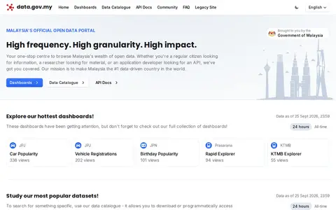
0Browse public datasets, metadata and downloadable records in an open catalog.
-
0
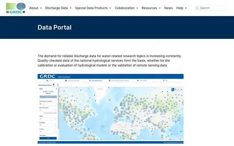
The GRDC Data Portal is a web-based tool for searching and visualising runoff stations and time series data in map and table view. Users select stations, regions, subregions or countries and download data in six formats, with optional subregion or watershed boundaries. Hydrological data are released only for research purposes; commercial use and redistribution are not allowed.
Community notes
Reviews and discussion
No reviews yet
Be the first to share how this project worked for you.
Join the discussion
Sign in with a verified account to leave a review or join the discussion.
Sign in to review