cug.edu.cn
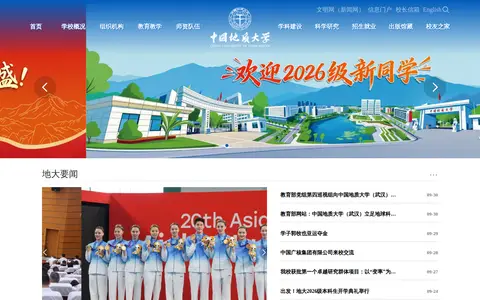
China University of Geosciences, right in Wuhan, China, is pretty great for Earth and Planetary Sciences, Environmental Science and Energy.
Directory
Published directory entries matching your search.
China University of Geosciences, right in Wuhan, China, is pretty great for Earth and Planetary Sciences, Environmental Science and Energy.
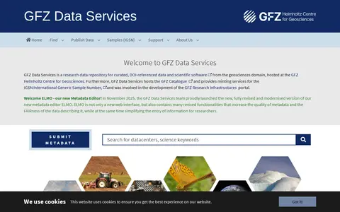
Searchable repository for finding geosciences datasets and compiled data.
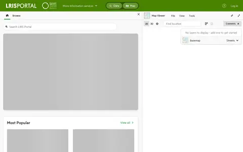
Search geosciences data collections and supporting dataset from CAN.
Search geosciences data collections and supporting datasets from USA.

Research data portal for exploring geosciences records, including geospatial data.

Dataset repository covering geosciences, with searchable dataset.

Research data portal for exploring geosciences records, including geospatial data.
Dataset repository covering geosciences, with searchable datasets.

Browse research datasets and image related to geosciences.

Searchable repository for finding geosciences datasets and geospatial data.
Browse research datasets and observational data related to geosciences.
Find and access geosciences research data, with indexed datasets.

Browse research datasets and geospatial data related to geosciences.

Find and access geosciences research data, with indexed geospatial data.
Dataset repository covering geosciences, with searchable datasets.
Dataset repository covering geosciences, with searchable datasets.
Research data portal for exploring geosciences records, including datasets.

Browse research datasets and image related to geosciences.
Research data portal for exploring geosciences records, including datasets.
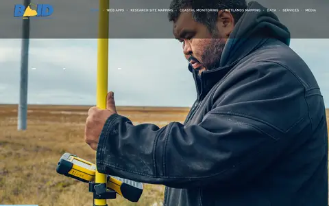
The Barrow Area Information Database (BAID) is a resource for learning about data collection activities in the Barrow area on the North Slope of Alaska. Its team collaborates with scientists and the local community to compile and share information through online web mapping applications. Applications cover historical imagery, coastal erosion, community planning and research sites.
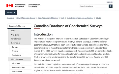
The Canadian Database of Geochemical Surveys is the public interface to a Geological Survey of Canada database that catalogues regional geochemical surveys across Canada. It provides high-level metadata for catalogued surveys and links to spreadsheets and KML maps for standardised raw data, with data presented through an index map query, periodic table search and index tables.

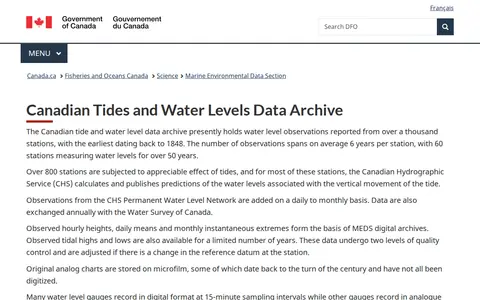
The Canadian Tides and Water Levels Data Archive holds water level observations from over a thousand stations, the earliest dating from 1848. It includes hourly heights, daily means and monthly extremes, with predictions published for most tidal stations. Data are quality controlled and adjusted for datum changes; 15-minute data are not generally released.

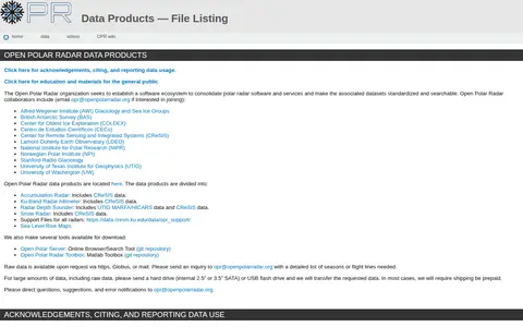
The Open Polar Radar organization seeks to establish a software ecosystem to consolidate polar radar software and services and make the associated datasets standardized and searchable. Data products include Accumulation Radar, Ku-band Radar Altimeter, Radar Depth Sounder, and Snow Radar. Tools include the Open Polar Server and the Open Polar Radar Toolbox.
The Columbia Basin Water Hub is a data platform holding 452 datasets from 55 organizations across 12 collections. Data come from many sources and are shared under licences such as Creative Commons and the Open Government Licence. The hub team conducts a preliminary quality assurance and quality control protocol and assigns a Data Grade to each resource. Users are directed to each dataset's metadata and licence before use.