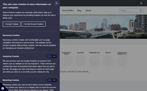

The London Datastore is a free and open data-sharing portal providing access to data about the capital, with over a thousand datasets for citizens, businesses, researchers and developers. The beta Data for London Library, launched in 2025, offers search across London data sources and links to additional datasets.
British Oceanographic Data Centre
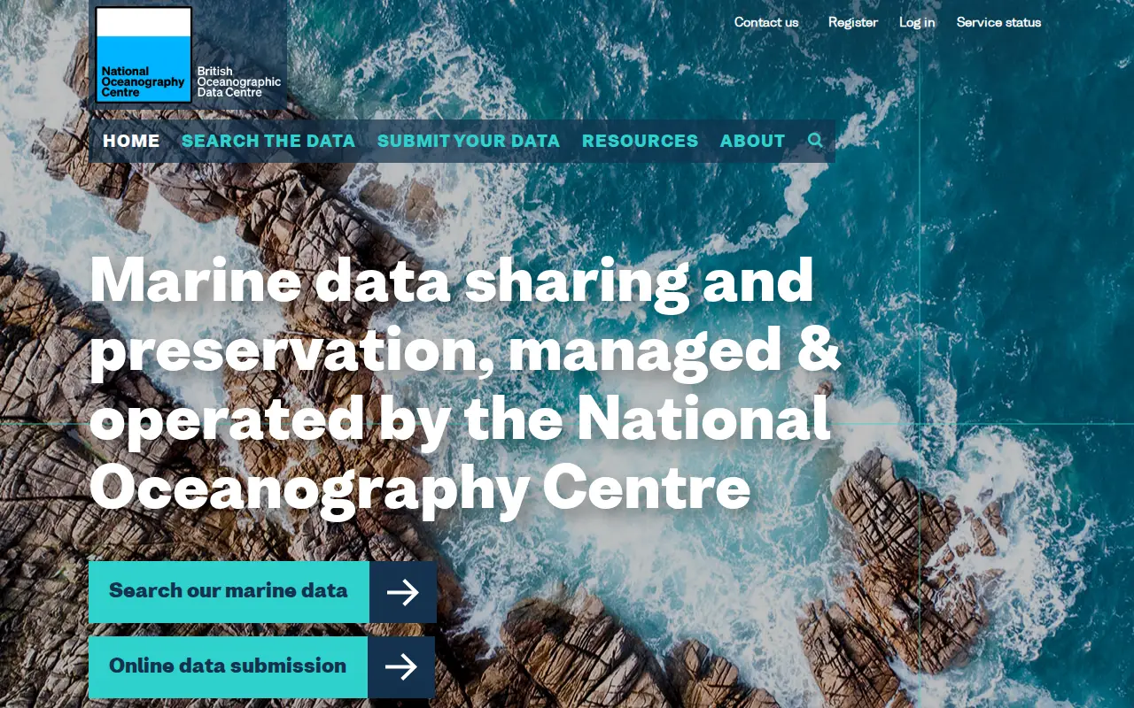
The British Oceanographic Data Centre (BODC) is a national facility for preserving and distributing oceanographic and marine data. Part of the UK's National Oceanography Centre, it provides access to over 130,000 unique data sets and maintains a cruise inventory of UK research vessel activities from 1947 onward.
Features
- national facility for preserving and distributing oceanographic and marine data Source: www.bodc.ac.uk
Uses
- instant access to over 130,000 unique data sets Source: www.bodc.ac.uk
Links
Tags
-
0The London Datastore is a free and open data-sharing portal providing access to data about the capital, with over a thousand datasets for citizens, businesses, researchers and developers. The beta Data for London Library, launched in 2025, offers search across London data sources and links to additional datasets.

-
0
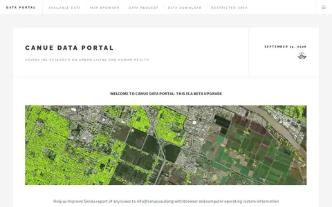
The CANUE Data Portal is a product of the Canadian Urban Environmental Health Research Consortium for research on urban living and human health. The portal is described as a beta upgrade and offers a map browser, data request, data download and restricted area; users are asked to report issues to [email protected].
-
0
Search history data collections and supporting datasets from GBR.
-
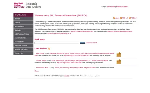
0SHURDA is a repository for digital and non-digital research data produced by researchers at Sheffield Hallam University. It offers quick search and lists latest additions, and supports OAI 2.0 with a base URL.
-
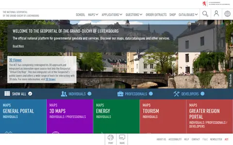
0The national geoportal of the Grand-Duchy of Luxembourg is the official platform for governmental geodata and services. It provides maps, data catalogues, a 3D viewer and thematic portals, including energy, tourism, environment and the Greater region. Plugins let QGIS and ArcGIS Pro users search for a location, choose a basemap and add map layers or vector data.
-
0
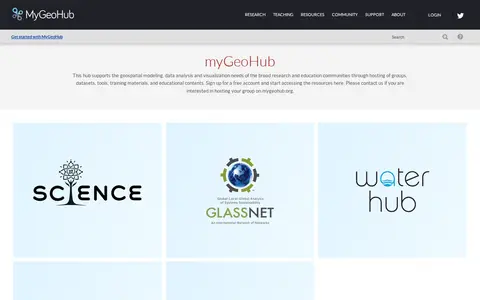
MyGeoHub is a hub built on the HUBzero platform that supports geospatial modeling, data analysis and visualization for research and education communities. It hosts groups, datasets, tools, training materials and educational content, and offers a free account for accessing resources. It also allows groups to be hosted on the site.
Community notes
Reviews and discussion
No reviews yet
Be the first to share how this project worked for you.
Join the discussion
Sign in with a verified account to leave a review or join the discussion.
Sign in to review