
osnaData is the research data repository of Osnabrück University, built on the Dataverse platform. It supports the deposit, management and open publication of research datasets in alignment with the university's research data policy.
African Plants
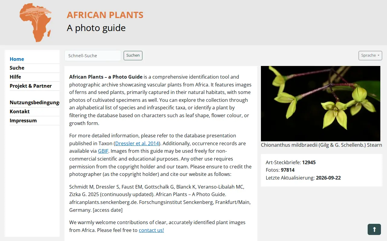
African Plants – a Photo Guide is an interactive photographic guide for identifying higher plants from Africa, with images of ferns and seed plants usually taken in the field. Users can browse an alphabetical list of species and infraspecific taxa or filter the database by characters such as leaf shape, flower colour or growth form. Images may be used freely for non-commercial scientific and educational purposes.
Links
Tags
-
0osnaData is the research data repository of Osnabrück University, built on the Dataverse platform. It supports the deposit, management and open publication of research datasets in alignment with the university's research data policy.

-
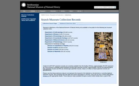
0This Smithsonian National Museum of Natural History page provides search access to museum collection records. It also links to sections on exhibits, research, education, events, about, and joining the museum.
-
0InnateDB is a publicly available database of genes, proteins, experimentally verified interactions and signaling pathways involved in the innate immune response of humans, mice and bovines to microbial infection. It integrates interactions and pathways from major public databases with manually curated data, and offers pathway, Gene Ontology and network analysis tools.
-
0
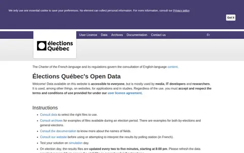
Élections Québec's Open Data is a website that provides data accessible to everyone, mostly used by media, IT developers and researchers in websites, applications and studies. Users must accept the user licence agreement. On election day, results files are updated every two to five minutes starting at 8:00 pm.
-
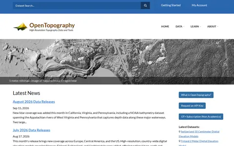
0OpenTopography is a platform providing high-resolution topography data and tools, including lidar point clouds, digital elevation models and hillshade imagery. It offers data discovery, programmatic access to raster DEM datasets through a STAC catalog, and a Point Elevation API returning elevation for any location from global and regional datasets.
-
0
Search a government or civic data catalog for reusable public information.
Community notes
Reviews and discussion
No reviews yet
Be the first to share how this project worked for you.
Join the discussion
Sign in with a verified account to leave a review or join the discussion.
Sign in to review