
arcgis.com
Public traffic camera map for viewing road conditions around Baton Rouge.
Directory
Published directory entries matching your search.
Public traffic camera map for viewing road conditions around Baton Rouge.

Public traffic camera map for viewing live road conditions around Lubbock.

Live ship tracking map showing vessel positions, AIS data, ports, routes, and maritime traffic.
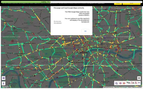
Transport for London camera viewer showing live traffic cameras and road conditions.

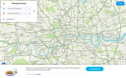
Waze Live Map shows traffic, road alerts, routes, and driver-reported incidents in real time.

Digital Attack Map is a live data visualization of DDoS attacks around the globe, presented by Jigsaw. It shows top daily DDoS attacks worldwide and offers modes for large, unusual and combined attacks, plus a map and table view and historical data.

A live map showing London Underground trains as yellow dots in approximately real time, built by Matthew Somerville. Live departure data is fetched from the TfL API. Schematic and Skyfall versions are also offered. It was originally built at Science Hackday in June 2010.

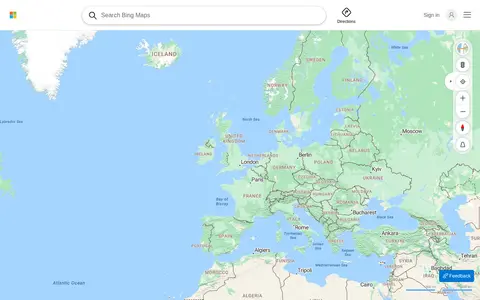
Bing Maps provides web maps, directions, traffic views, aerial imagery, and place search.
MapQuest provides maps, route planning, driving directions, traffic, and local place search.

openScope is a free and open source air traffic control simulator. The interface references arrivals, overflights, departures, fixes and runways, SID and STAR displays, airspace depiction, restricted areas, terrain, video maps, settings, speech, traffic, an airport guide, commands, a tutorial, a changelog and chat.

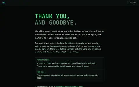
TrafficVision.Live is a free public directory of live cameras. It aggregates over 155,000 live feeds from 700+ official sources across 130+ countries, including traffic, weather, beach, airport, wildlife, and landmark cams. Users can browse feeds via an interactive world map, build custom driving routes to track cameras along a path, view AI traffic overlays, and play the built-in CamGuessr location guessing game. No account or signup is required.

Yandex Maps offers maps, routing, traffic, transit, business listings, and local place search.

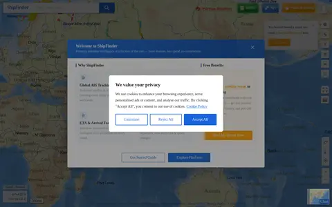
ShipFinder map showing AIS vessel positions, ship details, and live maritime traffic.
Check Point live map visualizing cyber attacks and threat activity by region.

WorldCam is a portal that aggregates live webcams from locations worldwide. It provides a map and search function to browse webcams by category, including beach, ski, and animal cams. The site also lists popular and recently added webcams, offers a sunlight map and weather resources, and publishes information on required software for accessing webcam content.

Google Maps provides maps, directions, satellite views, business listings, street views, and location search.

AIS map for tracking ships and vessel traffic around the Great Lakes and nearby waterways.

Live flight tracking map showing aircraft positions, routes, flight details, and airport traffic.

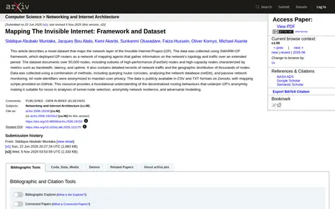
This dataset maps the network layer of the Invisible Internet Project (I2P), collected using the SWARM-I2P framework, which deployed I2P routers as mapping agents. It documents over 50,000 nodes with metrics such as bandwidth, latency, and uptime, plus network traffic records and geographic distribution. Node identifiers were anonymized. Data is available in CSV and TXT formats on Zenodo, with mapping scripts on GitHub.

Public fire camera map for monitoring wildfire conditions and regional camera feeds.
Marine Vessel Traffic page for tracking listed submarine vessels and related maritime map data.

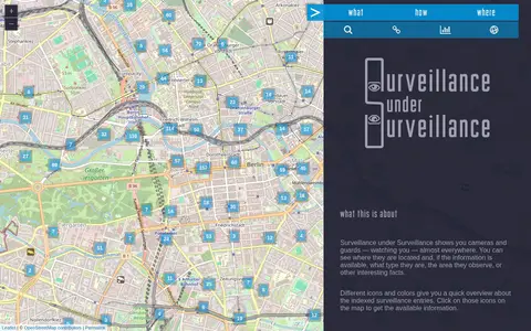
Surveillance under Surveillance is a map showing surveillance cameras and guards, with type, observed area and other information where available. It uses OpenStreetMap contributor data not visualized on the regular OpenStreetMap site, updated once an hour. New or revised entries can be added using an OSM account.

Live Toronto police calls dashboard showing public incident categories and map-based activity.

Ukraine Live Cams is a 3D map visualization of live cameras in Ukraine, Drag and arrow keys move, mouse wheel or plus/minus keys zoom, and holding the right mouse button or Ctrl while dragging rotates and tilts the view.