
onemilliontweetmap.com
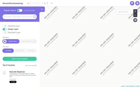
Interactive map showing geotagged tweets around the world for location-based social media research.
Directory
Published directory entries matching your search.
Interactive map showing geotagged tweets around the world for location-based social media research.
Interactive demo for exploring geotagged tweets and social activity on a map.

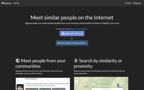
Tagmap creates interactive maps of internet communities such as Reddit and Discord to help users meet similar people. It matches users who share servers, subreddits and interests, and offers search by similarity or proximity, user messaging and notifications, and privacy controls. Users can set their own location and choose who can see their profile. New maps can be created and are free.
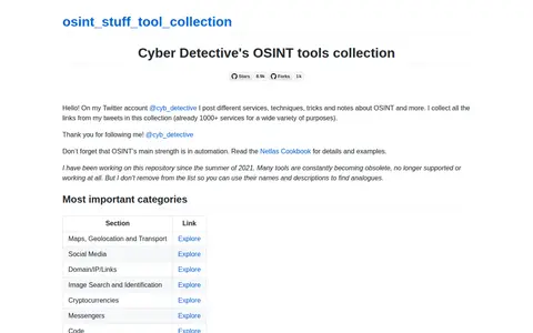
Cipher387's large OSINT tool collection covering social media, domains, people, maps, and more.
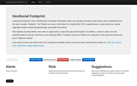
GeoSocial Footprint is an educational demonstration site that lets Twitter users view the location information they disclose and highlights potential areas of concern with their sharing habits. It retrieves public tweets and analyzes them to calculate a geosocial risk, then offers suggestions for reducing a user's geosocial footprint.
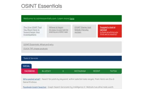
Curated OSINT toolkit with links for people search, social media, maps, domains, and research.

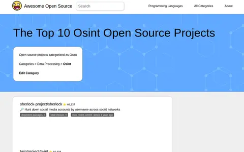
Awesome Open Source lists open source projects categorized as OSINT alongside repository details. Entries include Sherlock for hunting social media accounts by username, Twint for Twitter scraping, Amass for attack surface mapping and asset discovery, and SpiderFoot, which automates OSINT for threat intelligence. Each entry shows dependent packages, total releases and most recent commit information.

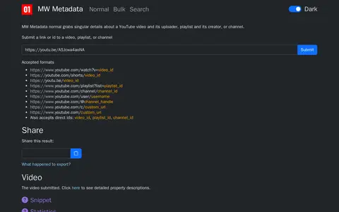
MW Metadata gathers metadata about a YouTube video, playlist, or channel from the YouTube API. Users submit a link or ID, and the tool supports reverse image search of thumbnails, geolocation in Google Maps, and translation of ISO country and language codes. Results can be exported as a zip file or shared.