mapquest.com
MapQuest provides maps, route planning, driving directions, traffic, and local place search.
Directory
Published directory entries matching your search.
MapQuest provides maps, route planning, driving directions, traffic, and local place search.

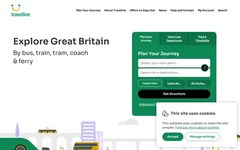
Traveline is a journey planning site for exploring Great Britain by bus, train, tram, coach and ferry. It offers journey planning, live departures and timetables, and lets users save favourites. A new Traveline app is described as coming soon.

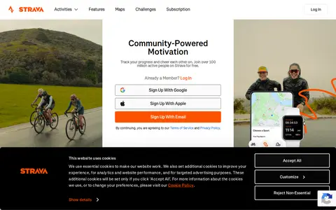
Route planner, navigation app, tour directory and social network for outdoor activities.

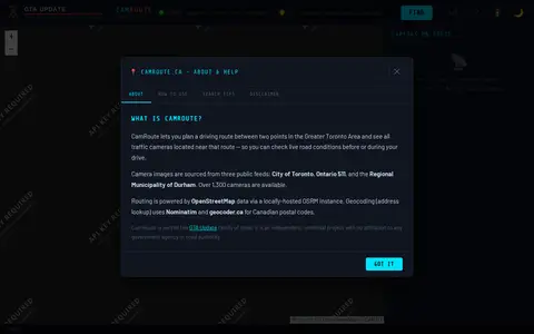
CamRoute is a tool for planning a driving route in the Greater Toronto Area and viewing traffic cameras near that route. It draws on over 1,300 cameras from the City of Toronto, Ontario 511, and Durham Region, with routing powered by OpenStreetMap data. It is described as an independent, unofficial project.

Google Maps provides maps, directions, satellite views, business listings, street views, and location search.

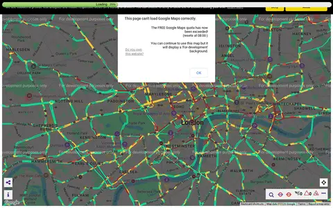
Transport for London camera viewer showing live traffic cameras and road conditions.

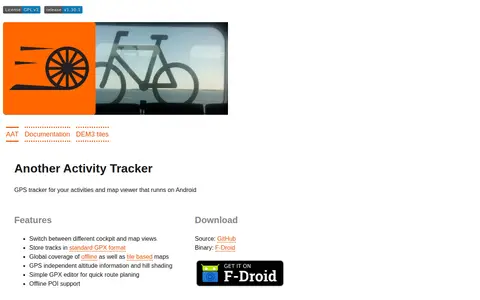
AAT (Another Activity Tracker) is a GPS tracker and map viewer for Android. It stores tracks in GPX format, switches between cockpit and map views, and provides offline and tile-based maps with altitude information and hill shading. It includes a simple GPX editor for route planning and offline POI support.

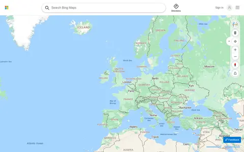
Bing Maps provides web maps, directions, traffic views, aerial imagery, and place search.

A live map showing London Underground trains as yellow dots in approximately real time, built by Matthew Somerville. Live departure data is fetched from the TfL API. Schematic and Skyfall versions are also offered. It was originally built at Science Hackday in June 2010.
Online search tool for finding websites, documents and related information.

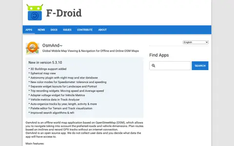
OsmAnd~ is an open source offline world map application based on OpenStreetMap, available from F-Droid. It offers map viewing, GPS navigation without an internet connection, route planning and GPX track recording. The listing notes anti-features including non-free assets and tracking via an installation ID sent with map download requests.

Online world map service offering a satellite view of the Earth with labels, a ruler, place sharing, search and locating. It also lists route planning, state boundary tracking, city lists for each state and weather forecast.
Strava is a social network and tracking tool for runners, cyclists, hikers and other active people, available on mobile app and website. It records activities using a phone or GPS device, shares efforts with friends, and provides metrics such as speed, pace, distance and Relative Effort. Desktop offers training plans, route planning and activity breakdowns. Free to join and use.

Uno is a bus operator whose site offers journey planning and news about services and routes. It lists days out by bus to Milton Keynes, Bedford, Welwyn Garden City and Hertford, and notes contactless payment via Express Pay with Apple Pay on all Uno buses.

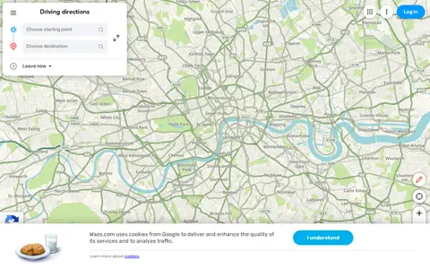
Waze Live Map shows traffic, road alerts, routes, and driver-reported incidents in real time.

Yandex Maps offers maps, routing, traffic, transit, business listings, and local place search.