
rodadas.anp.gov.br
Searchable repository for finding geophysics and geodesy datasets and datasets.
Directory
Published directory entries matching your search.
Searchable repository for finding geophysics and geodesy datasets and datasets.
Dataset repository covering geophysics and geodesy, with searchable datasets.
Searchable repository for finding geophysics and geodesy datasets and datasets.

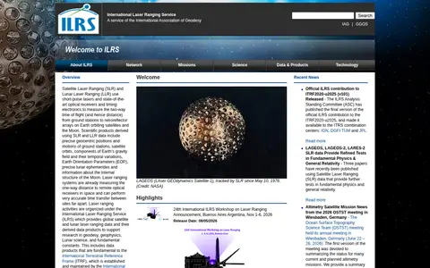
The International Laser Ranging Service provides global satellite and lunar laser ranging data and derived data products. Satellite and lunar laser ranging use short-pulse lasers and optical receivers to measure two-way time of flight from ground stations to retroreflector arrays on satellites and the Moon. The service supports research in geodesy, geophysics, lunar science and fundamental constants.

Find and access geophysics and geodesy research data, with indexed datasets.
Dataset repository covering geophysics and geodesy, with searchable geospatial data.

Find and access geophysics and geodesy research data, with indexed datasets.

Find and access geophysics and geodesy research data, with indexed datasets.

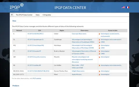
The IPGP Data Center manages and distributes several types of data from networks including the Geoscope Observatory and the volcanological and seismological observatories of Guadeloupe, Martinique, Réunion and Mayotte. It also provides access to validated earthquake data and volcano activity reports, and hosts the IPGP Research Collection for sharing and preserving research data and documents.

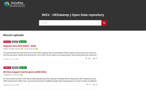
OEDataRep is the open data repository operated by INGV - OE and powered by the InvenioRDM platform. It hosts research data collections, features recent uploads, and provides documentation, search guides, a data registry, data policies, and related services including TSDSystem and Geoserver. Users can contribute data via GitHub, and the repository is listed in relevant research data platforms.

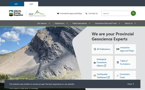
The Alberta Geological Survey is a provincial geoscience body that publishes geological data, maps and reports for Alberta. It offers publications and interactive tools, including the Geothermal Atlas, the Mineral Occurrences dashboard, the Table of Formations and an earthquake dashboard.
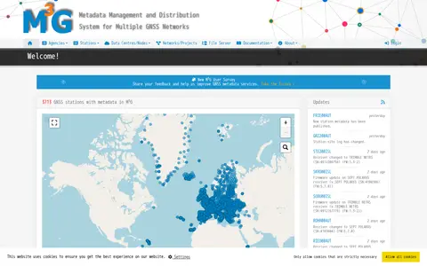
M3G is a metadata management system for multiple GNSS networks. It lists GNSS stations with details such as identifiers, site names, DOMES numbers, installation dates, countries, cities, data licenses, GeodesyML, site logs and MOID, and displays recent station update notices.
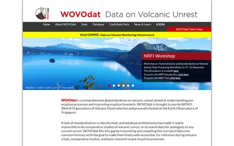
WOVOdat is a global database on volcanic unrest maintained by WOVO and hosted at the Earth Observatory of Singapore. It offers tools including data search by volcano, Boolean searches, side-by-side comparisons, and a web service for data retrieval. Submitted data is converted into XML format and stored in a MySQL database system.

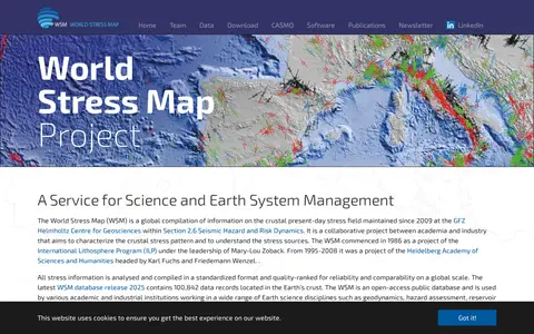
The World Stress Map is a global compilation of information on the crustal present-day stress field, maintained since 2009 at the GFZ Helmholtz Centre for Geosciences. It is an open-access database with stress information compiled in a standardized, quality-ranked format. The 2025 database release contains 100,842 data records in the Earth's crust.