
acleddata.com
ACLED crisis monitor mapping protests, political violence, and social unrest across the United States.
Directory
Published directory entries matching your search.
ACLED crisis monitor mapping protests, political violence, and social unrest across the United States.

Liveuamap page presenting Syrian Civil War news on an interactive map in English, covering the civil war, international intervention and terrorism in Syria. The site offers news, live updates and a map, and offers an ad-free option from $8 per month.

ArcGIS wildfire map visualizes fire activity, boundaries, incidents, and related geographic layers.
Johns Hopkins COVID-19 map visualizes cases, deaths, trends, and outbreak data by location.
Live action map for tracking conflict, incidents, and breaking events by location.

Liveuamap is an independent global news and information site that reports on topics such as conflicts, human rights issues, protests, terrorism, weapons deployment, health matters, natural disasters and weather. It presents news through a map-centric approach and provides open online access to a chronological archive. It was founded in 2014 to inform about the Ukrainian conflict and later expanded to other regions.
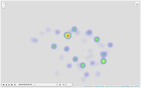
Heatmap visualizing Ukraine war activity, incidents, and conflict intensity by location.

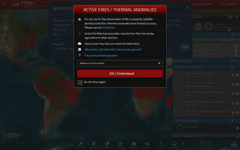
NASA FIRMS map shows satellite-detected fires, hotspots, and fire activity around the world.

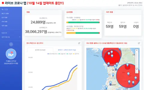
Korean COVID-19 map and dashboard for tracking outbreak data, cases, and local updates.

ArcGIS dashboard visualizing recent earthquakes, locations, magnitudes, and related seismic data.
US incident information system for wildfires, emergency incidents, maps, and official updates.

ArcGIS dashboard showing MODIS satellite wildfire detections, hotspots, and fire activity.