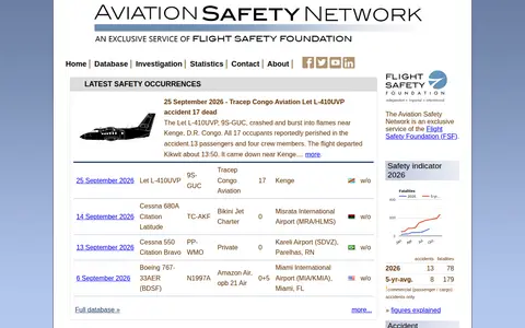
The Aviation Safety Network is a service of the Flight Safety Foundation that provides information on airliner accidents and civil aviation safety issues. It consists of three databases: an accident database updated daily with over 23,000 descriptions dating back to 1919, a community-updated Wikibase of more than 258,000 accidents, and a drone database of over 15,000 sightings.

Directory
Search results
Published directory entries matching your search.
Planespotters.net is a civil aviation database with 1 million photos and information on 50,000 aircraft. It provides information on registrations, airframes and airlines, along with aviation photos, latest deliveries and photo news.
Flight tracking map for viewing aircraft positions, routes, airports, and aviation data.
Live flight tracker showing aircraft positions, ADS-B data, routes, and aviation details.
Flight tracking and aviation search tool for monitoring aircraft, routes, and flight activity.
ArcGIS map showing ICAO civil and military airspace layers and aviation-related boundaries.
LiveATC streams air traffic control radio feeds from airports and aviation facilities.
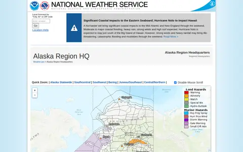
The Alaska Region Headquarters of the National Weather Service provides regional weather forecasts and warnings. The page links to forecast offices in Anchorage, Fairbanks and Juneau, plus information on sea ice, marine weather, fire weather, aviation forecasts, river forecasts and tsunami information from the National Tsunami Warning Center. It also lists current hazards, observations, radar and climate data.
Flight tracking map using ADS-B data to show aircraft positions, callsigns, and routes.
Travel search engine for comparing flights, routes, airlines, hotels, and car rentals.
Flight tracking service for live aircraft positions, routes, airport delays, and flight history.
Live flight tracking map showing aircraft positions, routes, flight details, and airport traffic.
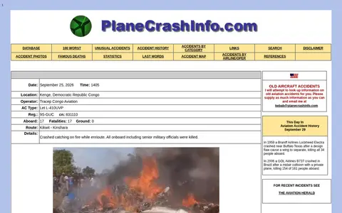
A database listing aviation accidents from 1908 through the present, browsable by category, airline and operator, with sections for accident photos, statistics, famous deaths, last words and an accident map. Each entry records date, location, operator, aircraft type, registration, occupants and fatalities.
Radio frequency database for public safety, aviation, trunked systems, and scanner information.
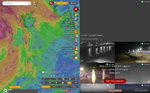
Windy Webcams is a service that provides worldwide animated weather maps, wind and wave forecasts, weather radar, satellite imagery, and aviation weather data including METAR, TAF and NOTAM reports for various user groups.