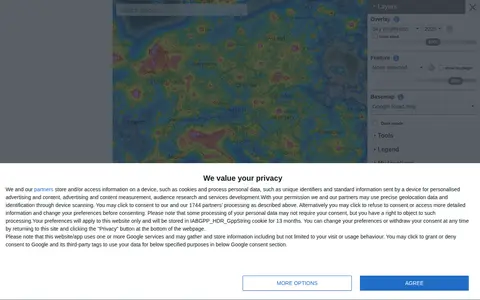
An interactive world map of light pollution that overlays data including NASA Black Marble VIIRS, sky brightness, aurora prediction, observatories and clouds, with SQM/SQC measurements contributed by users. It offers tools such as distance measurement, sky brightness simulation and a search for the closest dark site.
Directory
Search results
Published directory entries matching your search.
Filters
lightpollutionmap.info
cpre.org.uk
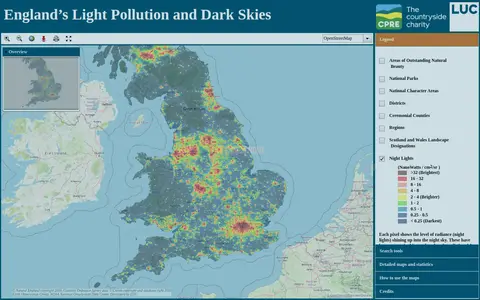
An online map of England's light pollution and dark skies. Users can search by postcode, district or National Character Area, tick boundaries in the legend to display them, and click the map for detailed information about an area. The map uses OpenStreetMap and World Imagery data and was developed by LUC.
darksitefinder.com
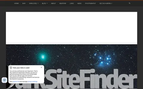
Dark Site Finder is a website with a light pollution map, updated with 2022 data, intended to help users find dark skies. It also includes a listing of dark sites and blog posts about stargazing, photography and astronomical events.